The Friendship Highway in Tibet runs from Lhasa to the Tibet/Nepal border. Part of our tour package was to be driven down from Lhasa to the Nepal border, through Shigatse and Tingri before arriving at the border-town Zhangmu (Kodari.) The route is about 740km long, and takes a total of 15 hours or so of driving to complete it. Hit the jump for some more images and notes on this famous route.
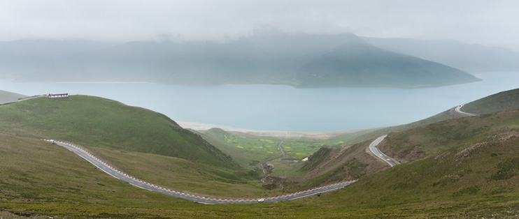
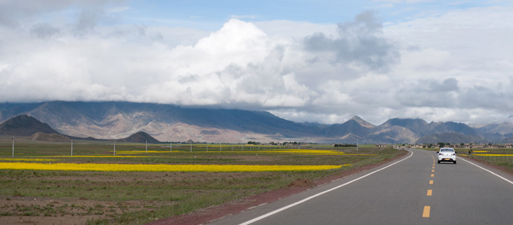
It's an amazingly scenic route taking you up into the clouds, mountains, and dry cool air, down to the lush greens of the edge of Nepal. The photo above is of a section of the highway near Lhasa. The lake is the Yamdrok Tso, which you can also see in the following picture.
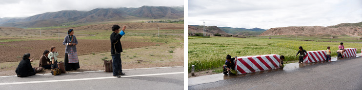
In the next photos you can see some Nomads hitching a ride across the highway, and some children playing around the concrete barriers.
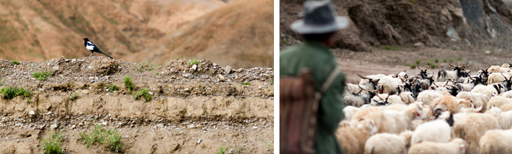
An interesting photo of a bird perfectly in focus as we rushed by in the truck, along with a photo of a shepherd with his flock of sheep.
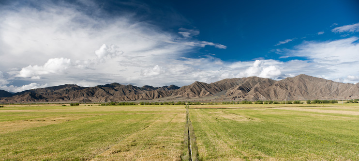
Here's a photo showcasing the beautiful landscapes along the Friendship Highway.
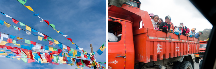
There were some interesting sights along the way. At every high point along the route people would leave thousands of prayer flags strung about, almost to the point of waste. There were also several large trucks filled with children. I'm assuming that's their school bus?
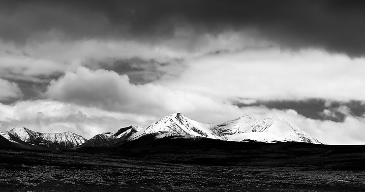
At the highest point on the route, 5260m altitude, the air was very thin. We didn't spend much time there. This was officially the highest ground I've ever stepped foot on. As we were leaving that peak, I took this photo, at an altitude about 200m lower.
Beautiful yellow fields and rich blue sky.
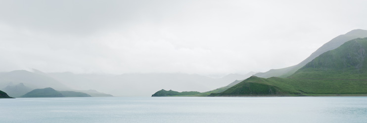
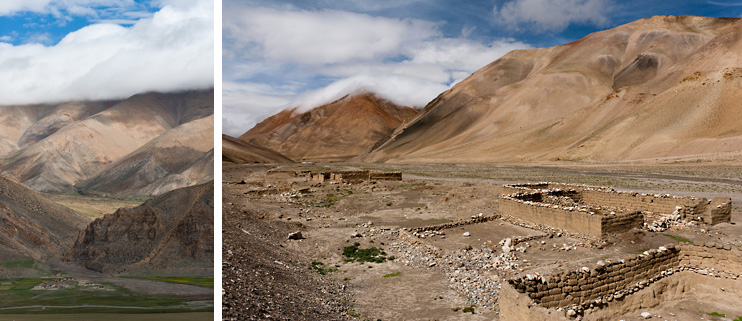
The first image here was taken very high up on the route, down to a little village at the base of a valley. The second one is of some ruins along the highway about 40km away from the Nepal border. You can see the clouds hugging the hill-tops carefully in both photos.
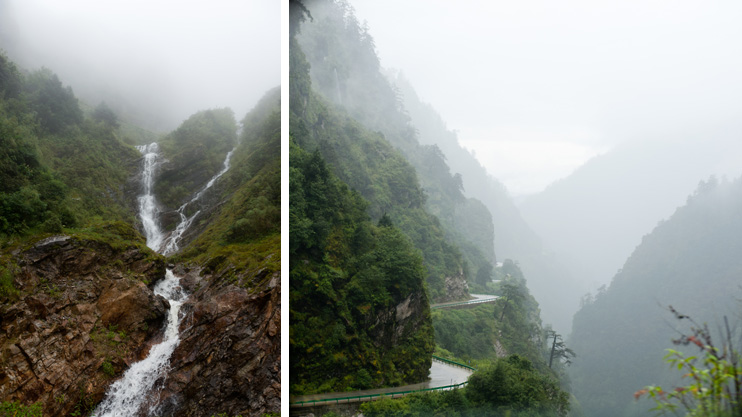
As you approach the Nepal border, the altitude drops from 3000m to around 1200m pretty sharply, and the scenery changes very quickly too, going from the dry rubble you see in the photos above, to the humid lush green you see in the photos below. Waterfalls become a common site, with the road washed out in many areas.
I've included a map of our GPS logs to show exactly where we went, but as you can see we didn't wander far off from main road. The map is interactive, so please feel free to drag and zoom around to see different landmarks.
This map was created using GPS Visualizer's do-it-yourself geographic utilities.
Please wait while the map data loads...
Well, that's it for now. As always, the entire album of 70 photos is available for you to browse through and comment on in facebook, photos/20100825_FriendshipHighway. The next post will be on the border towns Zhangmu and Kodari, as well as our short stay at The Last Resort. Take care for now!
Sub