307 Images
Properties
|
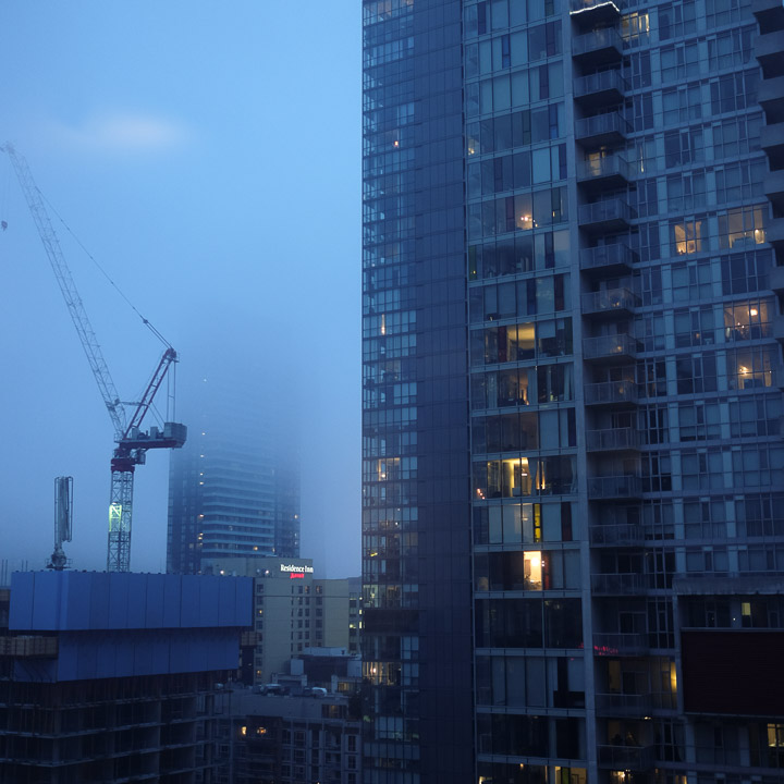
Condo view, the night before we fly out. We were happy to have a friend downtown willing to offer a bed as our flight out from Pearson was first thing in the morning.
Created by: Sebastien Benoit Keywords: Condo, Crane, Highrise, Toronto |
|
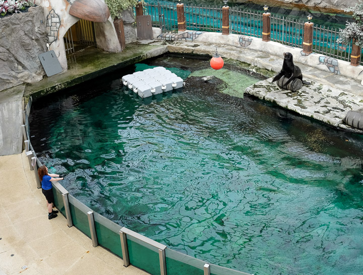
How is this still a thing?
Created by: Sebastien Benoit Keywords: Edmonton, Seal Show, West Edmonton Mall
Map: 53.523, -113.627
|
|
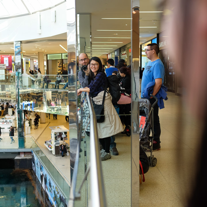
Reflection.
Created by: Sebastien Benoit Keywords: Edmonton, Seal Show, West Edmonton Mall
Map: 53.523, -113.627
|
|
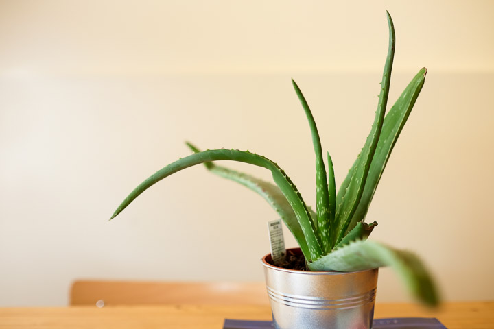
Coffee shop plant.
Created by: Sebastien Benoit Keywords: Edmonton, Plant, The Barking Buffalo Cafe
Map: 53.548, -113.535
|
|
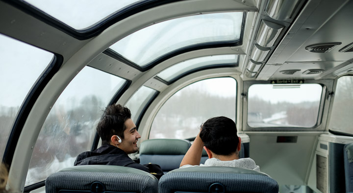
Travelers enjoying the view from the Skyline dome car.
Created by: Sebastien Benoit Keywords: Edmonton to Jasper, Observatory, Skyline dome car, Train 1, Via Rail |
|
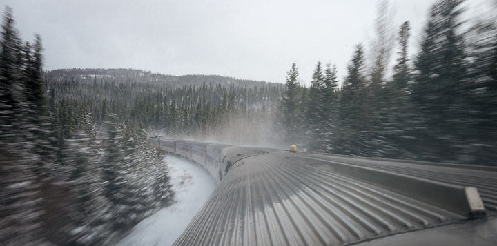
Looking down the back of the train from the Skyline dome car.
Created by: Sebastien Benoit Keywords: Edmonton to Jasper, Train 1, Via Rail |
|
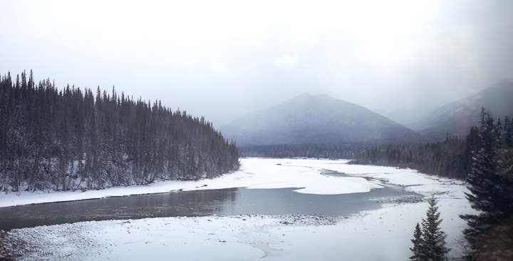
The start of the Rockies.
Created by: Sebastien Benoit Keywords: Edmonton to Jasper, Rocky Mountains, Train 1, Via Rail |
|
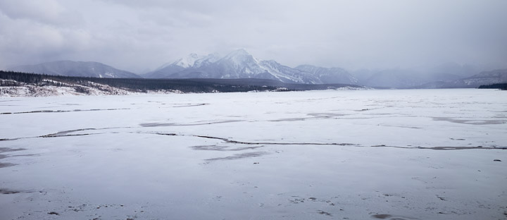
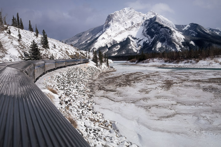
Tundra.
Created by: Sebastien Benoit Keywords: Edmonton to Jasper, Rocky Mountains, Train 1, Via Rail |
|
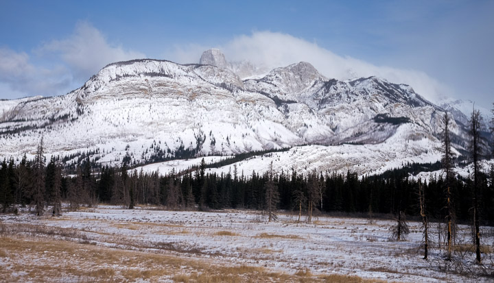
Seeing the Rockies from the back of the Skyline dome car.
Created by: Sebastien Benoit Keywords: Edmonton to Jasper, Rocky Mountains, Train 1, Via Rail |
|
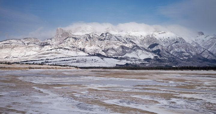
This was around the point where we were all seeing the Rocky Mountains, some of us for the first time. There were a lot of "oooooh"s and "ahhhh"s from everyone.
Created by: Sebastien Benoit Keywords: Edmonton to Jasper, Rocky Mountains, Train 1, Via Rail |
|
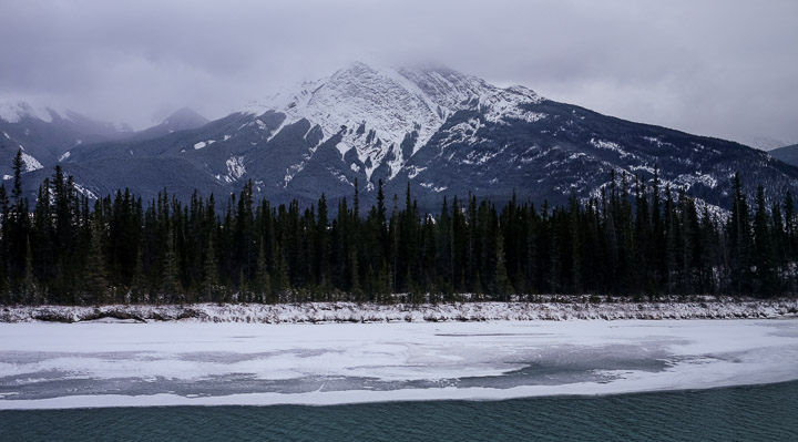
Cloud blanket for a resting mountain.
Created by: Sebastien Benoit Keywords: Edmonton to Jasper, Rocky Mountains, Train 1, Via Rail |
|
Water, ice, tree, rock, cloud.
Created by: Sebastien Benoit Keywords: Edmonton to Jasper, Rocky Mountains, Train 1, Via Rail |
|
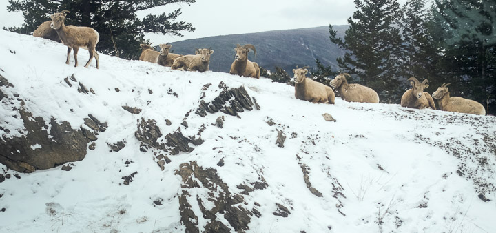
A random herd of mountain goats, just chillin'.
Created by: Sebastien Benoit Keywords: Bighorn Sheep, Edmonton to Jasper, Train 1, Via Rail |
|
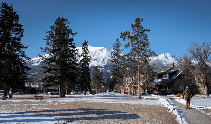
Crisp morning air, my favourite.
Created by: Sebastien Benoit Keywords: Jasper, Whistlers Peak
Map: 52.878, -118.08
|
|
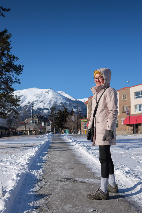
Our first walk through Jasper on a chilly morning.
Created by: Sebastien Benoit Keywords: Jasper, Sejin
Map: 52.878, -118.08
|
|
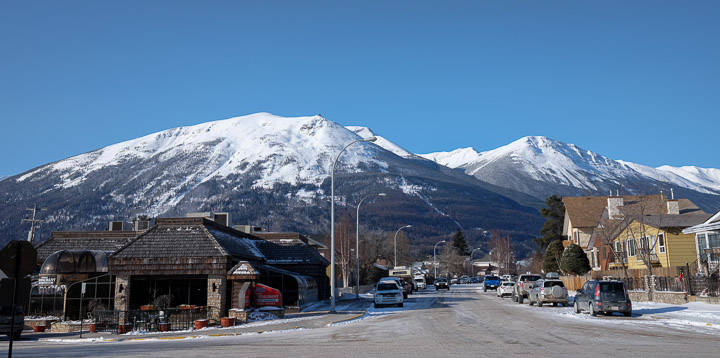
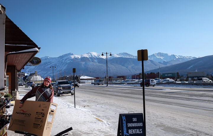
Imagine being surrounded by mountains like these as you go about your daily errands... <3
Created by: Sebastien Benoit Keywords: Jasper
Map: 52.877, -118.081
|
|
Stocking up.
Created by: Sebastien Benoit Keywords: Jasper
Map: 52.874, -118.081
|
|
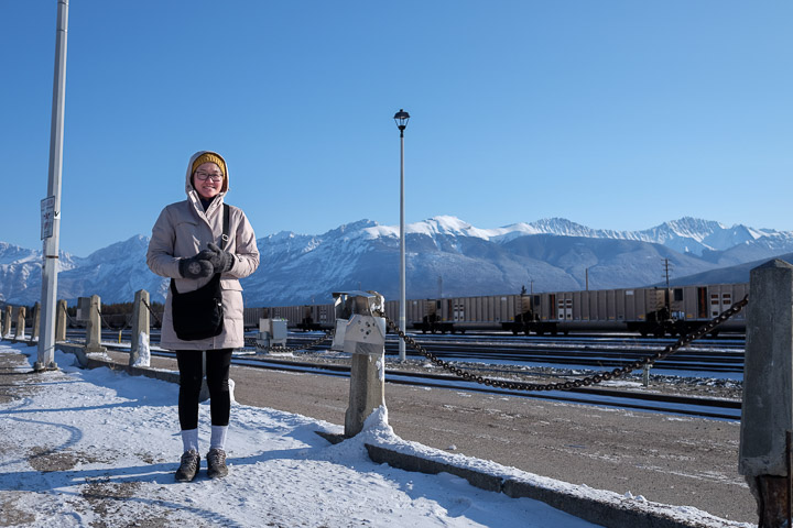
Since our train was 5 hours delayed (ie: on time), we had to wait until the car rental kiosk opened at 10 AM the following morning. No harm, there's lots to see all around us.
Created by: Sebastien Benoit Keywords: Jasper, Sejin
Map: 52.877, -118.079
|
|
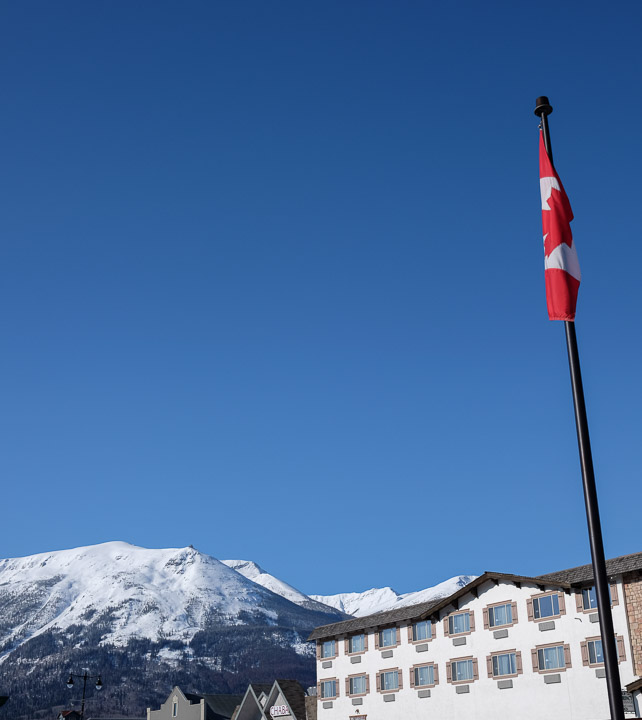
Absolutely still.
Created by: Sebastien Benoit Keywords: Canada Flag, Jasper
Map: 52.877, -118.08
|
|
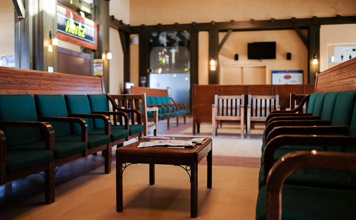
The Jasper train station; from another era.
Created by: Sebastien Benoit Keywords: Jasper, Jasper Station
Map: 52.876, -118.08
|
|
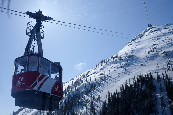
The opposing SkyTram on the way down, as we were going up. We had frost like that in our windows, and were told to scrape it with a card if we wanted to see out of it...
Created by: Sebastien Benoit Keywords: Jasper, Jasper SkyTram, Whistlers Peak
Map: 52.847, -118.124
|
|
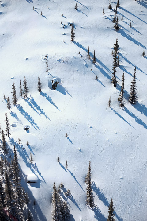
Looking down from the SkyTram.
Created by: Sebastien Benoit Keywords: Jasper, Jasper SkyTram, Whistlers Peak
Map: 52.847, -118.124
|
|
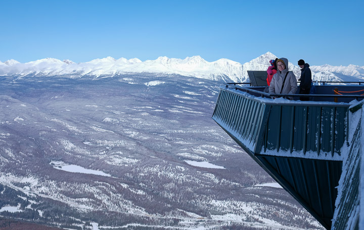
SkyTram upper terminal lookout.
Created by: Sebastien Benoit Keywords: Jasper, Jasper SkyTram, Sejin, Whistlers Peak
Map: 52.836, -118.126
|
|
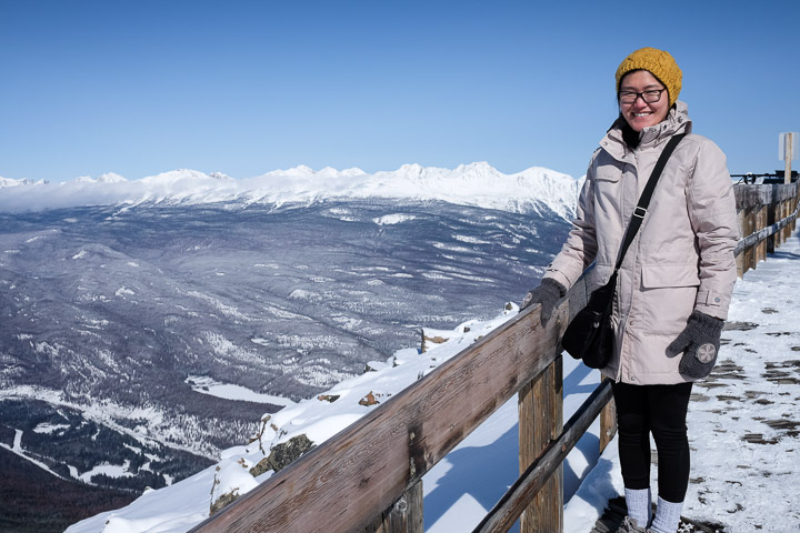
Sejin enjoying the view.
Created by: Sebastien Benoit Keywords: Jasper, Jasper SkyTram, Sejin, Whistlers Peak
Map: 52.836, -118.126
|
|
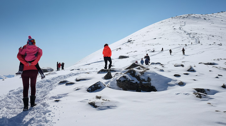
The start of the climb to the summit of Whistlers Peak.
Created by: Sebastien Benoit Keywords: Jasper, Whistlers Peak
Map: 52.835, -118.127
|
|
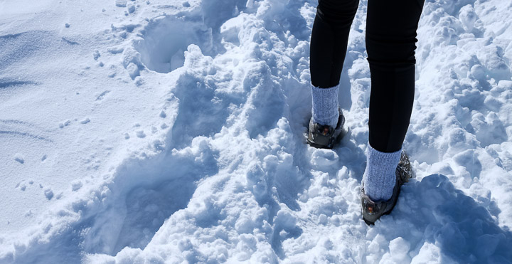
Snow shoes.
Created by: Sebastien Benoit Keywords: Jasper, Whistlers Peak
Map: 52.834, -118.126
|
|
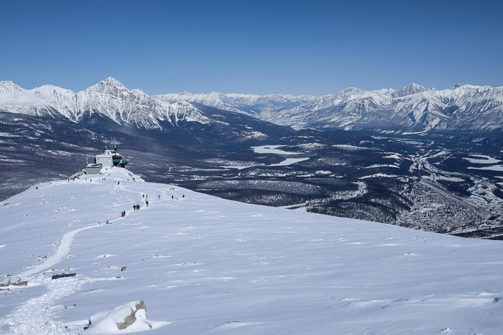
A look down at the upper SkyTram terminal.
Created by: Sebastien Benoit Keywords: Jasper, Whistlers Peak
Map: 52.831, -118.126
|
|
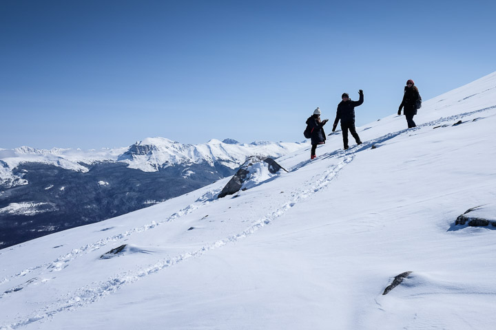
Waving hello.
Created by: Sebastien Benoit Keywords: Jasper, Whistlers Peak
Map: 52.831, -118.126
|
|
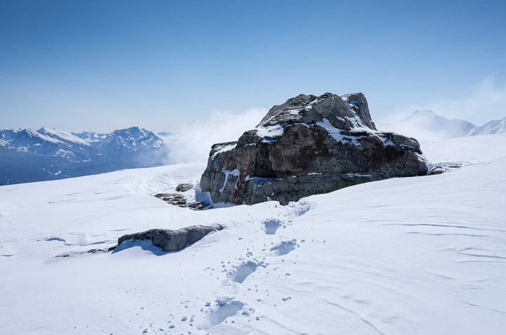
A photogenic rock.
Created by: Sebastien Benoit Keywords: Jasper, Whistlers Peak
Map: 52.83, -118.126
|

|
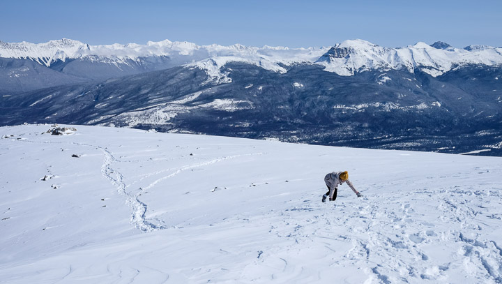
Panoramic of the view 2/3rd of the way up to the summit.
Created by: Sebastien Benoit Keywords: Jasper, Whistlers Peak
Map: 52.829, -118.127
|
|
4x4 required for ascent.
Created by: Sebastien Benoit Keywords: Jasper, Sejin, Whistlers Peak
Map: 52.829, -118.128
|
|
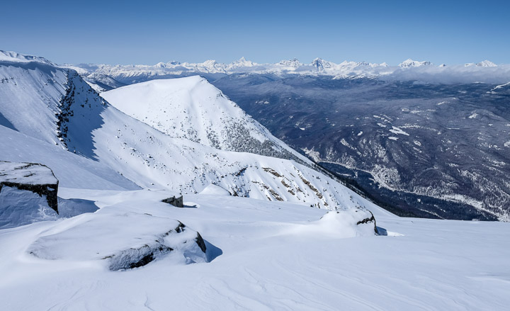
Untouched tranquil beauty.
Created by: Sebastien Benoit Keywords: Jasper, Whistlers Peak
Map: 52.829, -118.127
|
|
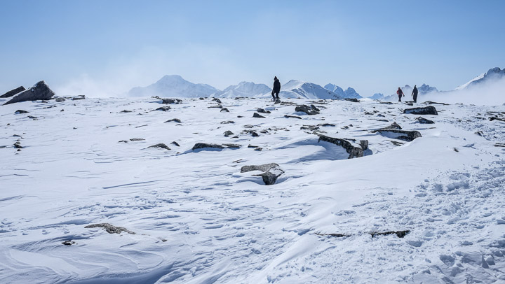
Wanderers.
Created by: Sebastien Benoit Keywords: Jasper, Whistlers Peak
Map: 52.828, -118.128
|
|
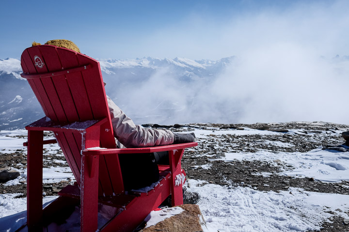
A brief stop, to watch the clouds tumble by.
Created by: Sebastien Benoit Keywords: Adirondack Chair, Jasper, Sejin, Whistlers Peak
Map: 52.827, -118.128
|

|
Panoramic of the view from the false summit.
Created by: Sebastien Benoit Keywords: Jasper, Sejin, Whistlers Peak
Map: 52.827, -118.128
|

|
Panoramic of another view from the false summit.
Created by: Sebastien Benoit Keywords: Adirondack Chair, Jasper, Sejin, Whistlers Peak
Map: 52.827, -118.128
|
|
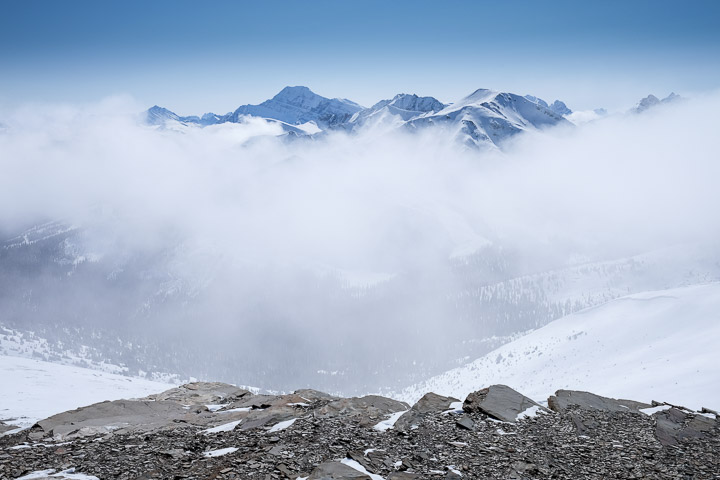
View down from the false summit; don't lose your footing.
Created by: Sebastien Benoit Keywords: Jasper, Whistlers Peak
Map: 52.827, -118.128
|
|
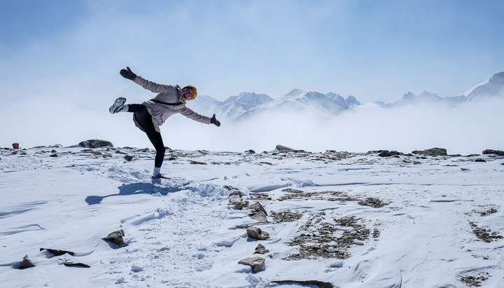
Peg leg.
Created by: Sebastien Benoit Keywords: Adirondack Chair, Jasper, Sejin, Whistlers Peak
Map: 52.827, -118.128
|
|
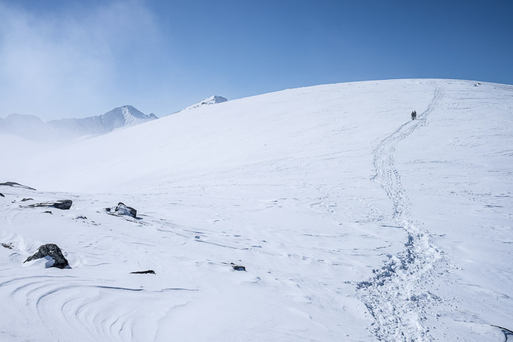
The pathway to the summit.
Created by: Sebastien Benoit Keywords: Jasper, Whistlers Peak
Map: 52.828, -118.129
|
|
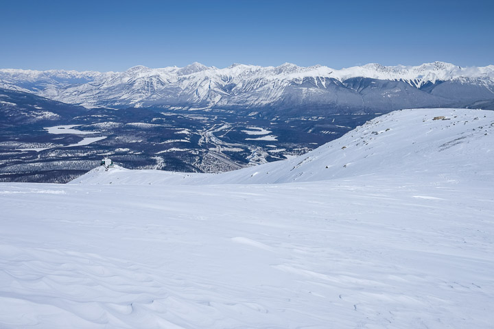
We can still see the upper SkyTram terminal from here.
Created by: Sebastien Benoit Keywords: Jasper, Whistlers Peak
Map: 52.828, -118.129
|
|
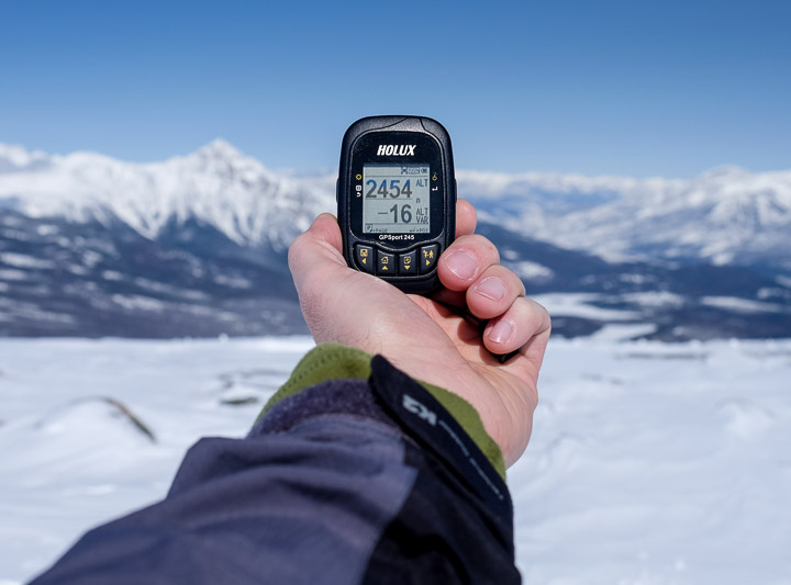
At the summit; ~2454m elevation
Created by: Sebastien Benoit Keywords: 2454m, Jasper, Whistlers Peak
Map: 52.827, -118.131
|

|
Panoramic of the Western view from the Whistlers Peak summit.
Created by: Sebastien Benoit Keywords: Jasper, Whistlers Peak
Map: 52.827, -118.132
|
|
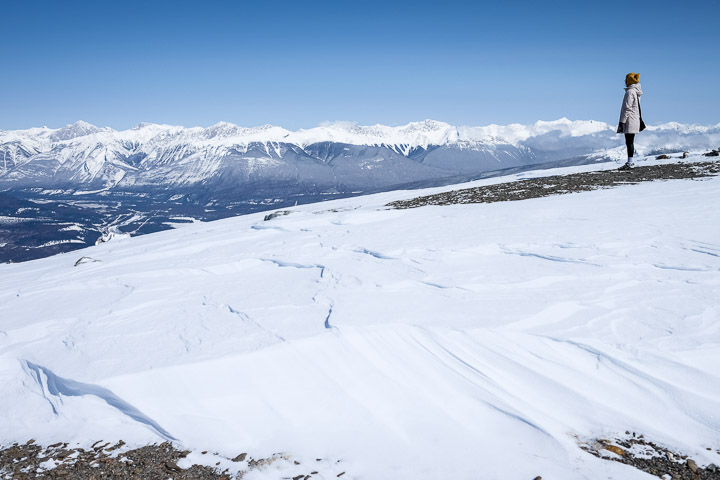
Sejin, mesmerized by the view from the summit.
Created by: Sebastien Benoit Keywords: Jasper, Sejin, Whistlers Peak
Map: 52.827, -118.132
|
|
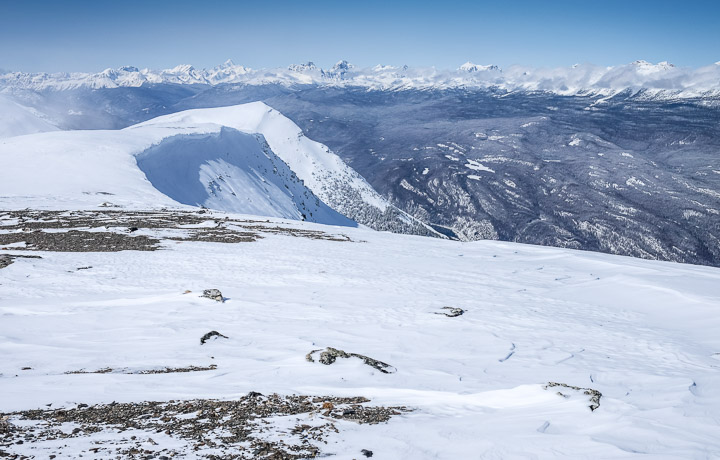
It's incredibly quiet at the summit as there was no wind. You could hear a pin drop from a mile away.
Created by: Sebastien Benoit Keywords: Jasper, Whistlers Peak
Map: 52.827, -118.132
|
|
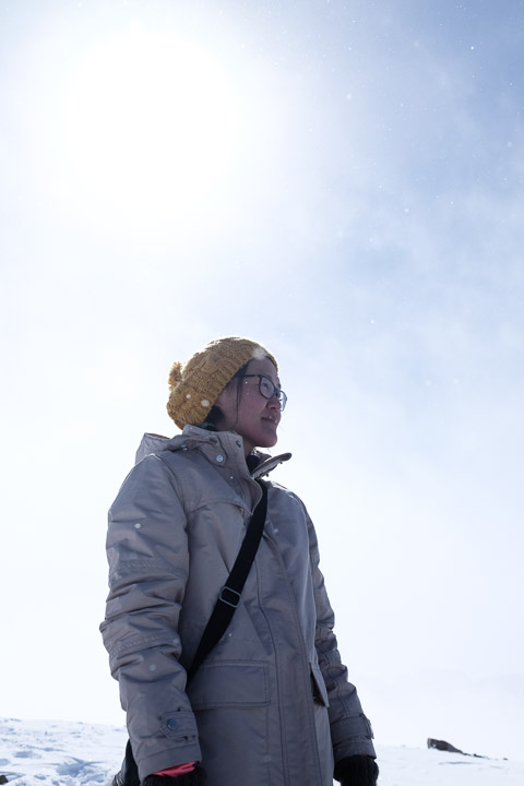
UV is everywhere, apparently; got a sunburn while on this mountain.
Created by: Sebastien Benoit Keywords: Jasper, Sejin, Whistlers Peak
Map: 52.827, -118.132
|
|
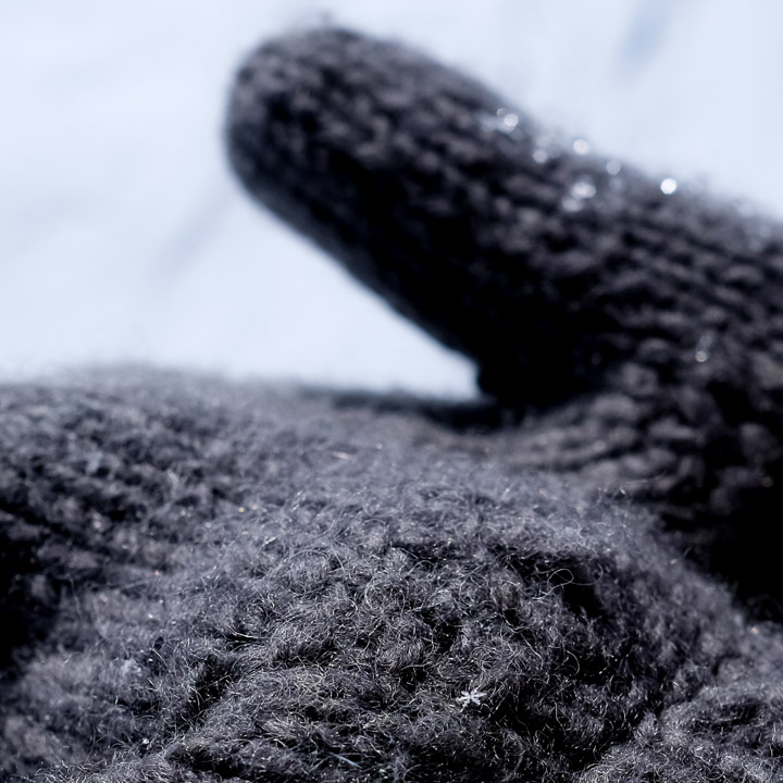
Unique snowflake.
Created by: Sebastien Benoit Keywords: Jasper, Sejin, Whistlers Peak
Map: 52.827, -118.132
|
|
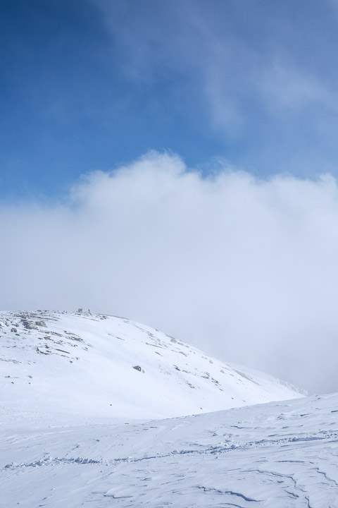
In the clouds.
Created by: Sebastien Benoit Keywords: Jasper, Whistlers Peak
Map: 52.827, -118.132
|
|
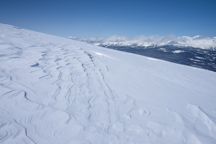
Patterns in the snow made by the wind. So many views up here are untouched by humans.
Created by: Sebastien Benoit Keywords: Jasper, Whistlers Peak
Map: 52.827, -118.132
|
|
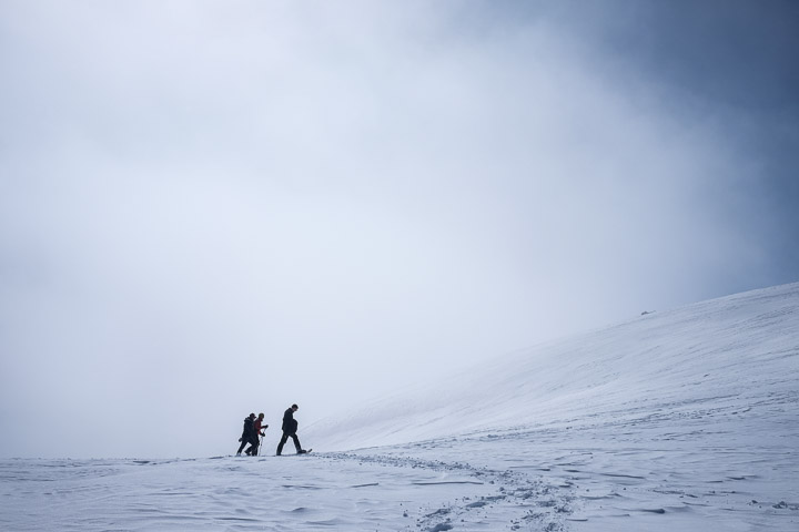
Snowshoeing to the summit in the haze of a cloud.
Created by: Sebastien Benoit Keywords: Jasper, Whistlers Peak
Map: 52.828, -118.131
|
|
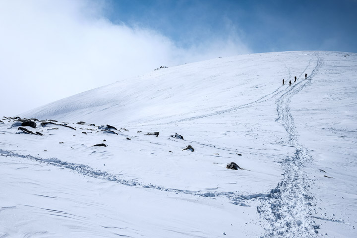
To the summit.
Created by: Sebastien Benoit Keywords: Jasper, Whistlers Peak
Map: 52.828, -118.131
|
|
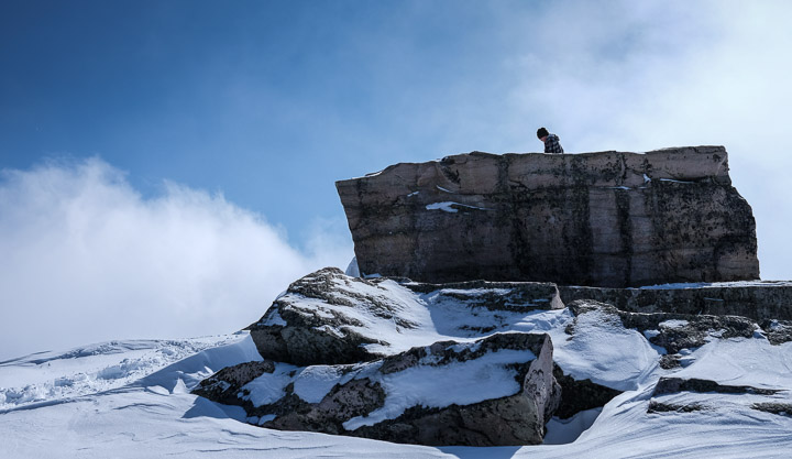
Another photogenic rock, with a kid on it.
Created by: Sebastien Benoit Keywords: Jasper, Whistlers Peak
Map: 52.828, -118.129
|
|
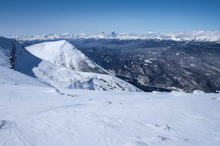
The endless view.
Created by: Sebastien Benoit Keywords: Jasper, Whistlers Peak
Map: 52.829, -118.127
|
|
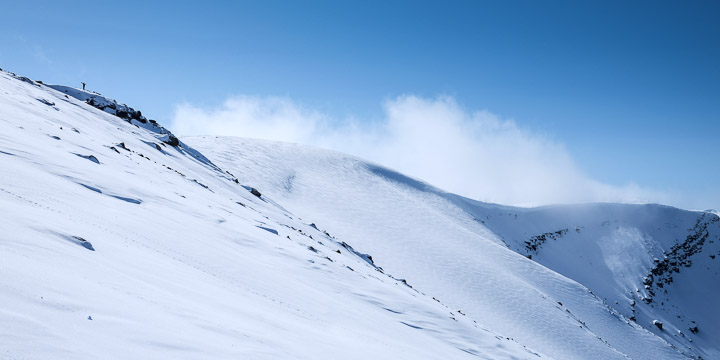
You can just barely see in the top left corner of the frame a guy is standing there in his victory pose.
Created by: Sebastien Benoit Keywords: Jasper, Whistlers Peak
Map: 52.829, -118.127
|
|
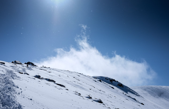
Picture perfect weather and lighting, with snowflake sprinkles.
Created by: Sebastien Benoit Keywords: Jasper, Snowflakes, Whistlers Peak
Map: 52.829, -118.127
|
|
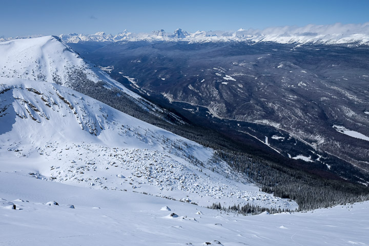
It's cool to see where the trees abruptly stop growing; the SkyTram operator said that as the elevation changes the trees grow much slower, so some may be a few centuries old while still looking young/small.
Created by: Sebastien Benoit Keywords: Jasper, Whistlers Peak
Map: 52.829, -118.127
|
|
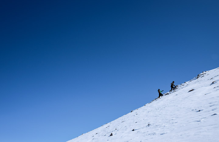
Teens taking a detour.
Created by: Sebastien Benoit Keywords: Jasper, Whistlers Peak
Map: 52.829, -118.127
|
|
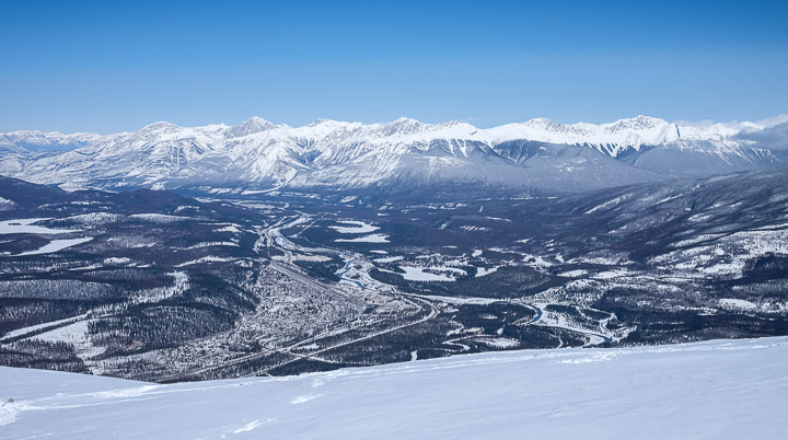
The entire Jasper Town Site, on the floor of this valley.
Created by: Sebastien Benoit Keywords: Jasper, Whistlers Peak
Map: 52.829, -118.127
|
|
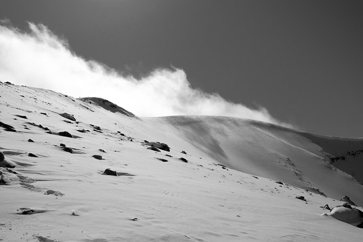
The clouds rolling up over the mountain. The snow cover isn't deep here, but the cornice on the right of the frame is probably 4-6 feet thick.
Created by: Sebastien Benoit Keywords: Jasper, Whistlers Peak
Map: 52.829, -118.127
|
|
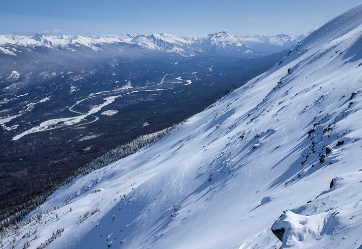
Facing South-East, showing the highway to Banff.
Created by: Sebastien Benoit Keywords: Jasper, Whistlers Peak
Map: 52.833, -118.126
|
|
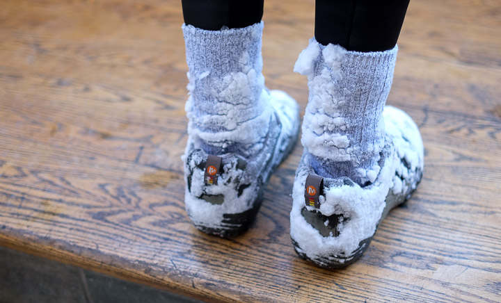
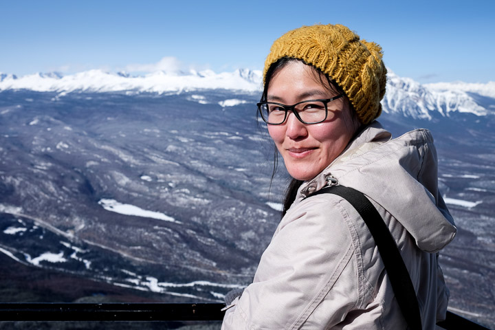
A little frosty. Breathable summer hiking shoes will do, in a pinch.
Created by: Sebastien Benoit Keywords: Jasper, Jasper SkyTram, Sejin, Whistlers Peak
Map: 52.836, -118.126
|
|
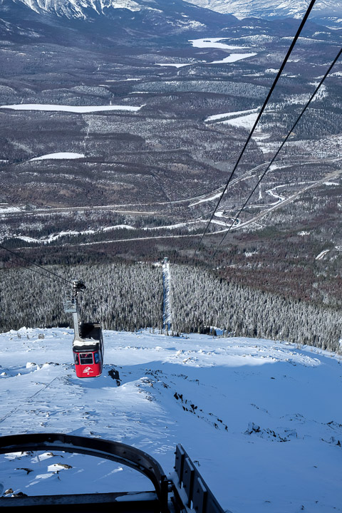
One last intake of the view before heading back down the SkyTram.
Created by: Sebastien Benoit Keywords: Jasper, Jasper SkyTram, Sejin, Whistlers Peak
Map: 52.872, -118.082
|
|
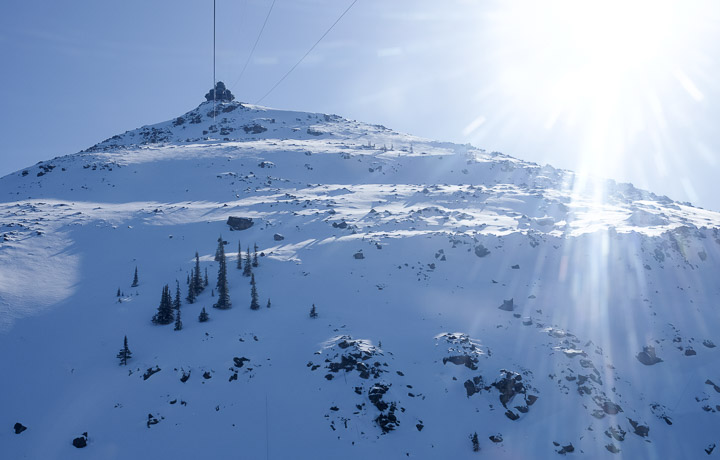
Waiting for our SkyTram.
Created by: Sebastien Benoit Keywords: Jasper, Jasper SkyTram, Whistlers Peak
Map: 52.879, -118.081
|
|
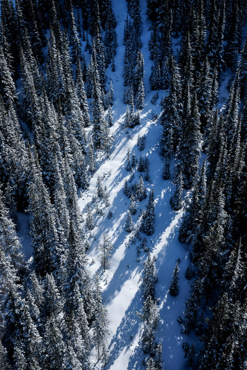
Riding the SkyTram back down to the lower terminal.
Created by: Sebastien Benoit Keywords: Jasper, Jasper SkyTram, Whistlers Peak
Map: 52.842, -118.125
|
|
I'm not sure if they keep the trees cleared below the SkyTram lines, or if there's another reason there are no trees there, but it's interesting either way.
Created by: Sebastien Benoit Keywords: Jasper, Jasper SkyTram, Whistlers Peak
Map: 52.845, -118.125
|
|
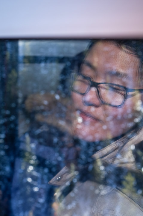
Sejin's reflection inside the SkyTram.
Created by: Sebastien Benoit Keywords: Jasper, Jasper SkyTram, Sejin, Whistlers Peak
Map: 52.849, -118.124
|
|
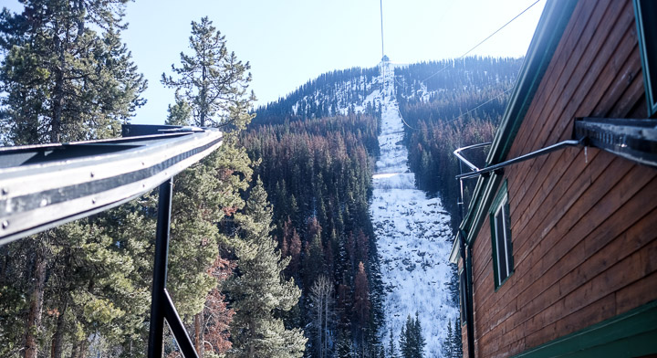
The view up from the lower SkyTram terminal.
Created by: Sebastien Benoit Keywords: Jasper, Jasper SkyTram, Whistlers Peak
Map: 52.851, -118.124
|
|
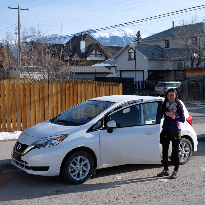
The rental. (we opted for winter tires... wise choice!) The start of our 4 hour journey south-east to see Lake Louise.
Created by: Sebastien Benoit Keywords: Jasper, Nissan Versa Note, Sejin
Map: 52.879, -118.081
|
|
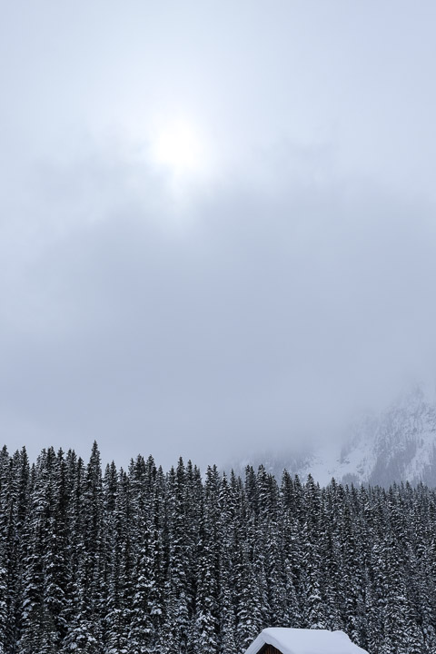
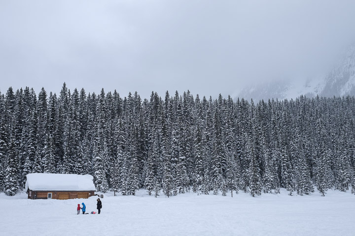
Snowy cabin roof on a cloudy day at Lake Louise.
Created by: Sebastien Benoit Keywords: Lake Louise
Map: 51.416, -116.216
|
|
I suppose this is quite a different perspective of Lake Louise from what most folks would be familiar with, but it's beautiful all the same.
Created by: Sebastien Benoit Keywords: Lake Louise
Map: 51.416, -116.217
|
|
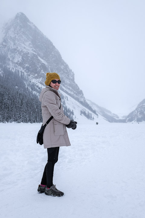
I wear my sunglasses [in snow].
Created by: Sebastien Benoit Keywords: Lake Louise, Sejin
Map: 51.416, -116.217
|
|
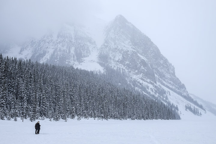
A fair view of Mount Fairview through the snow.
Created by: Sebastien Benoit Keywords: Lake Louise, Mount Fairview
Map: 51.416, -116.217
|
|
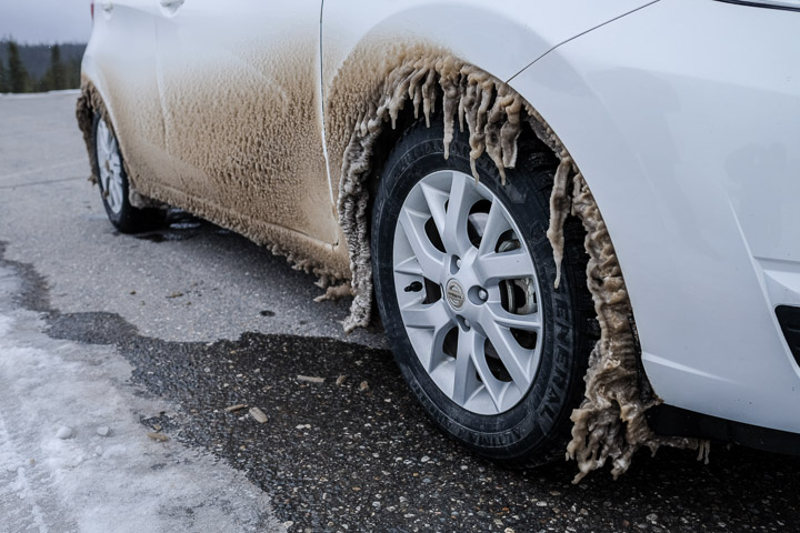
Ice covered rental car. Since they don't use road salt in this area, the ice was rock hard and would not break off.
Created by: Sebastien Benoit Keywords: Ice, Jasper National Park, Nissan Versa Note, Stutfield Glacier Viewpoint
Map: 52.273, -117.308
|
|
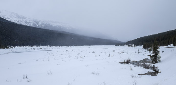
Hazy view along the highway back to Jasper.
Created by: Sebastien Benoit Keywords: Jasper National Park, Sunwapta River
Map: 52.358, -117.349
|
|
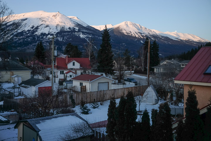
The view of Whistlers Peak at sunrise from our Airbnb. At the top left you can see the upper SkyTram terminal, and at the top right you can see the moon slipping away.
Created by: Sebastien Benoit Keywords: Jasper, Moon
Map: 52.876, -118.087
|
|
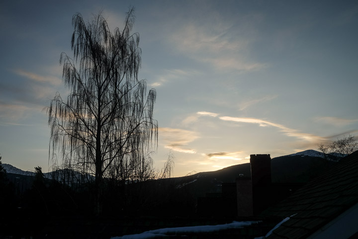
Takes a while for the sun to climb over the mountains in the morning.
Created by: Sebastien Benoit Keywords: Jasper, Sunrise
Map: 52.876, -118.087
|

|
Sejin soaking in the view of the sunrise.
Created by: Sebastien Benoit Keywords: Jasper, Sejin
Map: 52.876, -118.087
|
|
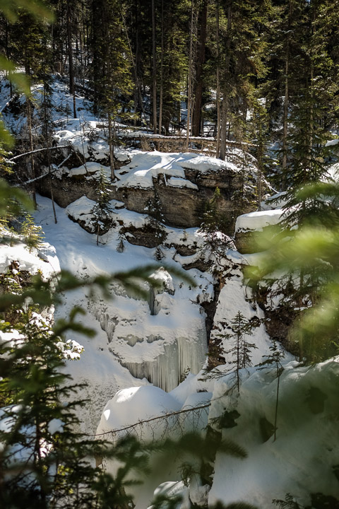
Tall ice formations. The Maligne Canyon is a deep gorge that supposedly runs pretty high after the thaw, but at this time was virtually empty, with tall ice walls like this one.
Created by: Sebastien Benoit Keywords: Ice, Jasper, Maligne Canyon
Map: 52.919, -118.006
|
|
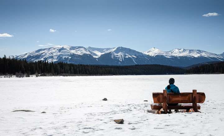
These log benches are all over Jasper; great place to enjoy your packed (Subway) lunch!
Created by: Sebastien Benoit Keywords: Jasper, Patricia Lake, Sejin
Map: 52.91, -118.092
|
|
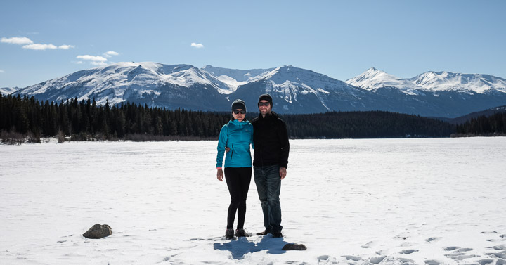
A couple of posers...
Created by: Sebastien Benoit Keywords: Jasper, Patricia Lake, Sebastien, Sejin
Map: 52.91, -118.093
|

|
A panoramic of the view of Pyramid Mountain, standing on Pyramid Lake, near Pyramid Island... I'm starting to see a theme.
Created by: Sebastien Benoit Keywords: Jasper, Pyramid Lake, Pyramid Mountain
Map: 52.924, -118.098
|
|
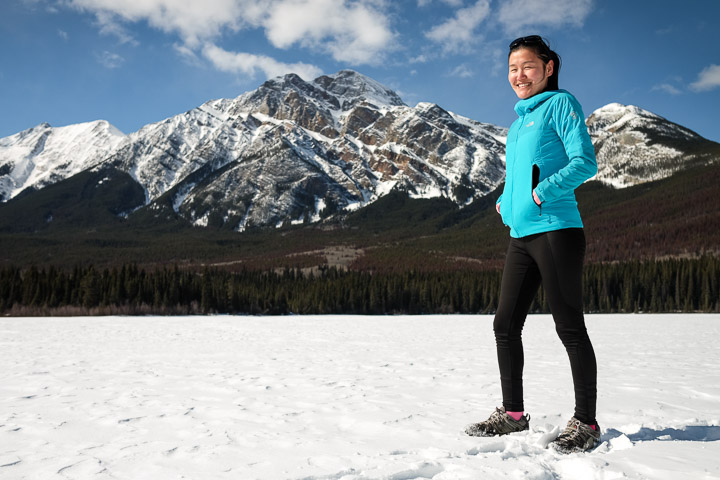
Sejin's new 'active' profile picture, haha.
Created by: Sebastien Benoit Keywords: Jasper, Pyramid Lake, Pyramid Mountain, Sejin
Map: 52.924, -118.098
|
|
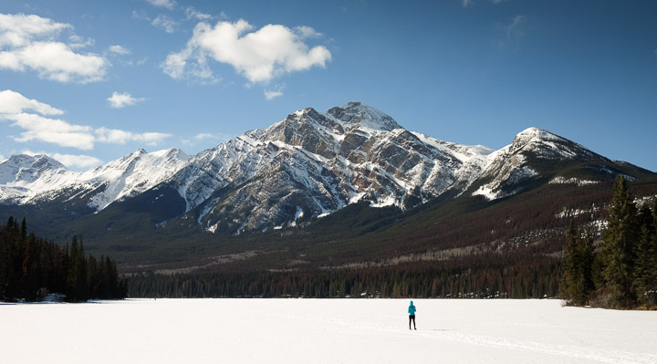
Sejin wandering towards her mountain.
Created by: Sebastien Benoit Keywords: Jasper, Pyramid Lake, Pyramid Mountain, Sejin
Map: 52.926, -118.084
|
|
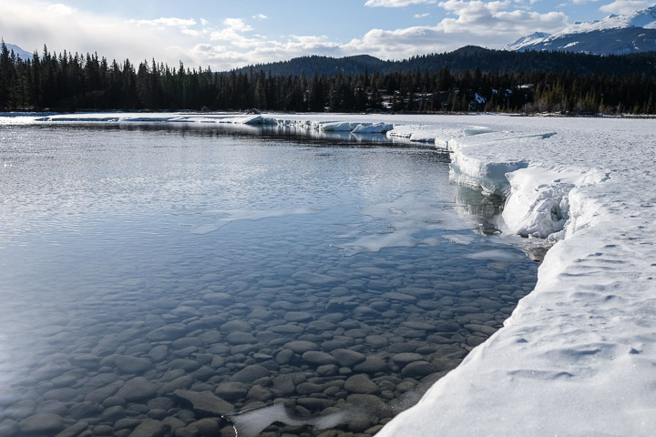
The river is probably just 6 inches deep at this point, and perfectly clear.
Created by: Sebastien Benoit Keywords: Athabasca River, Jasper
Map: 52.871, -118.064
|
|
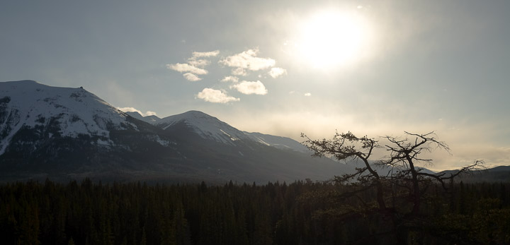
The view to the west, with Whistlers Peak at the left.
Created by: Sebastien Benoit Keywords: Jasper, Old Fort Point, Whistlers Peak
Map: 52.87, -118.062
|
|
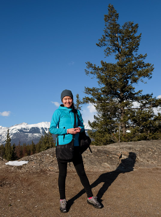
Hiking up Old Fort Point to take a peek at the view it offers, but we'll save the full hike for the next morning...
Created by: Sebastien Benoit Keywords: Jasper, Old Fort Point, Sejin
Map: 52.871, -118.062
|

|
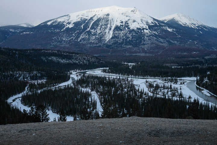
We thought coming back to Old Fort Point first thing in the morning (~7:30 AM) to catch the sunrise would be a smart thing to do, except that it was -15 degrees C (about -1,000 degrees C with the windchill), so we stood next to a cliff out of the wind and came out only briefly for a few pictures like these.
Created by: Sebastien Benoit Keywords: Athabasca River, Jasper, Old Fort Point, Pyramid Mountain, Whistlers Peak
Map: 52.869, -118.056
|
|
The Athabasca River twists through the landscape beautifully.
Created by: Sebastien Benoit Keywords: Athabasca River, Jasper, Old Fort Point, Whistlers Peak
Map: 52.869, -118.056
|
|
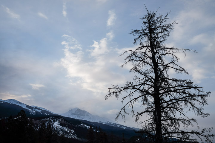
The dramatic clouds to the south.
Created by: Sebastien Benoit Keywords: Jasper, Old Fort Point
Map: 52.869, -118.056
|

|
Rock on, on rock?
Created by: Sebastien Benoit Keywords: Jasper, Old Fort Point, Sebastien, Sejin, Whistlers Peak
Map: 52.869, -118.055
|
|
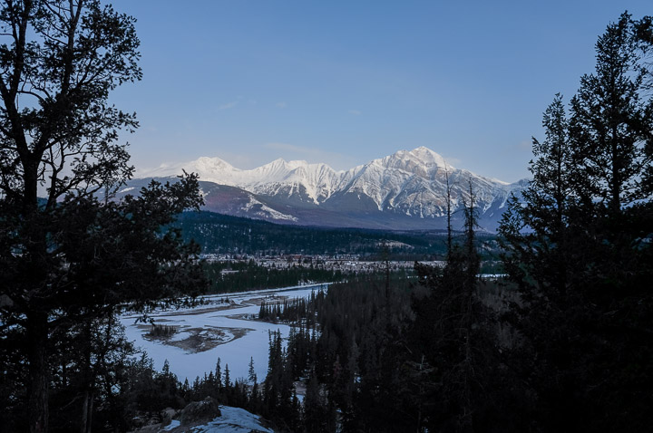
Pyramid Mountain through the trees, brushed by the sunrise.
Created by: Sebastien Benoit Keywords: Athabasca River, Jasper, Old Fort Point, Pyramid Mountain
Map: 52.87, -118.06
|
|
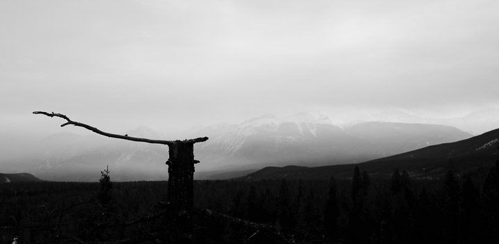
The hazy whisps view of the mountain range to the east as the sun rose.
Created by: Sebastien Benoit Keywords: Jasper, Old Fort Point
Map: 52.87, -118.061
|
|
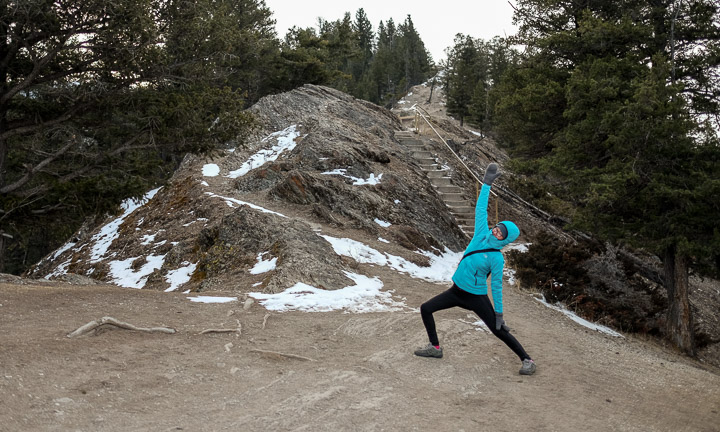
Mountain yoga.
Created by: Sebastien Benoit Keywords: Jasper, Old Fort Point, Sejin
Map: 52.871, -118.062
|
|
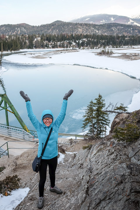
Happy to hike.
Created by: Sebastien Benoit Keywords: Athabasca River, Jasper, Old Fort Point, Sejin
Map: 52.871, -118.063
|
|
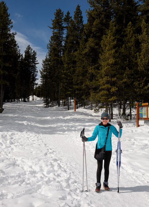
Getting ready for the cross country skiing outing.
Created by: Sebastien Benoit Keywords: Cross Country Skiing, Jasper, Maligne Lake, Sejin
Map: 52.726, -117.643
|
|
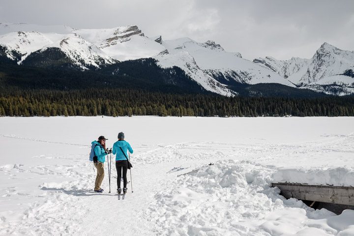
Nicole going over the essentials while the mountains overlooked. Blessed to have met such a wonderful spirit on this trip, who made an already awesome Jasper even more memorable for us <3
Created by: Sebastien Benoit Keywords: Cross Country Skiing, Jasper, Maligne Lake, Nicole, Sejin
Map: 52.726, -117.643
|
|
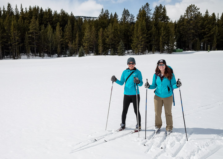
Fresh snow.
Created by: Sebastien Benoit Keywords: Cross Country Skiing, Jasper, Maligne Lake, Nicole, Sejin
Map: 52.725, -117.64
|
|
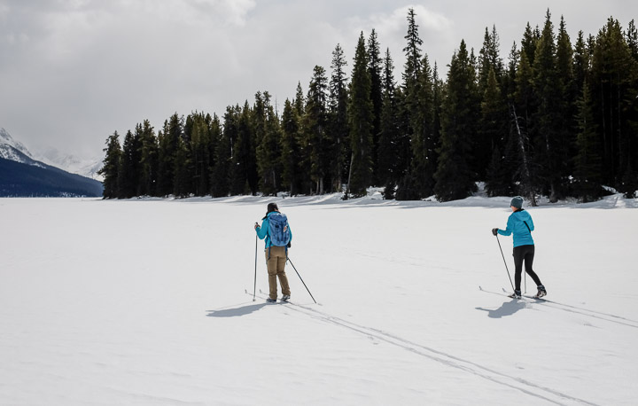
Making our own paths.
Created by: Sebastien Benoit Keywords: Cross Country Skiing, Jasper, Maligne Lake, Nicole, Sejin
Map: 52.722, -117.633
|
|
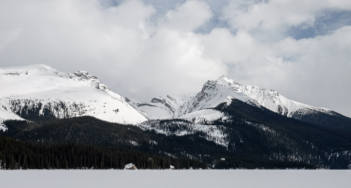
Incredible views of the mountain range.
Created by: Sebastien Benoit Keywords: Jasper, Maligne Lake
Map: 52.717, -117.624
|
|
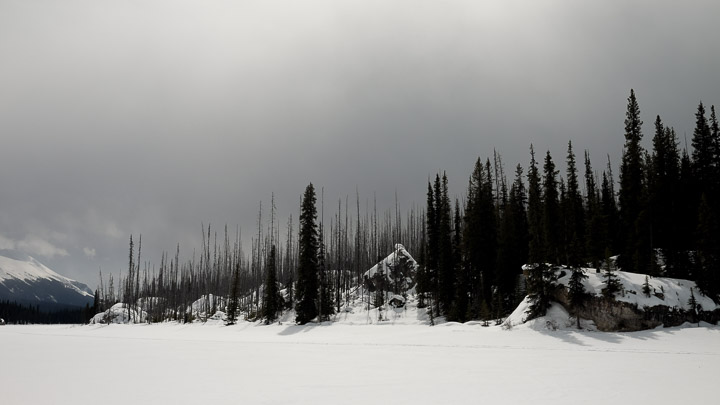
A heartbreaking view of a forest full of dead trees.
Created by: Sebastien Benoit Keywords: Jasper, Maligne Lake
Map: 52.715, -117.622
|
|
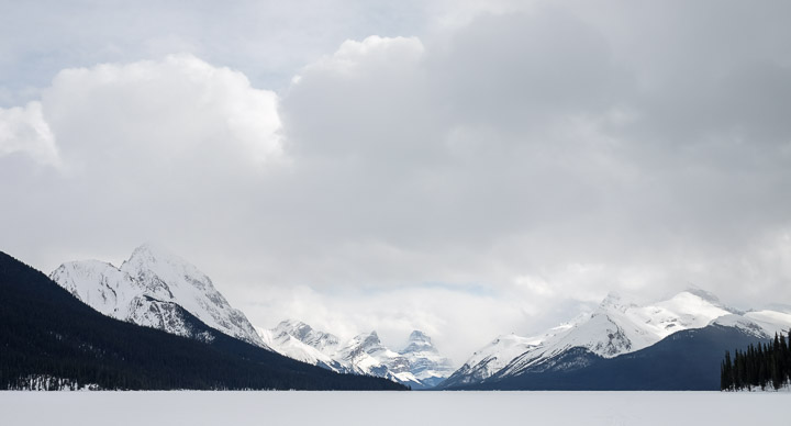
Straight down the length of Maligne Lake.
Created by: Sebastien Benoit Keywords: Jasper, Maligne Lake
Map: 52.71, -117.617
|
|
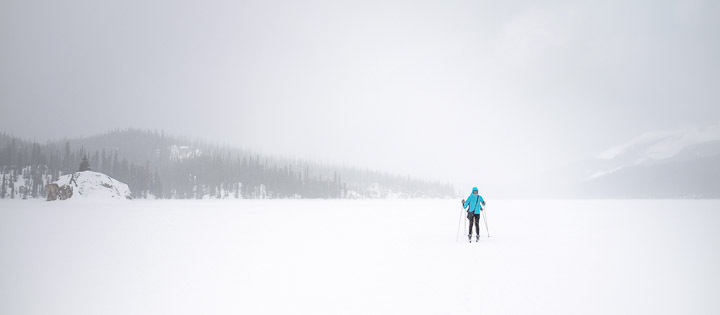
Starting to snow; the weather changes fast.
Created by: Sebastien Benoit Keywords: Cross Country Skiing, Jasper, Maligne Lake, Sejin
Map: 52.706, -117.613
|
|
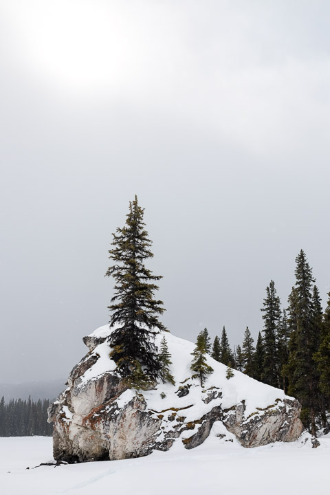
A strange place for a tree to grow.
Created by: Sebastien Benoit Keywords: Jasper, Maligne Lake
Map: 52.704, -117.612
|
|
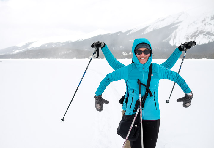
The multi-talented, multi-armed, cross country skiing machine, Nicojin.
Nice jackets, too.
Created by: Sebastien Benoit Keywords: Cross Country Skiing, Jasper, Maligne Lake, Nicole, Sejin
Map: 52.703, -117.612
|
|
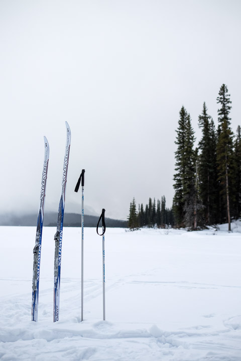
Rest stop.
Created by: Sebastien Benoit Keywords: Cross Country Skiing, Hidden Cove, Jasper, Maligne Lake
Map: 52.702, -117.613
|
|
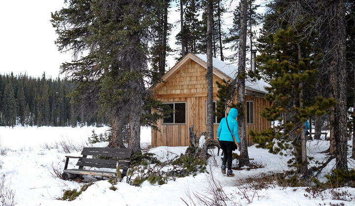
Checking out the lonely cabin tucked away in Hidden Cove.
Created by: Sebastien Benoit Keywords: Cabin, Hidden Cove, Jasper, Maligne Lake, Mike Wynn Family Paddle Camp, Sejin
Map: 52.702, -117.613
|
|
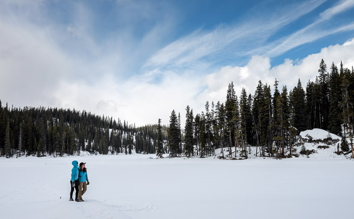
Enjoying the view.
Created by: Sebastien Benoit Keywords: Hidden Cove, Jasper, Maligne Lake, Nicole, Sejin
Map: 52.703, -117.614
|
|
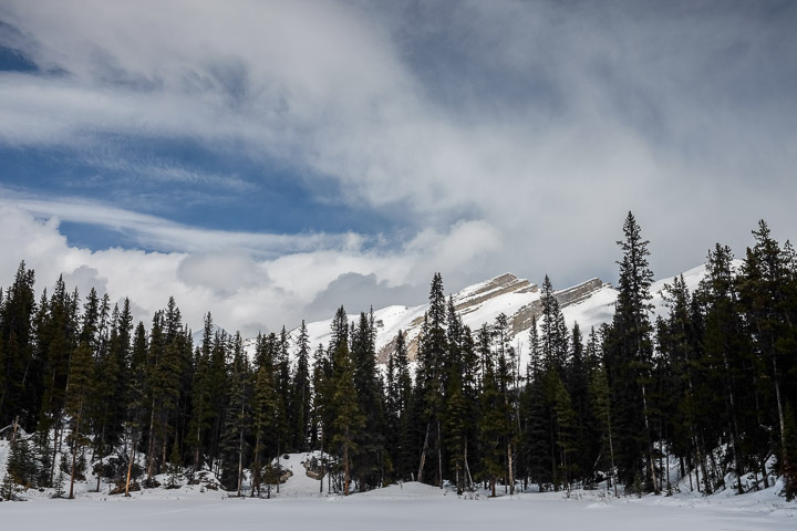
From the map, this looks to be Peak 45-36; what a fitting name.
Created by: Sebastien Benoit Keywords: Hidden Cove, Jasper, Maligne Lake
Map: 52.703, -117.614
|
|
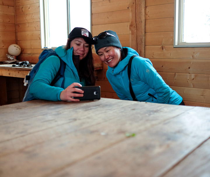
Reviewing the day's footage in the cabin.
Created by: Sebastien Benoit Keywords: Cabin, Hidden Cove, Jasper, Maligne Lake, Mike Wynn Family Paddle Camp, Nicole, Sejin
Map: 52.702, -117.614
|
|
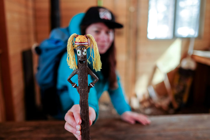
The talking stick doesn't actually talk.
Created by: Sebastien Benoit Keywords: Cabin, Hidden Cove, Jasper, Maligne Lake, Mike Wynn Family Paddle Camp, Nicole, Talking Stick
Map: 52.702, -117.614
|
|
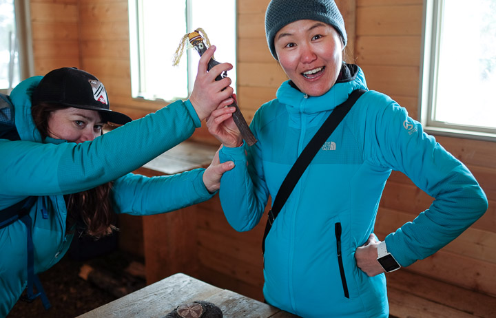
"It's my turn!"
Created by: Sebastien Benoit Keywords: Cabin, Hidden Cove, Jasper, Maligne Lake, Mike Wynn Family Paddle Camp, Nicole, Sejin, Talking Stick
Map: 52.702, -117.614
|
|
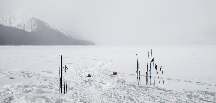
The snow is coming back.
Created by: Sebastien Benoit Keywords: Cross Country Skiing, Hidden Cove, Jasper, Maligne Lake
Map: 52.702, -117.613
|
|
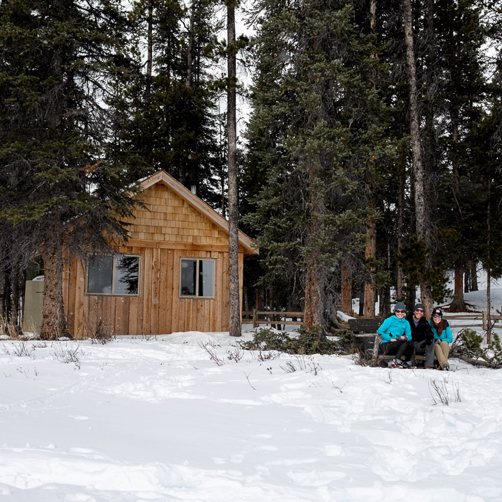
I may or may not have a pile of snow in my boots after running through the deep snow to get back to the bench within the 10 seconds the camera timer gave me. There may or may not be a video of that run.
Created by: Sebastien Benoit Keywords: Cabin, Hidden Cove, Jasper, Maligne Lake, Mike Wynn Family Paddle Camp, Nicole, Sebastien, Sejin
Map: 52.702, -117.614
|
|
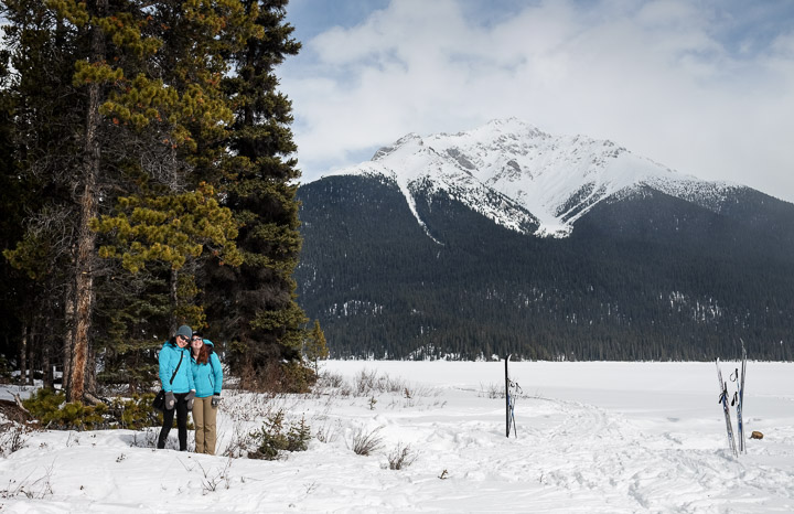
Couple Style. (Those jackets, though. Right??)
Created by: Sebastien Benoit Keywords: Cross Country Skiing, Hidden Cove, Jasper, Leah Peak, Maligne Lake, Nicole, Sejin
Map: 52.702, -117.613
|
|
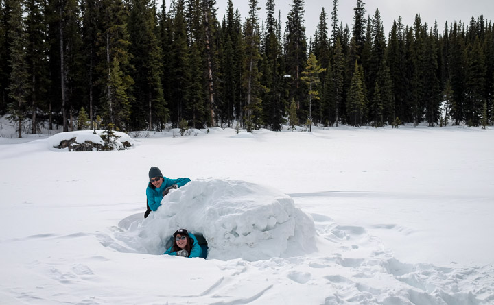
We found this quinzhee (thanks Nicole for teaching us about it!), and Sejin and Nicole took turns trying it on like a turtle shell.
Created by: Sebastien Benoit Keywords: Hidden Cove, Jasper, Maligne Lake, Nicole, Quinzhee, Sejin
Map: 52.702, -117.613
|
|
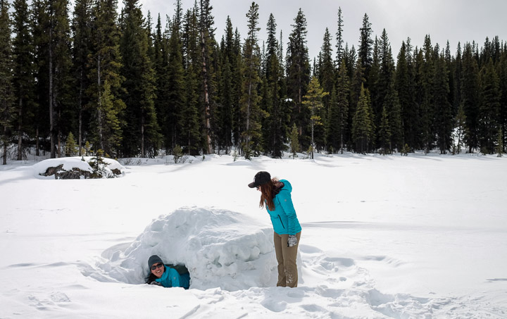
Sejin's turn.
Created by: Sebastien Benoit Keywords: Hidden Cove, Jasper, Maligne Lake, Nicole, Quinzhee, Sejin
Map: 52.702, -117.613
|
|
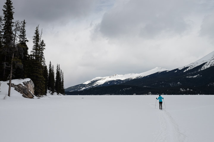
The start of the 4km+ journey back to the car.
Created by: Sebastien Benoit Keywords: Cross Country Skiing, Jasper, Maligne Lake, Sejin
Map: 52.704, -117.612
|
|
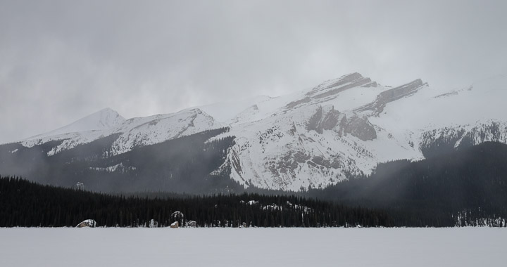
It's snowing, again.
Created by: Sebastien Benoit Keywords: Jasper, Maligne Lake
Map: 52.712, -117.619
|
|
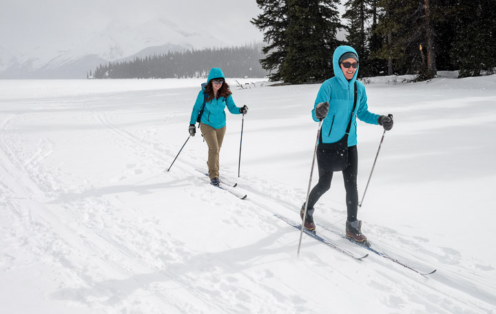
The sun is starting to peek through again, as we're getting into the groove.
Created by: Sebastien Benoit Keywords: Cross Country Skiing, Jasper, Maligne Lake, Nicole, Sejin
Map: 52.721, -117.631
|
|
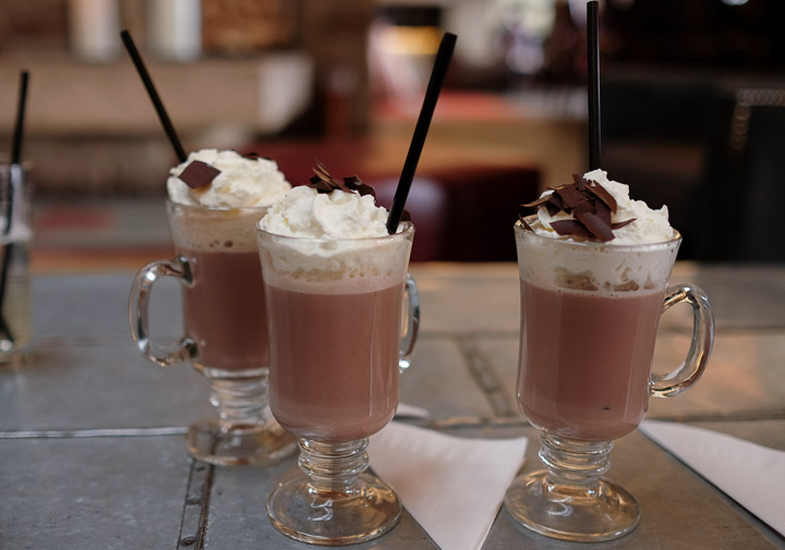
Enjoying some fantastic hot chocolate in the Fairmont after our cross country skiing outing. Nicole has all the hookups.
Created by: Sebastien Benoit Keywords: Fairmont Jasper Park Lodge, Hot Chocolate, Jasper
Map: 52.886, -118.057
|
|
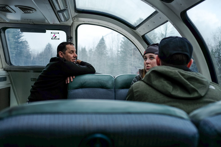
Getting some lessons from the crew.
Created by: Sebastien Benoit Keywords: Jasper to Vancouver, Observatory, Skyline dome car, Train 1, Via Rail
Map: 52.884, -118.366
|
|
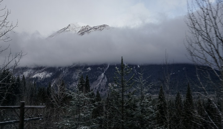
A brief glimpse of the mountains to the north, right before we crossed into British Columbia on our way out of Jasper heading towards Vancouver.
Created by: Sebastien Benoit Keywords: Jasper to Vancouver, Train 1, Via Rail
Map: 52.883, -118.427
|
|
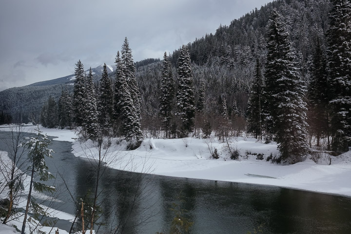
The North Thompson River flows all the way to Vancouver.
Created by: Sebastien Benoit Keywords: Jasper to Vancouver, North Thompson River, Train 1, Via Rail
Map: 52.171, -119.258
|
|
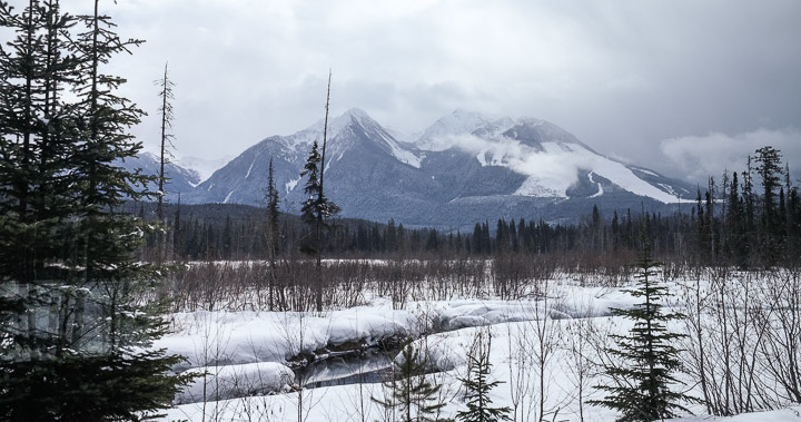
Near Mud Lake, BC. The mountan in view shows up on Google Maps as "Mud Cr".
Created by: Sebastien Benoit Keywords: Jasper to Vancouver, Train 1, Via Rail
Map: 52.151, -119.274
|
|
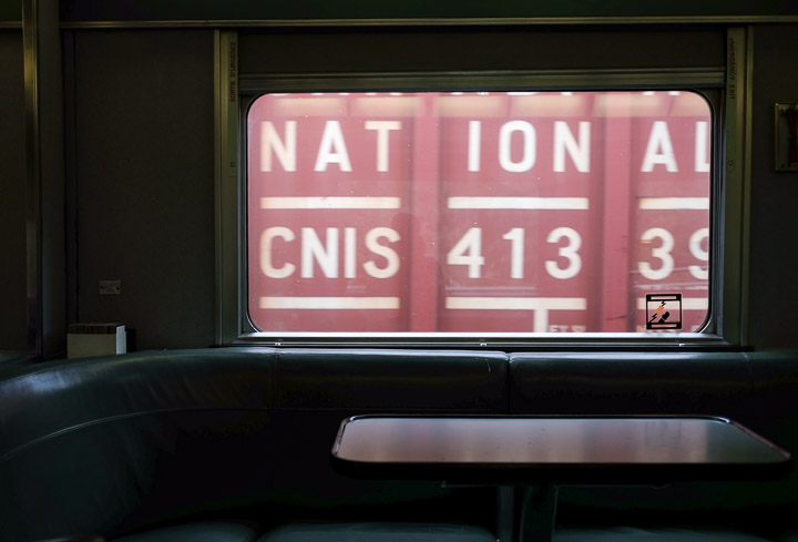
Waiting for a freight train to pass. Again.
Created by: Sebastien Benoit Keywords: Freight Train, Jasper to Vancouver, Train 1, Via Rail
Map: 52.291, -119.174
|
|
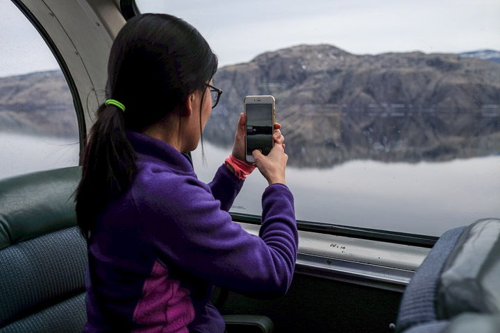
Sejin photographing the beautifully still Kamloops Lake as the train made it's way along the north side of it after leaving Kamloops.
Created by: Sebastien Benoit Keywords: Jasper to Vancouver, Kamloops Lake, Observatory, Sejin, Skyline dome car, Train 1, Via Rail
Map: 50.741, -120.613
|
|
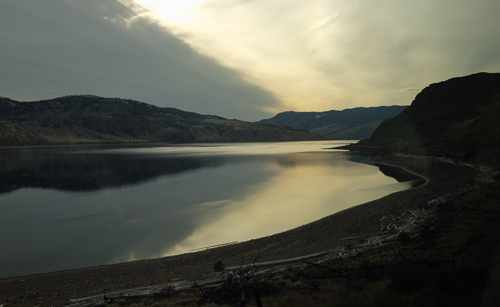
The sunset was peaceful and still.
Created by: Sebastien Benoit Keywords: Jasper to Vancouver, Kamloops Lake, Train 1, Via Rail
Map: 50.792, -120.738
|
|
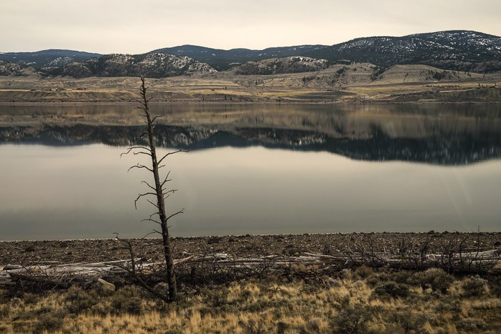
The landscape seemed so dry. It reminded me a bit of inland California.
Created by: Sebastien Benoit Keywords: Jasper to Vancouver, Kamloops Lake, Train 1, Via Rail
Map: 50.792, -120.738
|
|
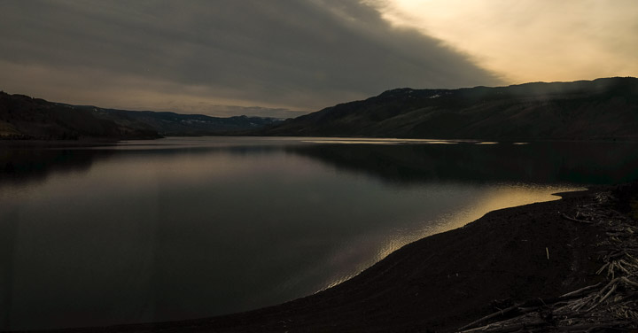
The last rays of light.
Created by: Sebastien Benoit Keywords: Jasper to Vancouver, Kamloops Lake, Train 1, Via Rail
Map: 50.792, -120.738
|
|
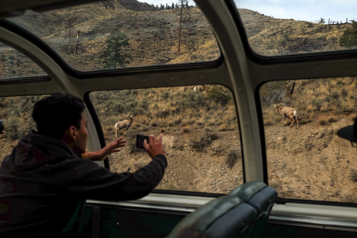
Bighorn sheep photoshoot.
Created by: Sebastien Benoit Keywords: Bighorn Sheep, Jasper to Vancouver, Observatory, Skyline dome car, Train 1, Via Rail
Map: 50.792, -120.738
|
|
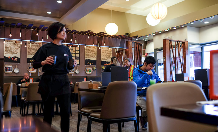
Awesome ramen at one of Bill's favourite spots.
Created by: Sebastien Benoit Keywords: Richmond, Yuu Japanese Tapas
Map: 49.186, -123.129
|
|
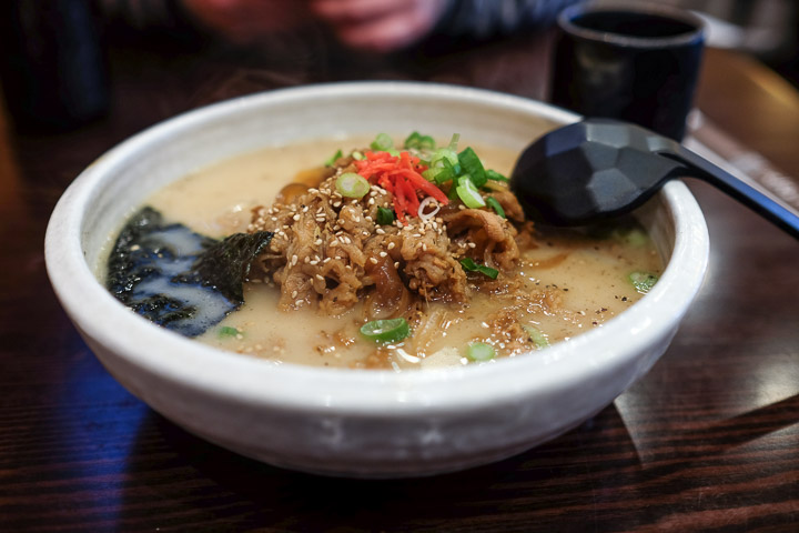
#42, "Ramen in rich black pepper garlic borth with grilled beef". A++, would eat again (turns out we did, on the way to the airport...)
Created by: Sebastien Benoit Keywords: Ramen, Richmond, Yuu Japanese Tapas
Map: 49.186, -123.129
|
|
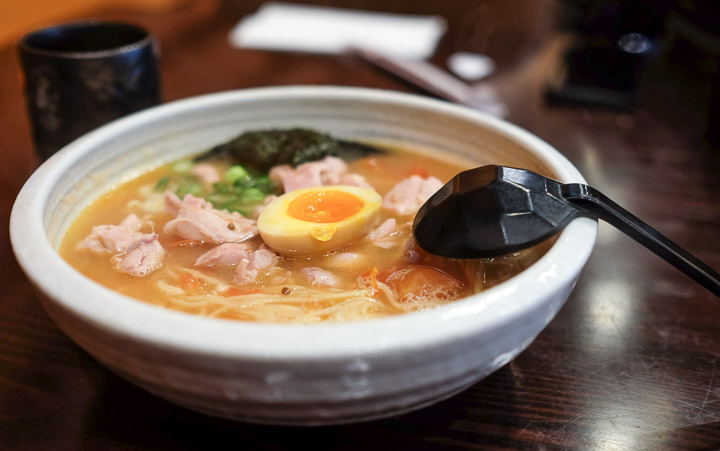
#41, "Ramen in savory tomato soup with chicken".
Created by: Sebastien Benoit Keywords: Ramen, Richmond, Yuu Japanese Tapas
Map: 49.186, -123.129
|
|
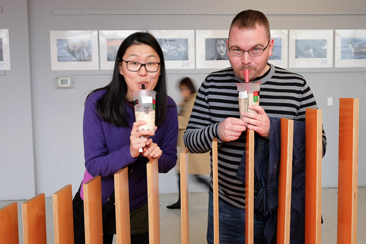
Bill, Sejin, and lots of Bubble Tea.
Created by: Sebastien Benoit Keywords: Aberdeen Centre, Bill, Richmond, Sejin
Map: 49.185, -123.135
|
|
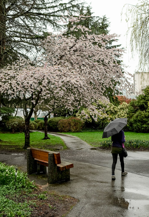
Sejin meandering through Minoru Park.
Created by: Sebastien Benoit Keywords: Cherry Blossom, Minoru Park, Richmond, Sejin
Map: 49.168, -123.144
|
|
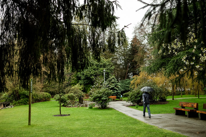
Into the park.
Created by: Sebastien Benoit Keywords: Minoru Park, Richmond
Map: 49.168, -123.145
|
|
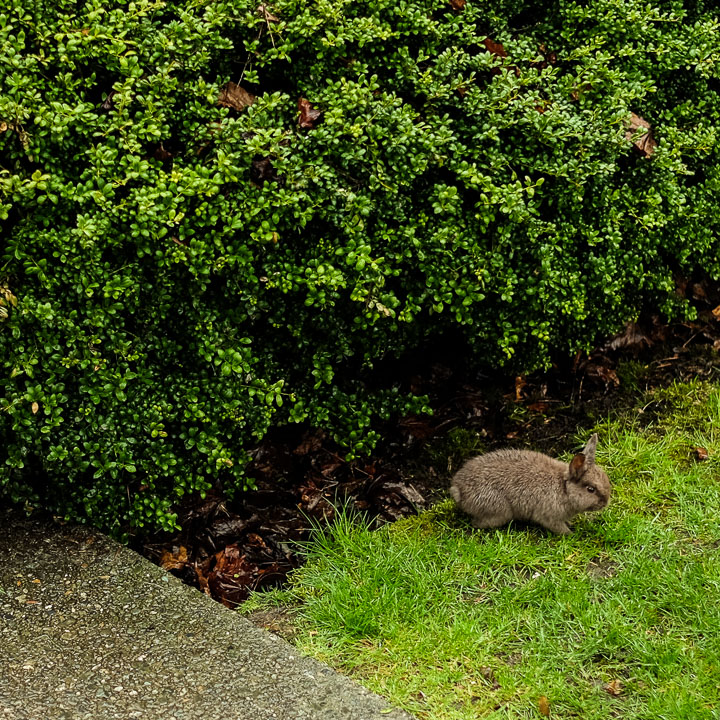
Bunnies are common in this park.
Created by: Sebastien Benoit Keywords: Minoru Park, Rabbit, Richmond
Map: 49.167, -123.146
|
|
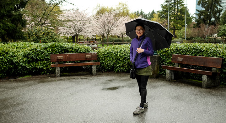
"Take a picture of me!" -Sejin, always.
Created by: Sebastien Benoit Keywords: Cherry Blossom, Minoru Park, Richmond, Sejin
Map: 49.168, -123.143
|
|
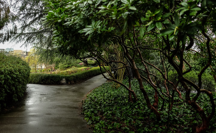
Twisty trees.
Created by: Sebastien Benoit Keywords: Minoru Park, Richmond
Map: 49.169, -123.144
|
|
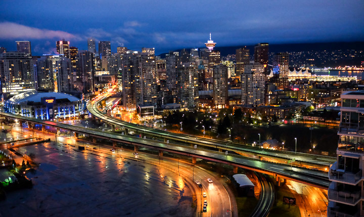
Early morning view of Vancouver from our Airbnb room.
Created by: Sebastien Benoit Keywords: Vancouver
Map: 49.275, -123.101
|
|
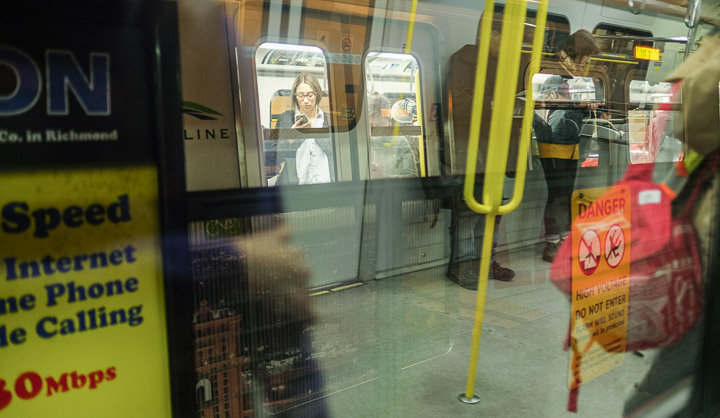
Reflections through two SkyTrains.
Created by: Sebastien Benoit Keywords: Metro, Vancouver
Map: 49.245, -123.118
|
|
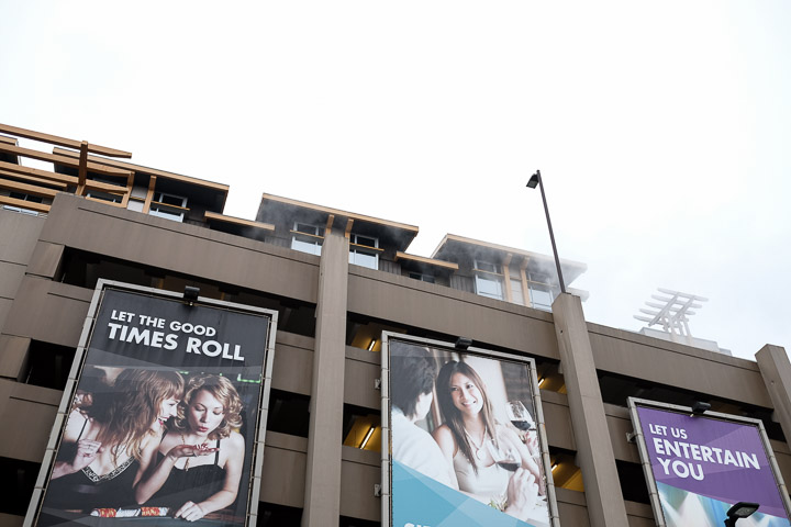
Mist.
Created by: Sebastien Benoit Keywords: Richmond
Map: 49.196, -123.126
|
|
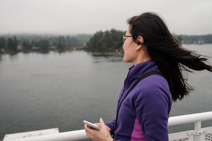
On the ferry to Swartz Bay, Vancouver Island. It's just a bit windy.
Created by: Sebastien Benoit Keywords: BC Ferries, Sejin, Tsawwassen, Swartz Bay
Map: 48.87, -123.308
|
|
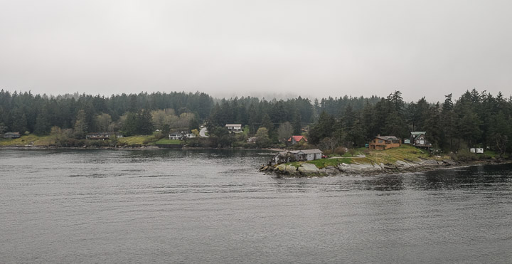
The ferry squeezes through these small islands making for some incredible views.
Created by: Sebastien Benoit Keywords: BC Ferries, Tsawwassen, Swartz Bay
Map: 48.869, -123.308
|
|
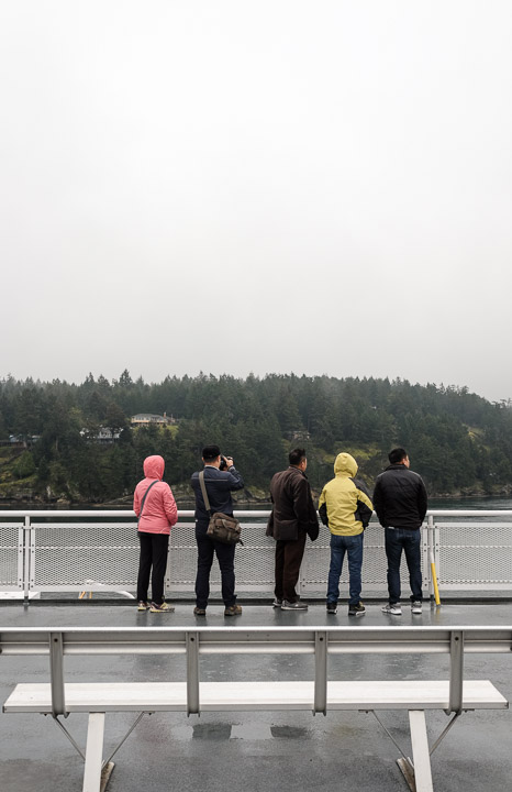
The ferry was packed with tourists, and most climbed up to the upper deck to watch the islands roll by.
Created by: Sebastien Benoit Keywords: BC Ferries, Tsawwassen, Swartz Bay
Map: 48.865, -123.31
|
|
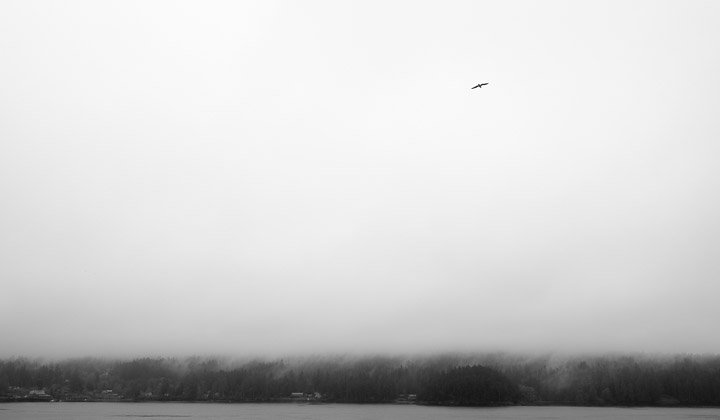
Low hanging clouds, high flying seagull.
Created by: Sebastien Benoit Keywords: BC Ferries, Tsawwassen, Swartz Bay
Map: 48.862, -123.311
|
|
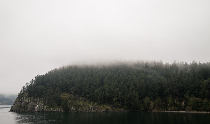
Can I buy a lot on this island?
Created by: Sebastien Benoit Keywords: BC Ferries, Tsawwassen, Swartz Bay
Map: 48.859, -123.323
|
|
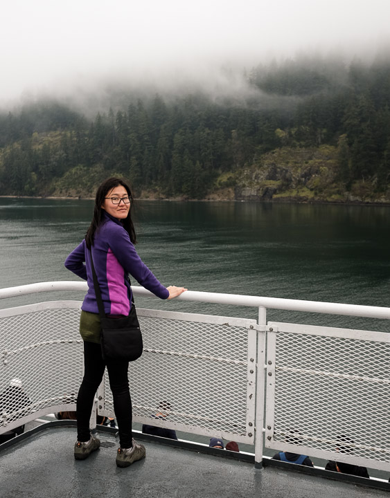
Cloud whisps.
Created by: Sebastien Benoit Keywords: BC Ferries, Sejin, Tsawwassen, Swartz Bay
Map: 48.862, -123.337
|
|
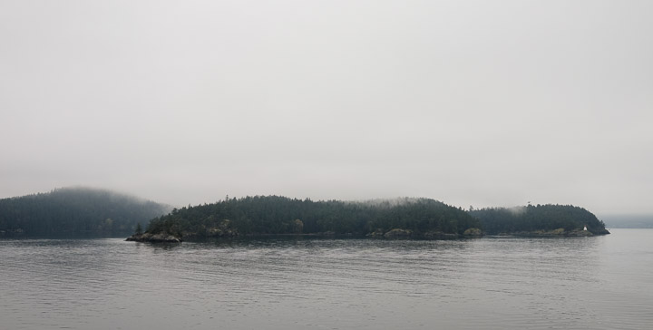
Island in a haze.
Created by: Sebastien Benoit Keywords: BC Ferries, Tsawwassen, Swartz Bay
Map: 48.817, -123.344
|
|
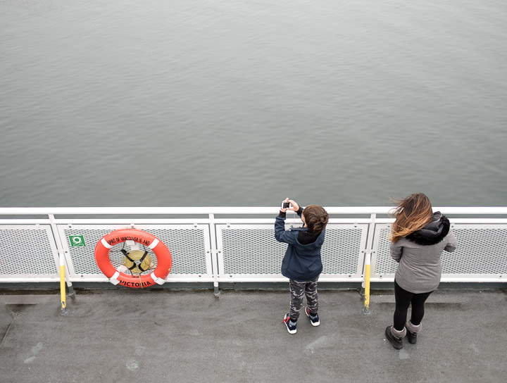
Don't drop it.
Created by: Sebastien Benoit Keywords: BC Ferries, Tsawwassen, Swartz Bay
Map: 48.806, -123.347
|
|
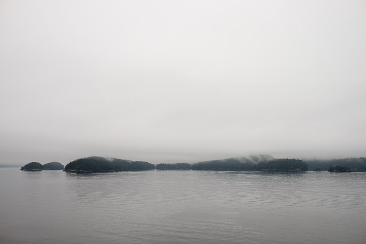
Fog.
Created by: Sebastien Benoit Keywords: BC Ferries, Tsawwassen, Swartz Bay
Map: 48.803, -123.348
|
|
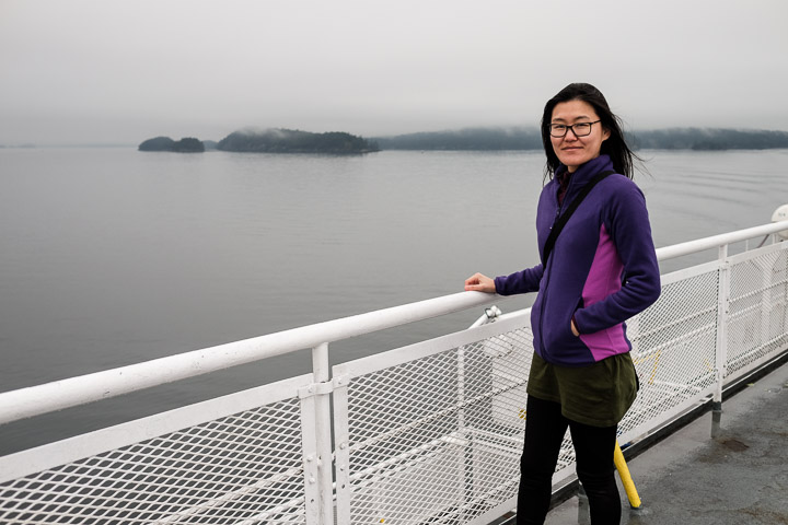
"Take [another] picture of me!" -Sejin.
Created by: Sebastien Benoit Keywords: BC Ferries, Sejin, Tsawwassen, Swartz Bay
Map: 48.796, -123.35
|
|
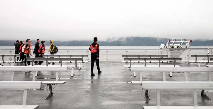
Go team!
Created by: Sebastien Benoit Keywords: BC Ferries, Tsawwassen, Swartz Bay
Map: 48.793, -123.351
|

|
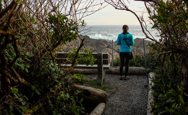
Our first outing in Ucluelet, on the Pacific coast of Vancouver Island. We were blessed with a beautiful sunset.
This trail is the Lighthouse Loop, which is part of the Wild Pacific Trail. Incredible views here.
Created by: Sebastien Benoit Keywords: Lighthouse Loop, Ucluelet, Wild Pacific Trail
Map: 48.921, -125.541
|
|
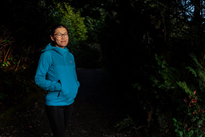
A perfect place to rest and enjoy some Jack Daniel's Tennessee Fire.
Created by: Sebastien Benoit Keywords: Lighthouse Loop, Sejin, Ucluelet, Wild Pacific Trail
Map: 48.922, -125.542
|
|
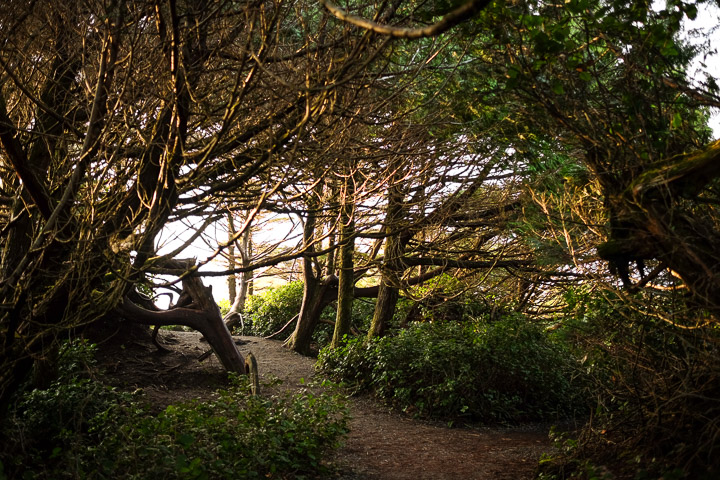
Basking in the light.
Created by: Sebastien Benoit Keywords: Lighthouse Loop, Sejin, Ucluelet, Wild Pacific Trail
Map: 48.922, -125.542
|
|
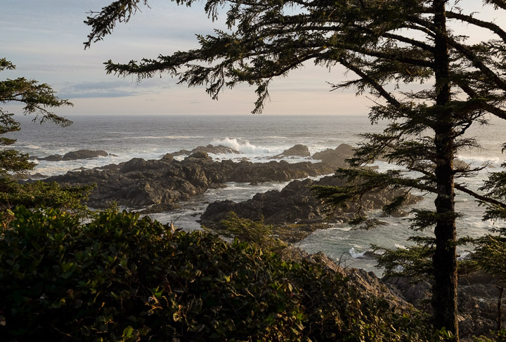
Enchanting trail.
Created by: Sebastien Benoit Keywords: Lighthouse Loop, Ucluelet, Wild Pacific Trail
Map: 48.925, -125.542
|
|
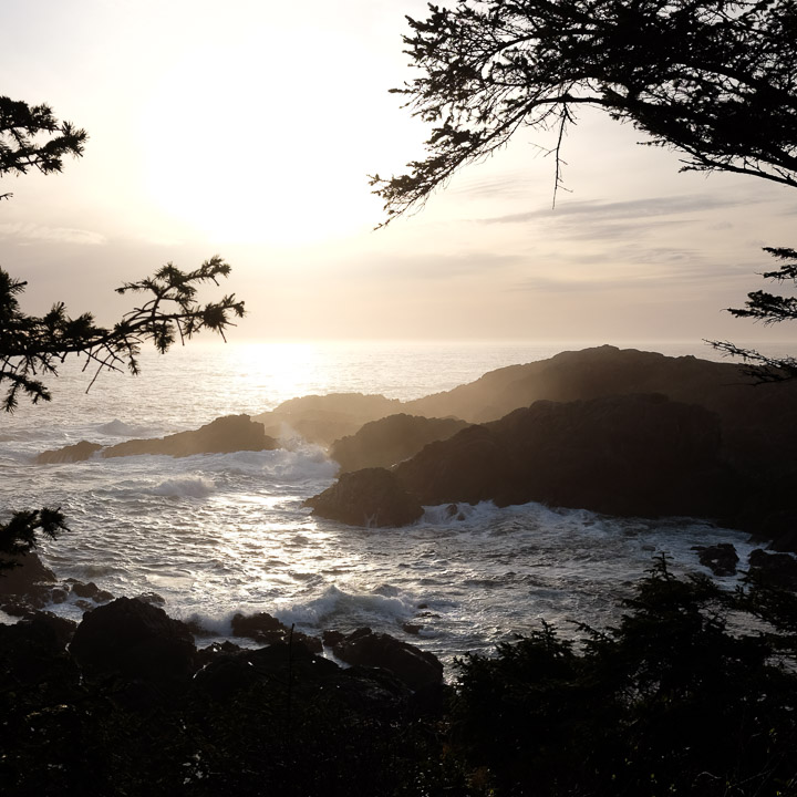
Waves. I love that every lookout offers a unique perpective of the bay.
Created by: Sebastien Benoit Keywords: Lighthouse Loop, Ucluelet, Wild Pacific Trail
Map: 48.925, -125.542
|
|
The cove through the trees.
Created by: Sebastien Benoit Keywords: Lighthouse Loop, Ucluelet, Wild Pacific Trail
Map: 48.925, -125.542
|
|
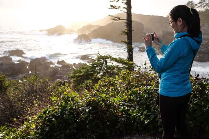
"Take a picture of me taking a picture of this!" -Sejin
Created by: Sebastien Benoit Keywords: Lighthouse Loop, Sejin, Ucluelet, Wild Pacific Trail
Map: 48.925, -125.542
|
|
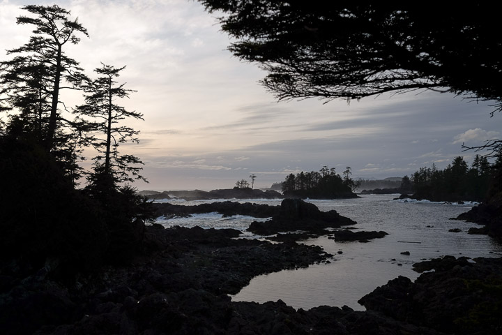
Calm inlets.
Created by: Sebastien Benoit Keywords: Lighthouse Loop, Ucluelet, Wild Pacific Trail
Map: 48.925, -125.542
|
|
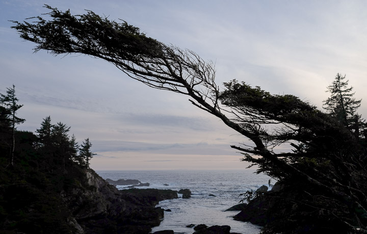
I swear it was like this when I got here.
Created by: Sebastien Benoit Keywords: Lighthouse Loop, Ucluelet, Wild Pacific Trail
Map: 48.925, -125.542
|
|
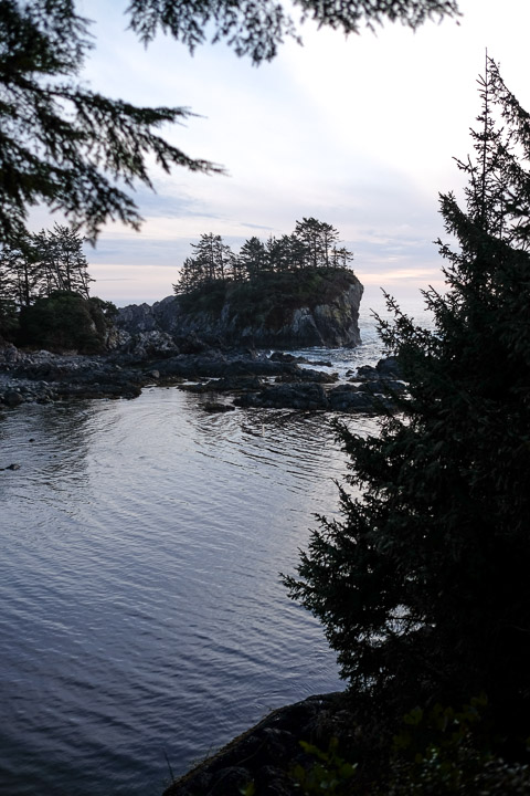
Looks like a neat spot. If we ever go back, maybe we'll hike up to there?
Created by: Sebastien Benoit Keywords: Lighthouse Loop, Ucluelet, Wild Pacific Trail
Map: 48.925, -125.542
|
|
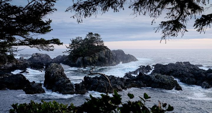
Same rock; now it doesn't look that easy to get to...
Created by: Sebastien Benoit Keywords: Lighthouse Loop, Ucluelet, Wild Pacific Trail
Map: 48.925, -125.542
|
|
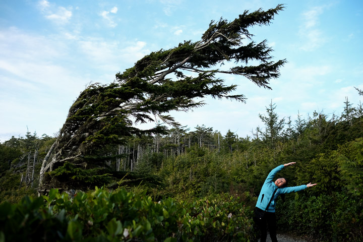
Why are the trees like this?
Why is the Sejin like this?
Created by: Sebastien Benoit Keywords: Lighthouse Loop, Sejin, Ucluelet, Wild Pacific Trail
Map: 48.925, -125.542
|
|
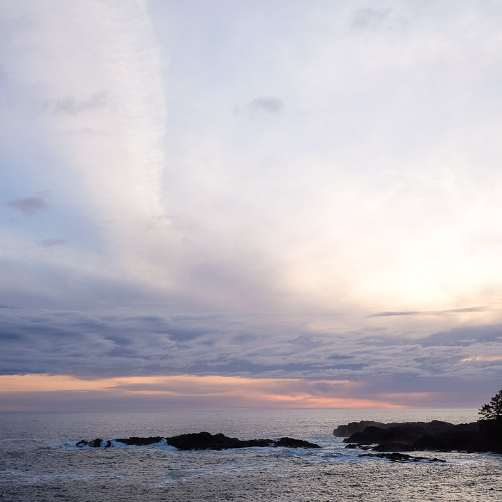
Endless view.
Created by: Sebastien Benoit Keywords: Lighthouse Loop, Ucluelet, Wild Pacific Trail
Map: 48.925, -125.542
|

|
Peek-a-boo, through the tree I see you.
Created by: Sebastien Benoit Keywords: Lighthouse Loop, Sejin, Ucluelet, Wild Pacific Trail
Map: 48.925, -125.542
|
|
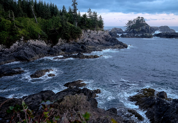
Facing south towards the start of the trail.
Created by: Sebastien Benoit Keywords: Lighthouse Loop, Ucluelet, Wild Pacific Trail
Map: 48.925, -125.542
|
|
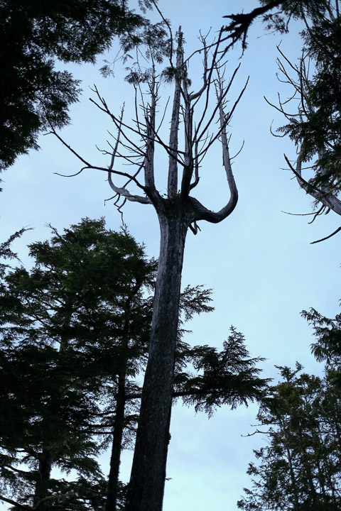
Trident tree.
Created by: Sebastien Benoit Keywords: Lighthouse Loop, Ucluelet, Wild Pacific Trail
Map: 48.925, -125.542
|

|
Probably talking with Jungmi :)
Created by: Sebastien Benoit Keywords: Sejin, Ucluelet
Map: 48.936, -125.543
|
|
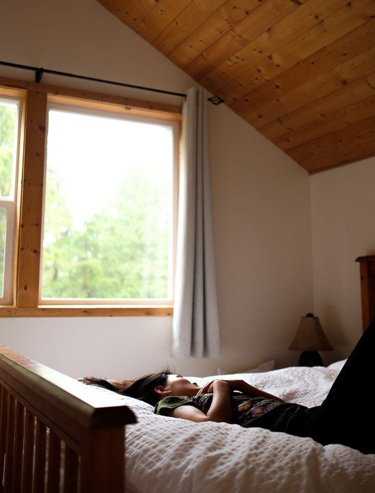
Sejin and I really enjoyed this Airbnb. It was a loft above a garage and had everything we needed and more. The view was of the tips of cedar trees all around, and all of the furniture was made by hand by one of the hosts, Caleb.
Created by: Sebastien Benoit Keywords: Sejin, Ucluelet
Map: 48.936, -125.543
|
|
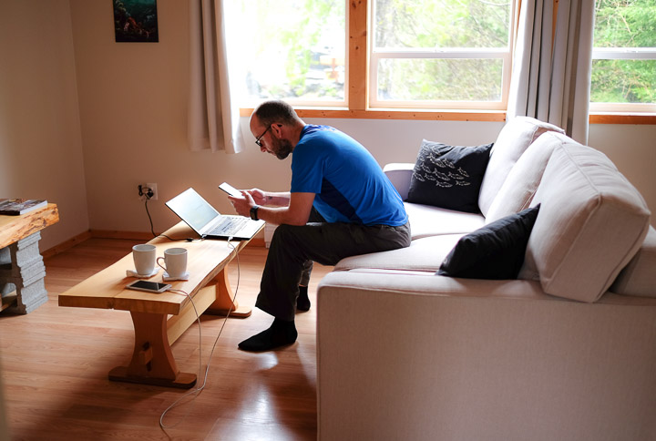
"Can I take a picture of you?" -Sejin
Created by: Sejin Jang Keywords: Sebastien, Ucluelet
Map: 48.936, -125.543
|
|
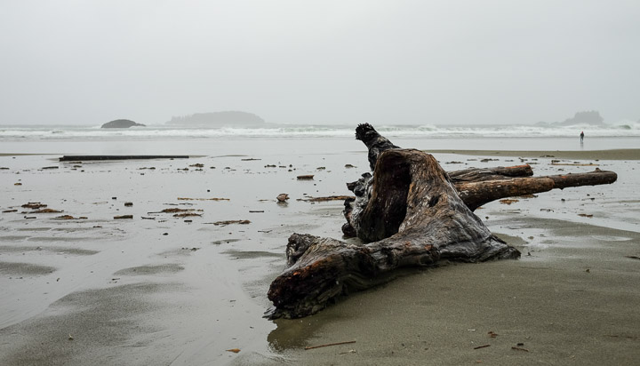
Visiting one of the beaches in Tofino, on a cold rainy day.
Created by: Sebastien Benoit Keywords: Chesterman Beach, Tofino
Map: 49.119, -125.894
|
|
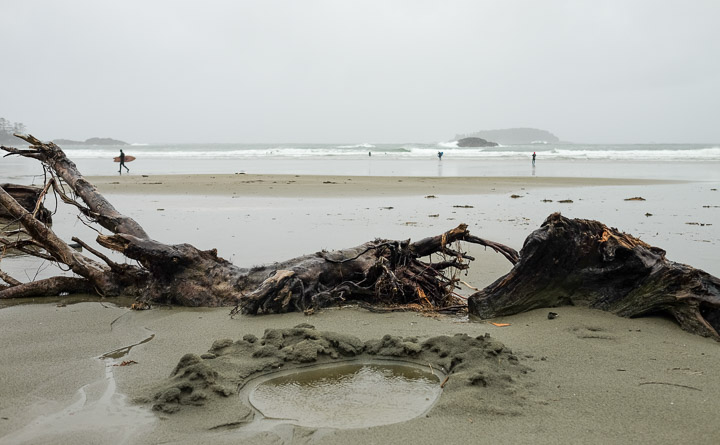
Lots of drift wood.
Created by: Sebastien Benoit Keywords: Chesterman Beach, Tofino
Map: 49.118, -125.894
|
|
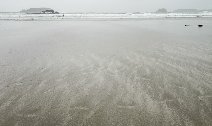
Waves in the sand.
Created by: Sebastien Benoit Keywords: Chesterman Beach, Tofino
Map: 49.118, -125.894
|
|
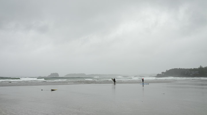
Waves.
Created by: Sebastien Benoit Keywords: Chesterman Beach, Surfing, Tofino
Map: 49.118, -125.894
|
|
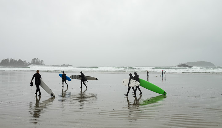
The cold and rainy weather didn't keep the surfers from heading out to catch a few 4-6ft waves, though.
Created by: Sebastien Benoit Keywords: Chesterman Beach, Surfing, Tofino
Map: 49.118, -125.894
|
|
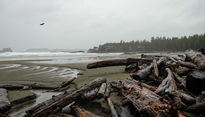
Drift wood muster point.
Created by: Sebastien Benoit Keywords: Chesterman Beach, Drift Wood, Tofino
Map: 49.12, -125.894
|
|
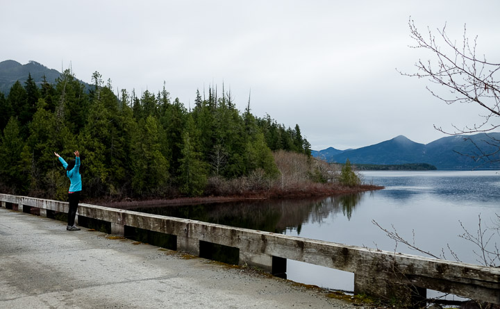
Sejin picked a spot on the map to drive to, thinking we would be able to hike up Angora Ridge. We were pleasantly surprised by the view leading up to it.
Created by: Sebastien Benoit Keywords: Kennedy Lake, Sejin, Wooden Bridge
Map: 49.095, -125.603
|

|
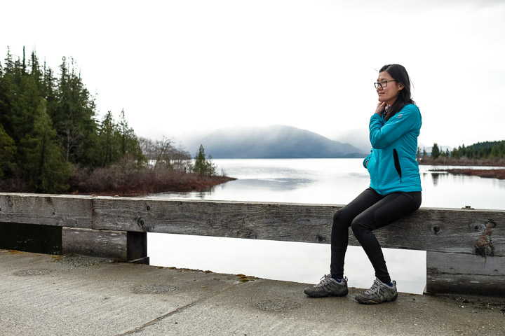
This bridge crosses Kennedy River, which is fed from Kennedy lake on the right of this panoramic.
Created by: Sebastien Benoit Keywords: Kennedy Lake, Sejin, Wooden Bridge
Map: 49.095, -125.603
|
|
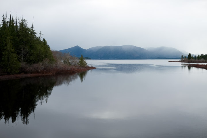
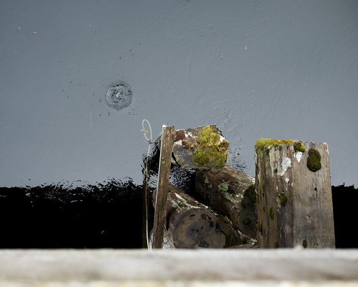
Perfectly still air over this lake in the early morning.
Created by: Sebastien Benoit Keywords: Kennedy Lake
Map: 49.095, -125.603
|
|
Ripple effect.
Created by: Sebastien Benoit Keywords: Kennedy Lake, Wooden Bridge
Map: 49.095, -125.602
|
|
"Take a picture of me!" -Sejin
Created by: Sebastien Benoit Keywords: Kennedy Lake, Sejin, Wooden Bridge
Map: 49.095, -125.603
|
|
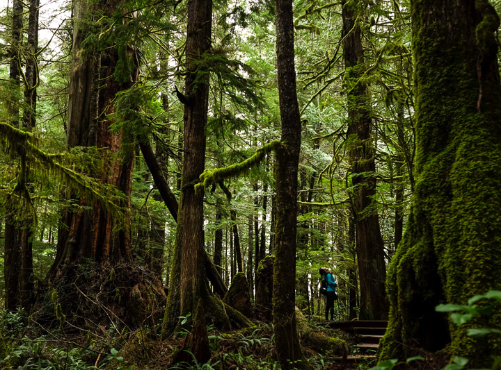
Just between the two bridges, there's a short trail through this small park of cedar trees. We weren't able to find the name of this park.
Created by: Sebastien Benoit Keywords: Trail near Kennedy Lake
Map: 49.095, -125.596
|
|
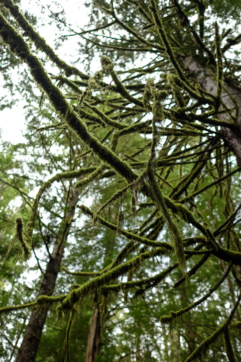
Moss covered everything in this forest.
Created by: Sebastien Benoit Keywords: Trail near Kennedy Lake
Map: 49.095, -125.596
|
|
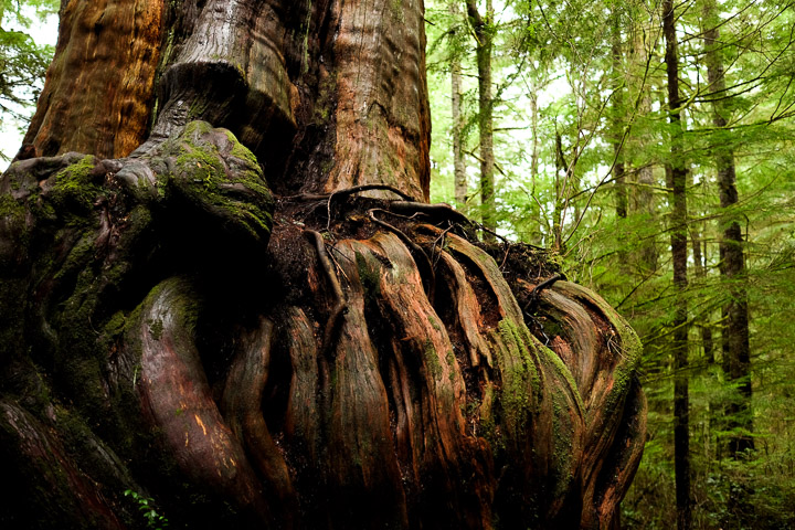
It's hard to appreciate the size of this tree base, but it's probably 10 feet accross at the curling roots. Unfortunately, this tree has died, and all that's left is about 30 feet of stump.
Created by: Sebastien Benoit Keywords: Cedar, Roots, Trail near Kennedy Lake
Map: 49.095, -125.596
|
|
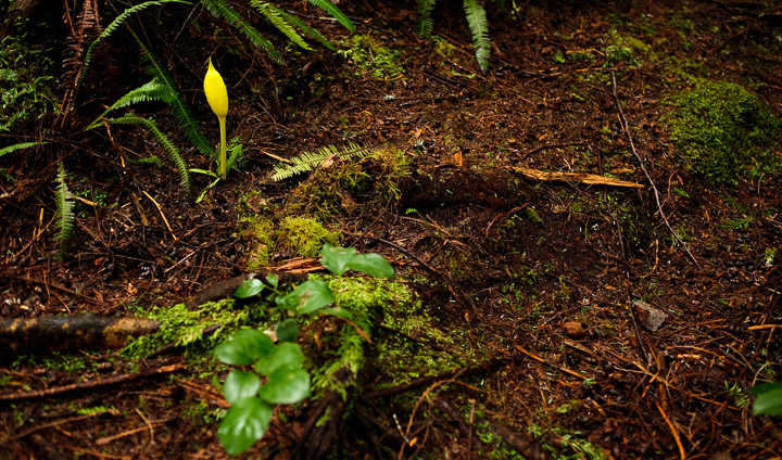
These little yellow flowers popped up from time to time on the forest floor. A speck of bright colour in the shade of these giant trees.
Created by: Sebastien Benoit Keywords: Trail near Kennedy Lake
Map: 49.095, -125.595
|
|
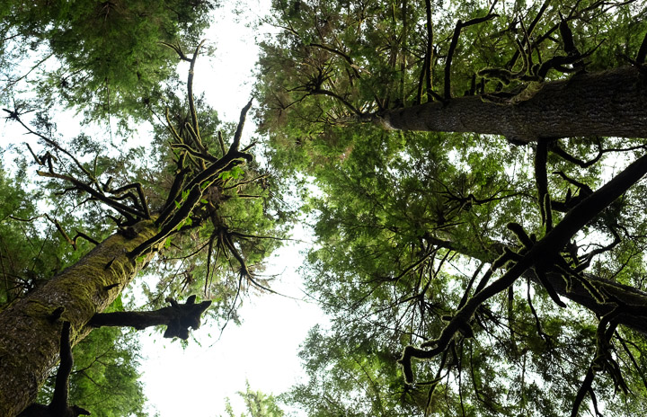
The canopy.
Created by: Sebastien Benoit Keywords: Trail near Kennedy Lake
Map: 49.095, -125.595
|
|
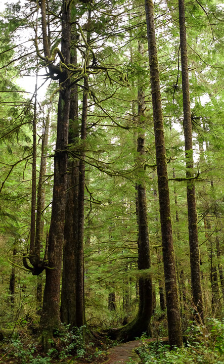
Tree redirection.
Created by: Sebastien Benoit Keywords: Trail near Kennedy Lake
Map: 49.095, -125.595
|
|
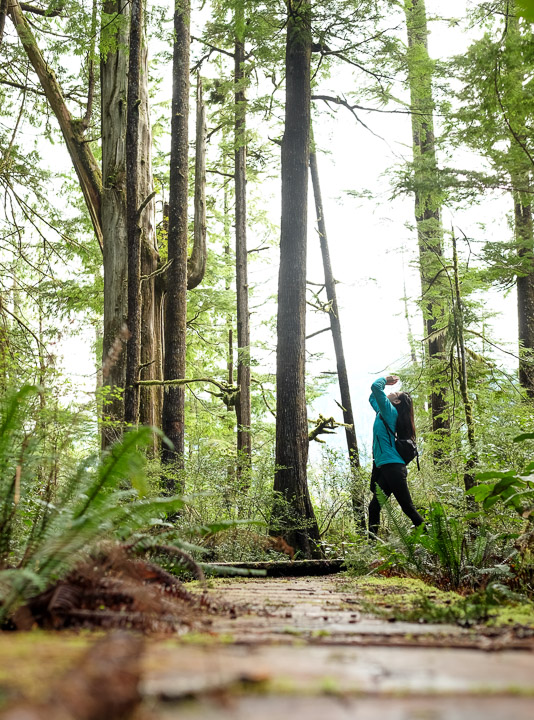
We look up to these trees, as they have wisdom.
Created by: Sebastien Benoit Keywords: Sejin, Trail near Kennedy Lake
Map: 49.095, -125.594
|
|
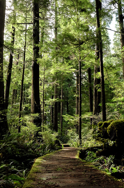
Solitude.
Created by: Sebastien Benoit Keywords: Trail near Kennedy Lake
Map: 49.095, -125.593
|
|
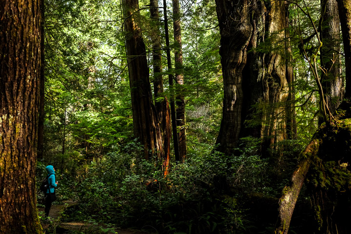
There wasn't a single other person here while we wandered through the trails, so we could take the time to appreciate the enormity of some of these magestic trees.
Created by: Sebastien Benoit Keywords: Sejin, Trail near Kennedy Lake
Map: 49.095, -125.593
|
|
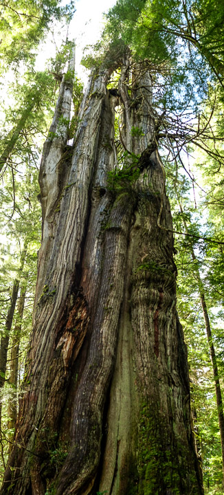
Vertical panoramic of another broken old tree, this one probably 6 feet wide.
Created by: Sebastien Benoit Keywords: Trail near Kennedy Lake
Map: 49.096, -125.593
|
|
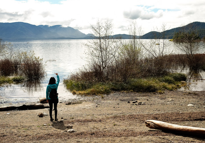
Pointing out where the car is (not) parked.
Created by: Sebastien Benoit Keywords: Kennedy Lake, Sejin
Map: 49.097, -125.591
|
|
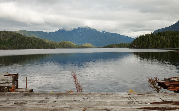
Looking north from the second bridge over Lake Kennedy.
Created by: Sebastien Benoit Keywords: Kennedy Lake, Wooden Bridge
Map: 49.097, -125.588
|
|
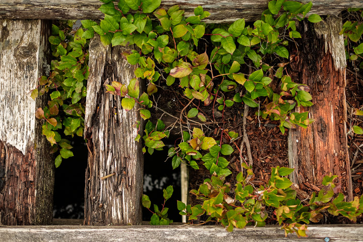
The bridge could use a bit of work, but the new growth from the old wood is fascinating.
Created by: Sebastien Benoit Keywords: Kennedy Lake, Wooden Bridge
Map: 49.097, -125.588
|
|
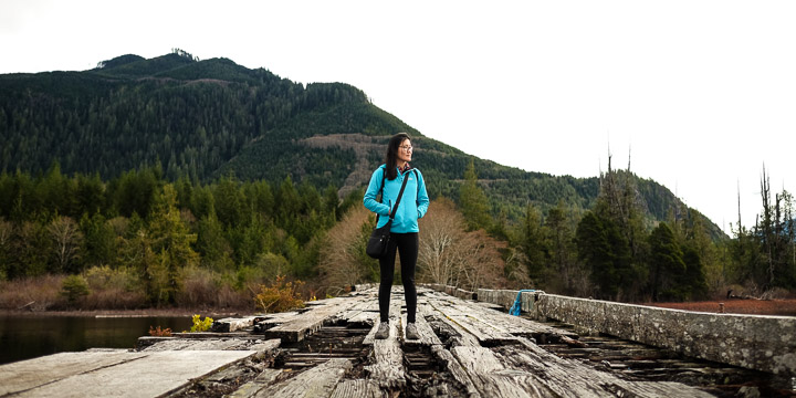
Watch your step.
Created by: Sebastien Benoit Keywords: Kennedy Lake, Sejin, Wooden Bridge
Map: 49.097, -125.588
|
|
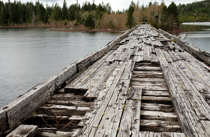
Questionable standards.
Created by: Sebastien Benoit Keywords: Kennedy Lake, Wooden Bridge
Map: 49.097, -125.586
|
|
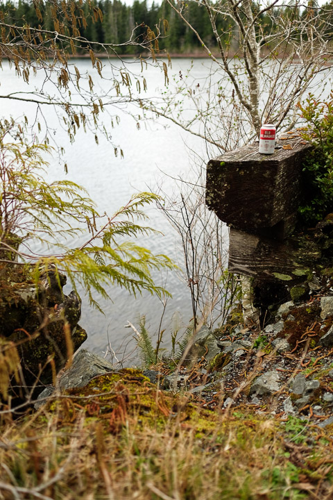
Old Milwaukee beer. Thanks, campers.
Created by: Sebastien Benoit Keywords: Kennedy Lake, Wooden Bridge
Map: 49.097, -125.587
|
|
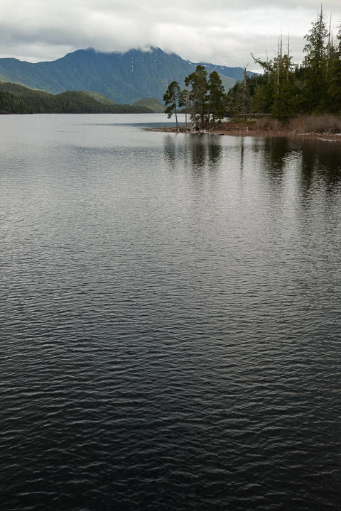
Gentle ripples.
Created by: Sebastien Benoit Keywords: Kennedy Lake
Map: 49.097, -125.587
|
|
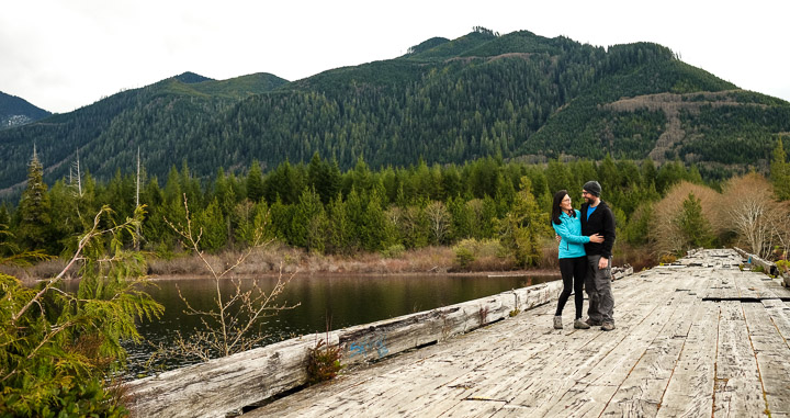
Totally candid, I promise.
Created by: Sebastien Benoit Keywords: Kennedy Lake, Sebastien, Sejin, Wooden Bridge
Map: 49.097, -125.589
|
|
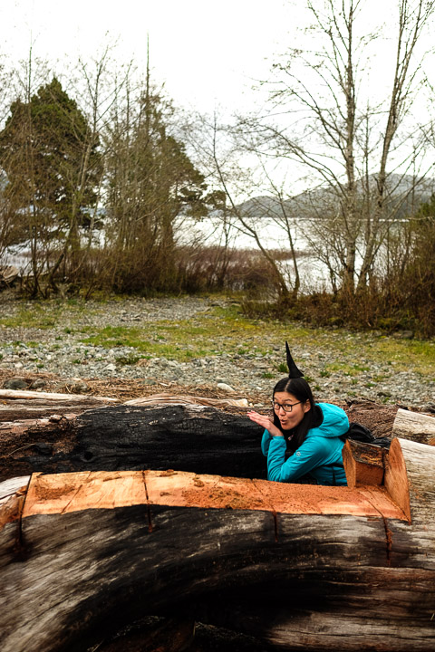
Shark fin Sejin.
Created by: Sebastien Benoit Keywords: Kennedy Lake, Sejin
Map: 49.097, -125.589
|
|
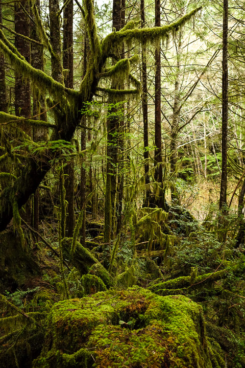
Old growth.
Created by: Sebastien Benoit Keywords: Moss
Map: 49.096, -125.596
|
|
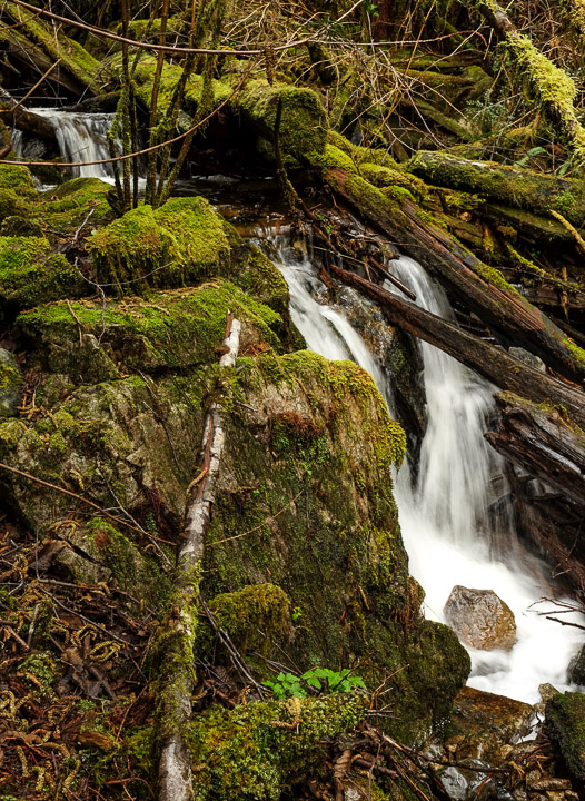
Mini-falls.
Created by: Sebastien Benoit
Map: 49.134, -125.618
|
|
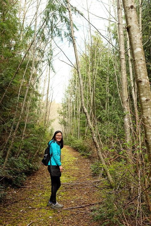
We found another trail that follows the west edge of Muriel Lake.
Created by: Sebastien Benoit Keywords: Sejin
Map: 49.135, -125.618
|
|
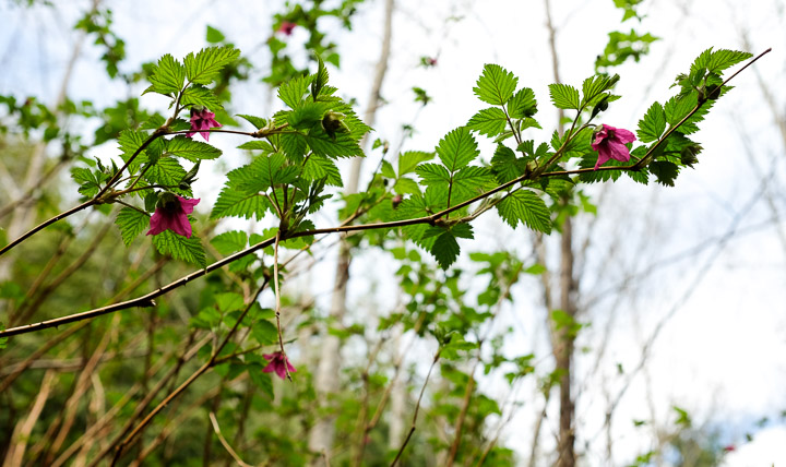
Surprises blooming.
Created by: Sebastien Benoit Keywords: Blossoms
Map: 49.135, -125.618
|
|
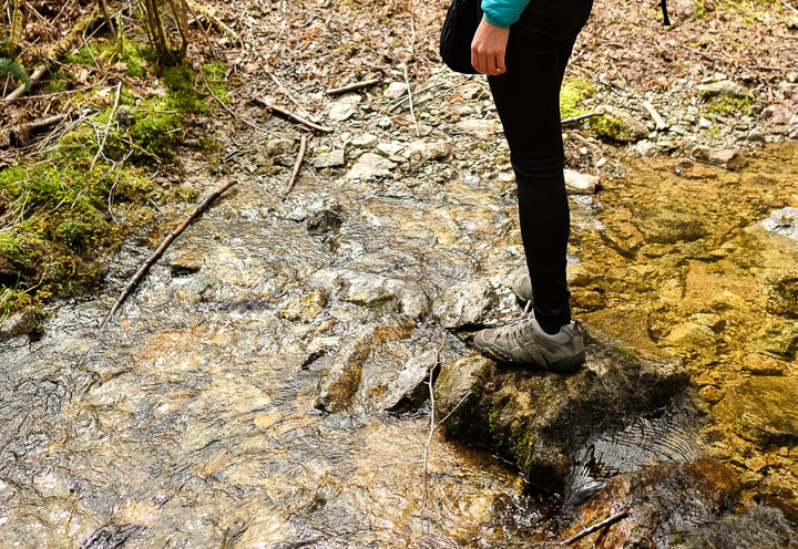
Puddle jumper.
Created by: Sebastien Benoit Keywords: Sejin
Map: 49.136, -125.618
|
|
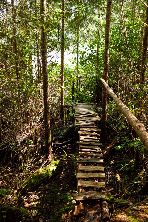
The ricketty walkway to the hidden cabin.
Created by: Sebastien Benoit Keywords: Muriel Lake
Map: 49.134, -125.618
|
|
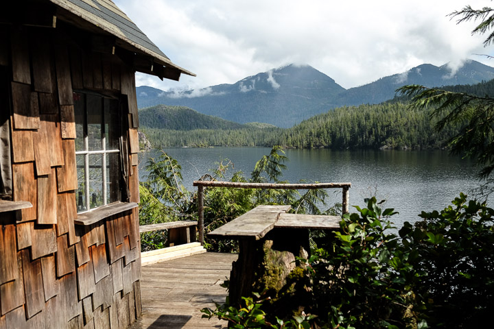
We had no idea this cabin was here; the view from it is stunning. We later learned that it was built by locals for their own enjoyment, but there was a summer that some squatters took over and didn't want to leave.
Created by: Sebastien Benoit Keywords: Cabin, Hidden, Muriel Lake
Map: 49.134, -125.618
|
|
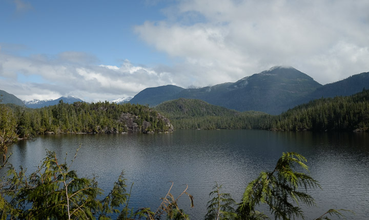
The view from the hidden cabin.
Created by: Sebastien Benoit Keywords: Muriel Lake
Map: 49.134, -125.617
|
|
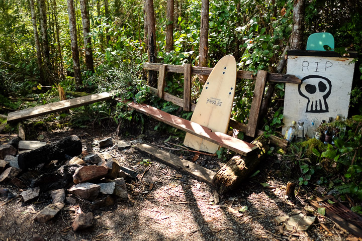
The cabin's fire pit.
Created by: Sebastien Benoit Keywords: Muriel Lake
Map: 49.134, -125.618
|
|
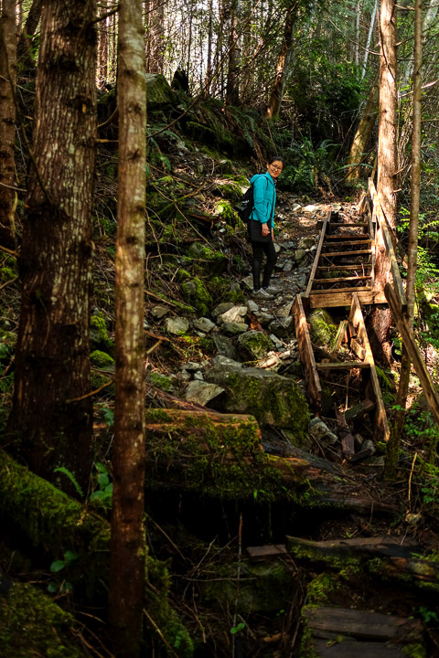
The walkway back up to the trail from the cabin. Probably safest not to use that staircase.
Created by: Sebastien Benoit Keywords: Muriel Lake, Sejin
Map: 49.134, -125.618
|
|
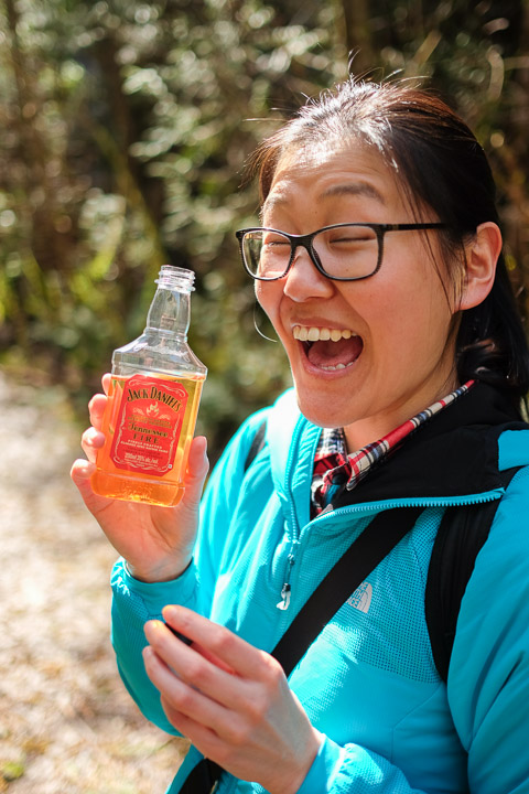
Time for a little boost!
Created by: Sebastien Benoit Keywords: Jack Daniel's Tennessee Fire, Sejin
Map: 49.134, -125.618
|
|
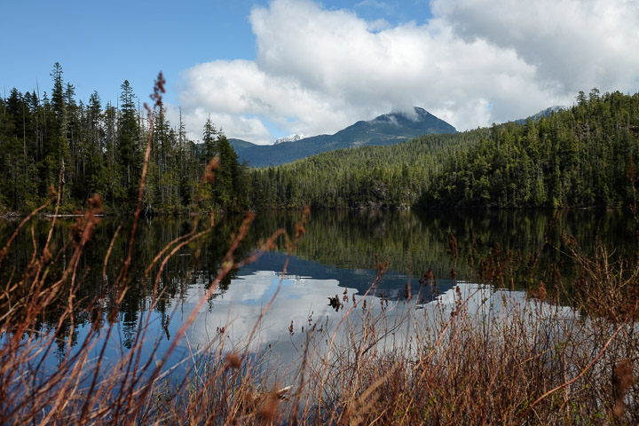
Peaceful.
Created by: Sebastien Benoit Keywords: Muriel Lake
Map: 49.127, -125.62
|
|
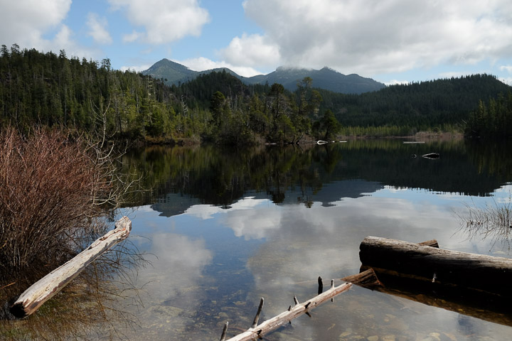
The view from an old boat launch at Muriel Lake.
Created by: Sebastien Benoit Keywords: Muriel Lake
Map: 49.127, -125.62
|
|
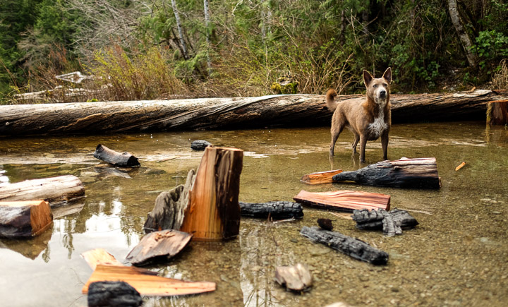
Wilson taking a break from playing fetch to appreciate all of his sticks.
Created by: Sebastien Benoit Keywords: Muriel Lake, Wilson
Map: 49.127, -125.62
|
|
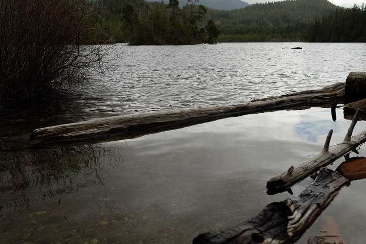
Nature's breakwater.
Created by: Sebastien Benoit Keywords: Muriel Lake
Map: 49.127, -125.62
|
|
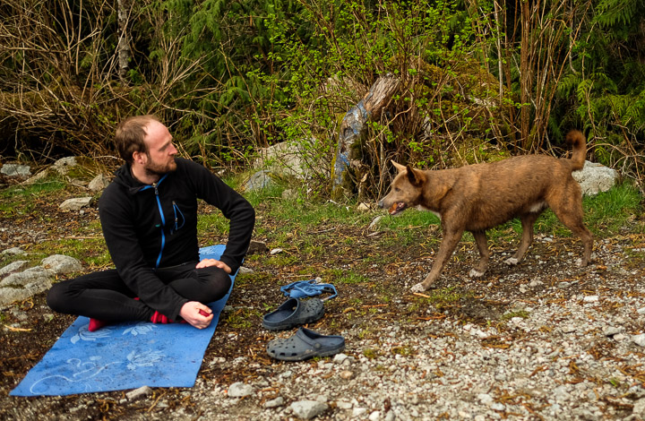
Frank and his loyal dog Wilson. Frank told us all about the area, including where the best places to eat are :)
Created by: Sebastien Benoit Keywords: Frank, Muriel Lake, Wilson
Map: 49.127, -125.62
|
|
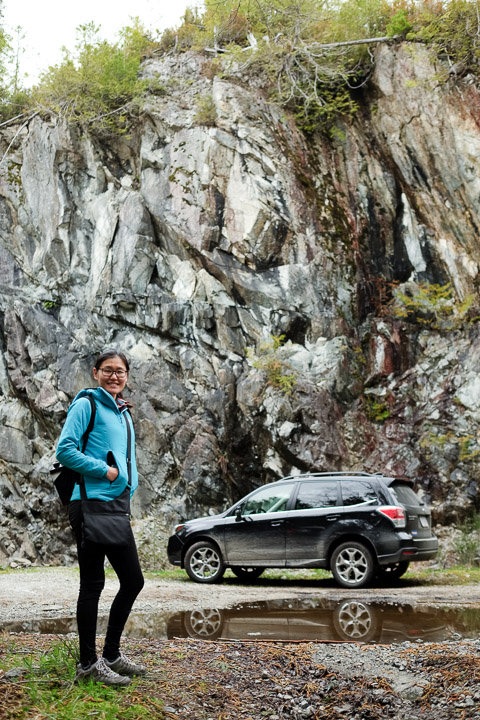
"Did we get extra insurance on this?" -Sejin
Glad we had all-wheel drive, haha.
Created by: Sebastien Benoit Keywords: Sejin, Subaru Forester
Map: 49.127, -125.62
|
|
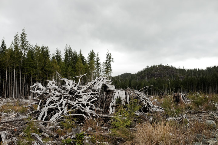
Forest clearing.
Created by: Sebastien Benoit
Map: 49.12, -125.617
|
|
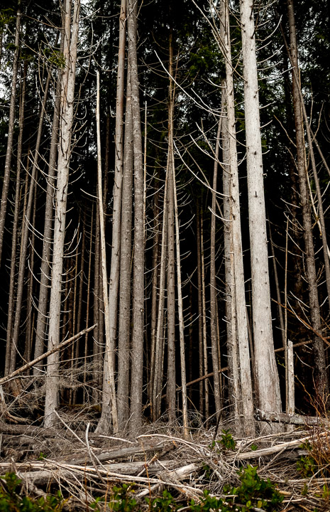
The treeline.
Created by: Sebastien Benoit
Map: 49.12, -125.61
|
|
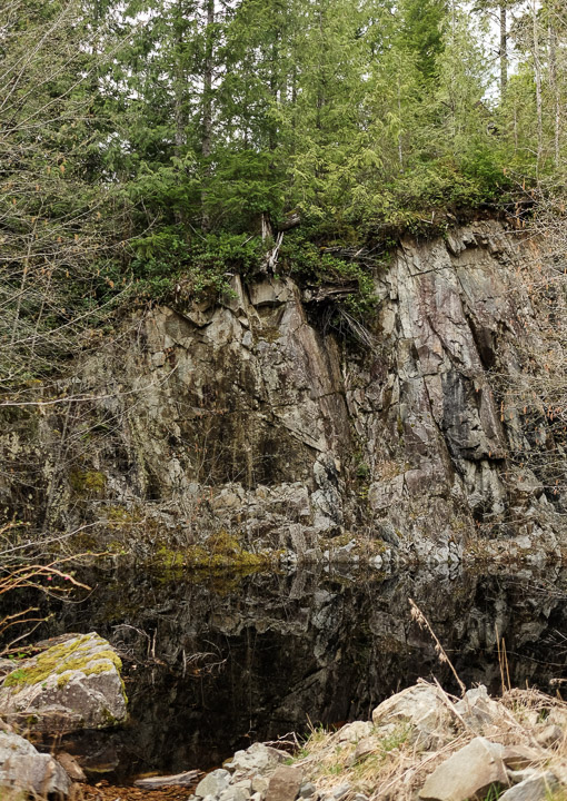
Micro-lake.
Created by: Sebastien Benoit
Map: 49.021, -125.582
|
|
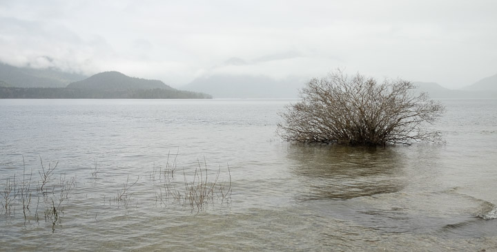
Kennedy Lake from the opposite (east) side. Strange place for a tree?
Created by: Sebastien Benoit Keywords: Kennedy Lake
Map: 49.048, -125.502
|
|
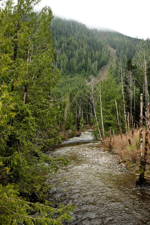
Can't figure out what this river is called, but it flows to Maggie Lake.
Created by: Sebastien Benoit
Map: 49.042, -125.432
|
|
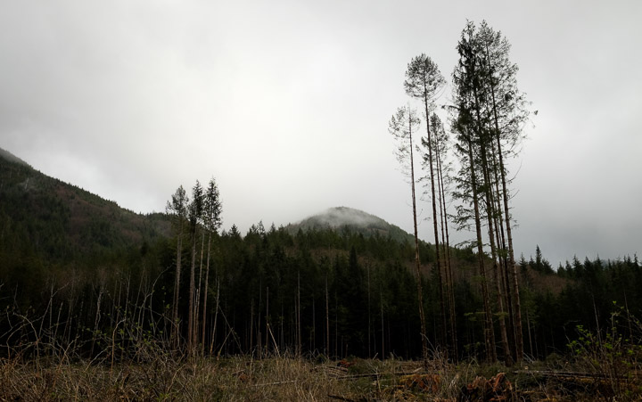
Clearing most, sparing some.
Created by: Sebastien Benoit
Map: 49.028, -125.432
|

|
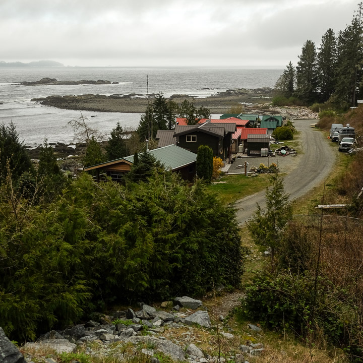
A panoramic of the cute little cottage/fishing town of Salmon Beach.
Created by: Sebastien Benoit Keywords: Salmon Beach
Map: 48.958, -125.434
|
|
We saw a few local fishermen with a particularly small dog.
Created by: Sebastien Benoit Keywords: Salmon Beach
Map: 48.958, -125.434
|
|
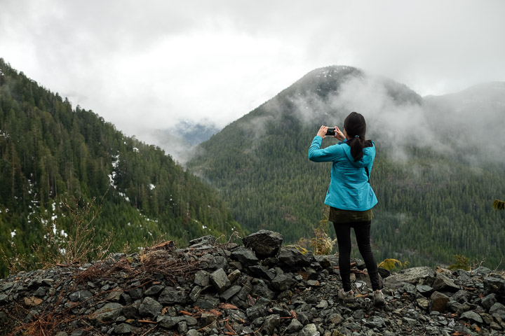
Partway up the rocky climb to see Adder Mountain
Created by: Sebastien Benoit Keywords: Adder Mountain
Map: 49.28, -125.331
|
|
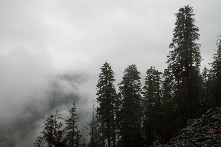
A cloudy morning.
Created by: Sebastien Benoit Keywords: Adder Mountain
Map: 49.28, -125.331
|
|
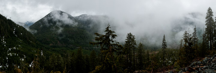
In the clouds.
Created by: Sebastien Benoit Keywords: Adder Mountain
Map: 49.28, -125.331
|
|
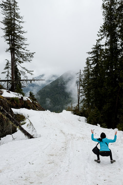
Zoidberg?
Created by: Sebastien Benoit Keywords: Adder Mountain, Sejin
Map: 49.278, -125.327
|
|
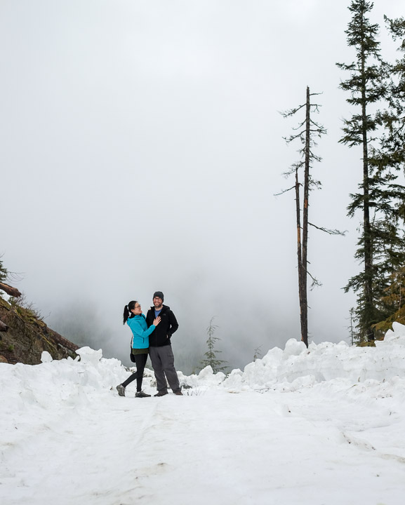
Definitely a candid photo, certainly not planned at all.
Created by: Sebastien Benoit Keywords: Adder Mountain, Sejin
Map: 49.278, -125.327
|
|
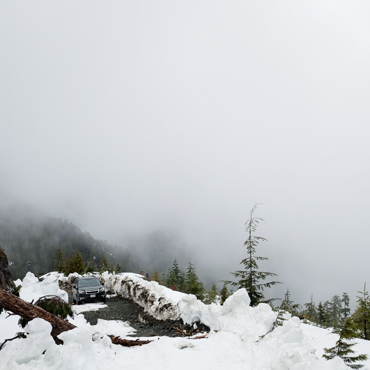
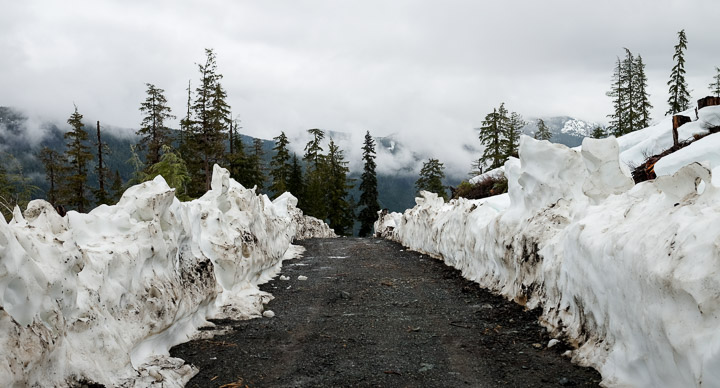
That's as far as we could take the Subaru. and we couldn't walk up much farther as the snow got pretty deep quickly. The road was pretty bad, and got progressively worse the farther we got up. From this point, we had to back up about 100 feet to a spot where we could turn it around.
Created by: Sebastien Benoit Keywords: Adder Mountain, Subaru Forester
Map: 49.278, -125.328
|
|
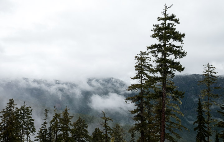
Clouds rolling over the range.
Created by: Sebastien Benoit Keywords: Adder Mountain
Map: 49.279, -125.329
|
|
Probably the only 'good' section of this road.
Created by: Sebastien Benoit Keywords: Adder Mountain
Map: 49.28, -125.328
|
|
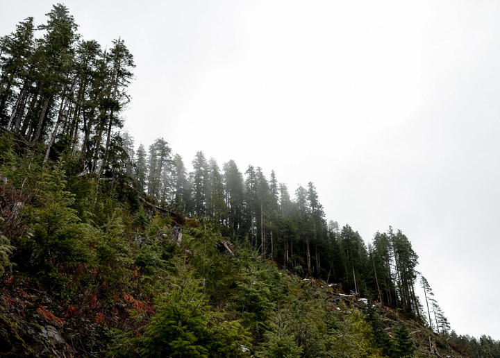
Old growth, new growth.
Created by: Sebastien Benoit Keywords: Adder Mountain
Map: 49.279, -125.332
|
|
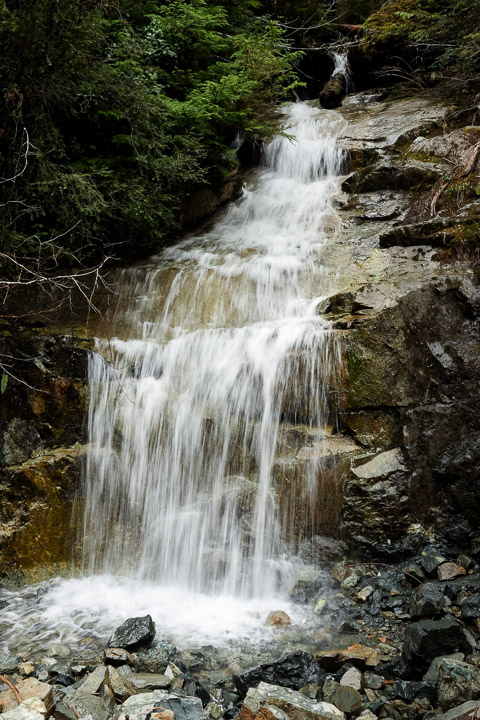
Little waterfall.
Created by: Sebastien Benoit Keywords: Adder Mountain
Map: 49.279, -125.352
|
|
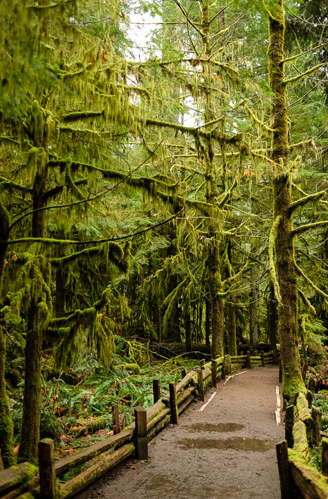
Moss wonderland.
Created by: Sebastien Benoit Keywords: Cathedral Grove
Map: 49.291, -124.663
|
|
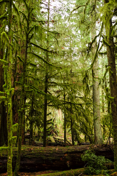
Fallen trees dash the entire forest floor.
Created by: Sebastien Benoit Keywords: Cathedral Grove
Map: 49.29, -124.662
|
|
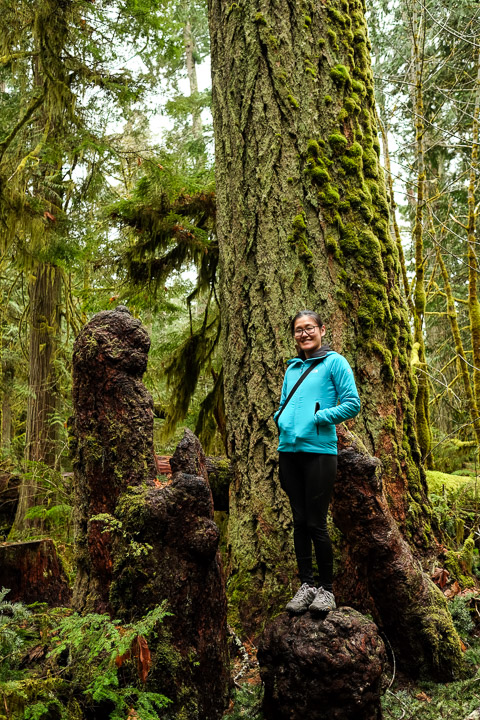
Live stump!
Created by: Sebastien Benoit Keywords: Cathedral Grove, Sejin
Map: 49.29, -124.661
|
|
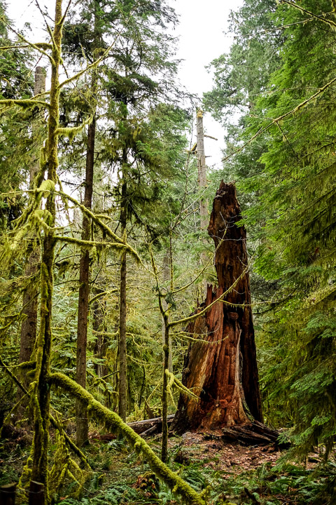
Ruins.
Created by: Sebastien Benoit Keywords: Cathedral Grove
Map: 49.291, -124.66
|
|
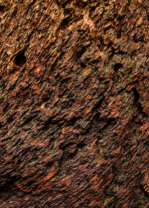
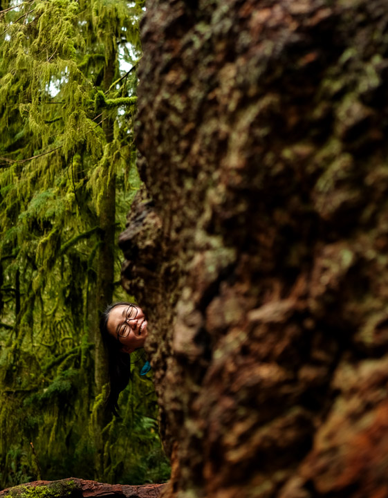
The bark of this tree looked like lava.
Created by: Sebastien Benoit Keywords: Bark, Cathedral Grove
Map: 49.291, -124.66
|
|
Hiding behind these trees is pretty effective.
Created by: Sebastien Benoit Keywords: Bark, Cathedral Grove, Sejin
Map: 49.291, -124.66
|
|
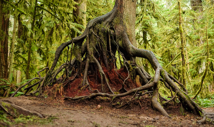
It appears there used to be an old tree stump that this young tree grew through, and eventually the old stump rotted away leaving just the new roots.
Created by: Sebastien Benoit Keywords: Cathedral Grove
Map: 49.291, -124.661
|
|
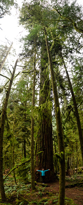
Not the biggest tree in the park...
Created by: Sebastien Benoit Keywords: Cathedral Grove, Sejin
Map: 49.291, -124.661
|
|
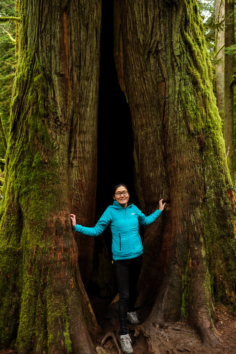
This Airbnb had a decent rating.
Created by: Sebastien Benoit Keywords: Cathedral Grove, Sejin
Map: 49.291, -124.661
|
|
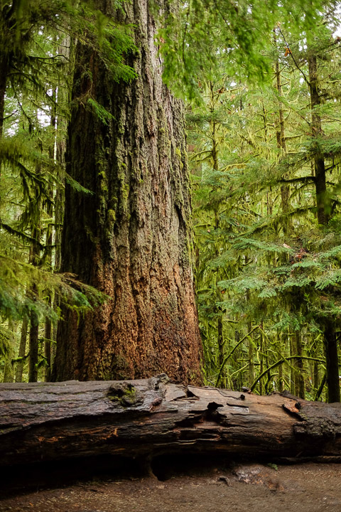
For perspective, the fallen tree at the base is about 5 feet in diameter.
Created by: Sebastien Benoit Keywords: Cathedral Grove, Douglas Fir, Largest Tree in Cathedral Grove
Map: 49.29, -124.662
|
|
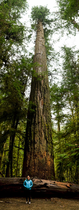
Vertical panoramic of the largest tree in the park. 800 years old, 250 feet tall, and over 9 feet in diameter.
Created by: Sebastien Benoit Keywords: Cathedral Grove, Douglas Fir, Largest Tree in Cathedral Grove, Sejin
Map: 49.29, -124.662
|
|
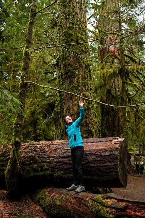
Tree climbing is easier if they don't point upwards.
Created by: Sebastien Benoit Keywords: Cathedral Grove, Sejin
Map: 49.29, -124.662
|

|
Arriving at the last Airbnb of the trip.
Created by: Sebastien Benoit Keywords: Sejin, The Janion, Victoria
Map: 48.429, -123.371
|
|
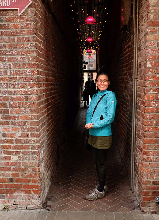
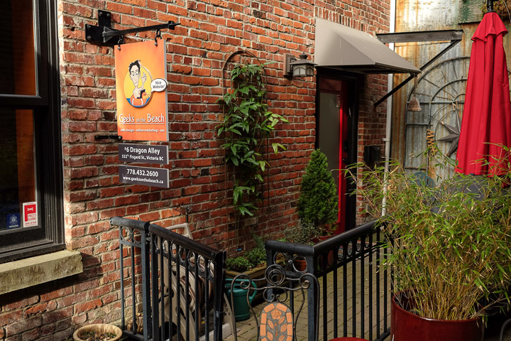
Poking through Dragon Alley. Did not see even one dragon, though.
Created by: Sebastien Benoit Keywords: Dragon Alley, Sejin, Victoria
Map: 48.43, -123.368
|
|
Where a friend use to live.
Created by: Sebastien Benoit Keywords: Dragon Alley, Geeks on the Beach, Victoria
Map: 48.43, -123.368
|
|
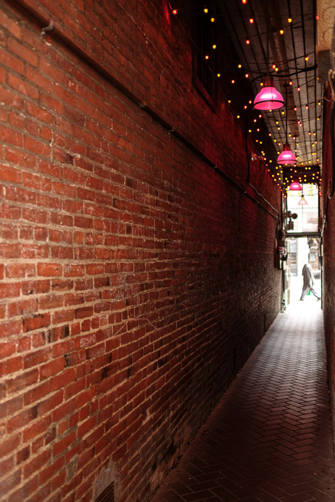
We spent a lot of time in this alley when I visited back in winter 2009. Like nothing has changed!
Created by: Sebastien Benoit Keywords: Dragon Alley, Victoria
Map: 48.43, -123.368
|
|
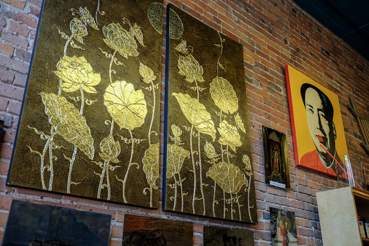
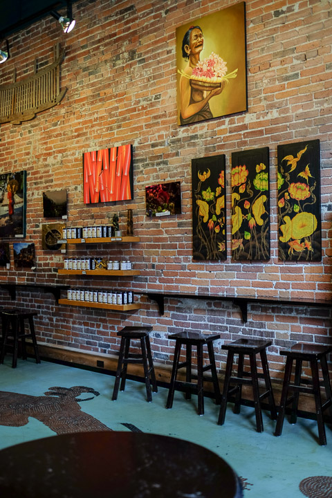
Appropriate bubble tea decor, I suppose.
Created by: Sebastien Benoit Keywords: The Bubble Tea Place, Victoria
Map: 48.429, -123.369
|
|
This bubble tea shop also displayed local art for sale; some wonderful pieces.
Created by: Sebastien Benoit Keywords: The Bubble Tea Place, Victoria
Map: 48.429, -123.369
|
|
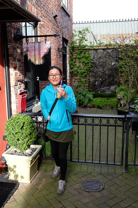
The theme of this trip, if anything, is "BUBBLE BUBBLE BUBBLE TEA!"
Created by: Sebastien Benoit Keywords: Dragon Alley, Sejin, Victoria
Map: 48.43, -123.368
|
|
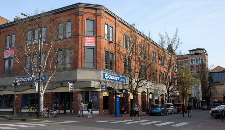
Hey, I have one of those.
Created by: Sebastien Benoit Keywords: Giant, Victoria
Map: 48.427, -123.366
|
|
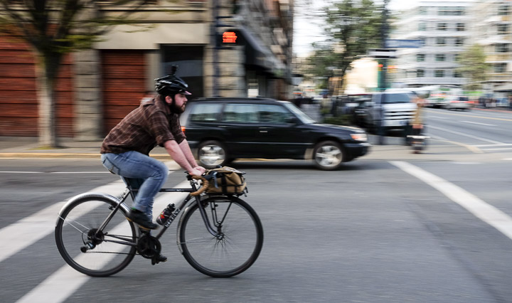
Sejin and I were pleasantly surprised at how many cyclists there were zipping around this city. For sure, the infrastructure is there to support it with dedicated bike lanes throughout.
Created by: Sebastien Benoit Keywords: Cyclist, Victoria
Map: 48.427, -123.364
|
|
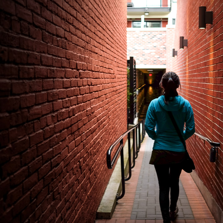
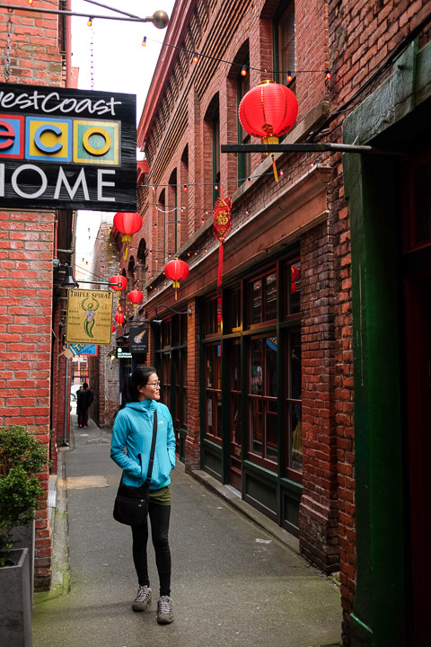
There are walking alleys winding through many of the buildings in the downtown core.
Created by: Sebastien Benoit Keywords: Fan Tan Alley, Victoria
Map: 48.429, -123.368
|
|
These alleys all have cute little shops.
Created by: Sebastien Benoit Keywords: Fan Tan Alley, Lanterns, Sejin, Victoria
Map: 48.429, -123.368
|

|
Walk to your Heart's Content.
Created by: Sebastien Benoit Keywords: Fan Tan Alley, Heart's Content, Lanterns, Victoria
Map: 48.429, -123.368
|
|
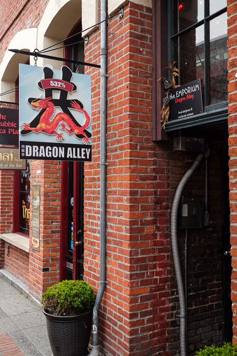
The head of Dragon Alley, conveniently located right next to The Bubble Tea Place, hmm...
Created by: Sebastien Benoit Keywords: Victoria
Map: 48.429, -123.368
|
|
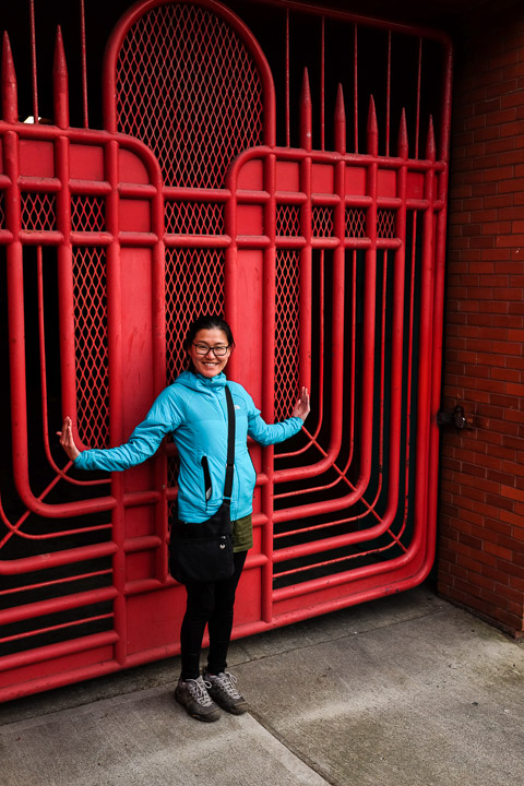
One with the gate.
Created by: Sebastien Benoit Keywords: Red Gate, Sejin, Victoria
Map: 48.429, -123.37
|
|
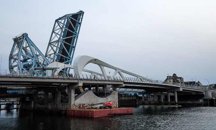
The replacement for the Johnson Street Bridge opened up only a few weeks ago.
Created by: Sebastien Benoit Keywords: Johnson Street Bridge, Victoria
Map: 48.429, -123.371
|
|
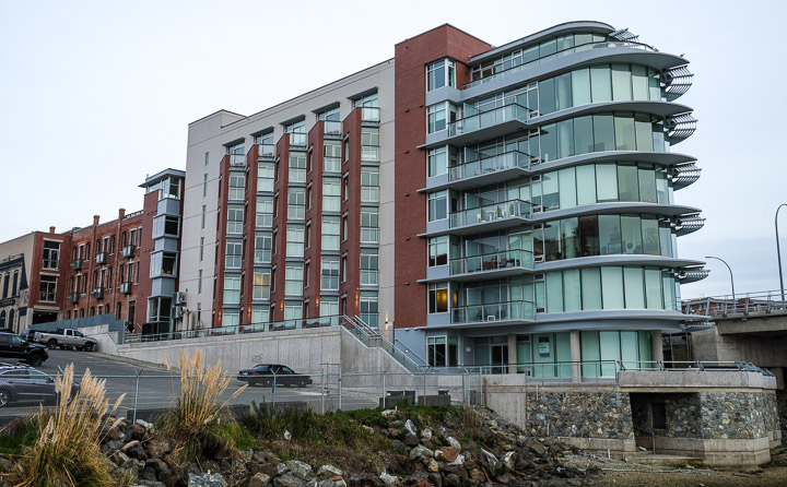
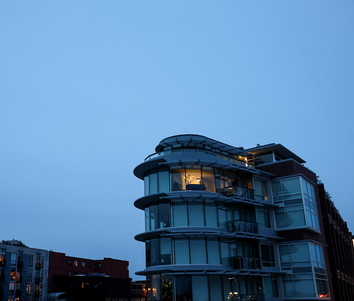
Our Airbnb (the waterfront unit, 3rd from the top). This building is named The Janion; it's an old building that was in disrepair until a developer proposed to renovate it into condos as long as the city gave up the strip of property between it and the water, which they did. The new part of the building shown here overlooks the Inner Harbour to the south, and Upper Harbour to the north.
Created by: Sebastien Benoit Keywords: The Janion, Victoria
Map: 48.429, -123.371
|
|
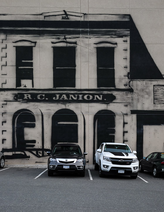
Mural of The Janion on the side of The Janion.
Created by: Sebastien Benoit Keywords: Parking Lot, Seagull, The Janion, Victoria
Map: 48.429, -123.37
|
|
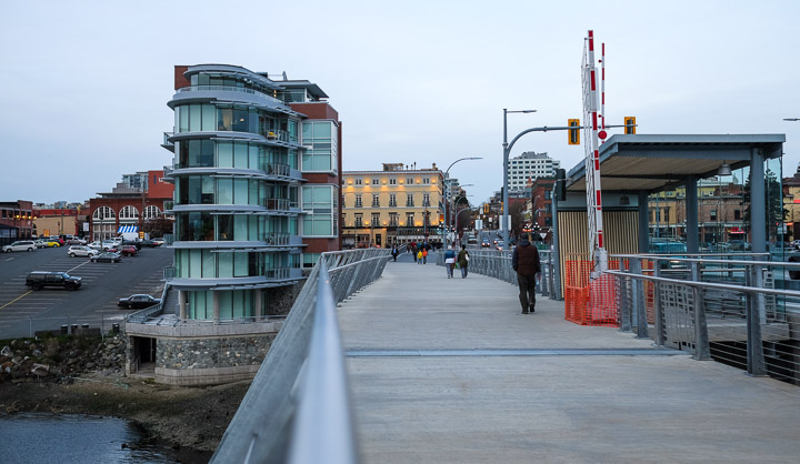
The view of the Janion from the new Johnson Street Bridge.
Created by: Sebastien Benoit Keywords: Johnson Street Bridge, The Janion, Victoria
Map: 48.429, -123.372
|
|
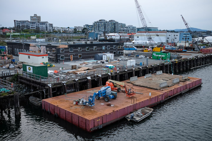
Don't just barge in here like you own the harbour.
Created by: Sebastien Benoit Keywords: Barge, Upper Harbour, Victoria
Map: 48.428, -123.372
|
|
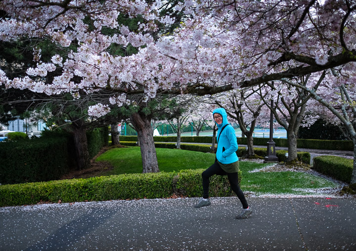
wut.
Created by: Sebastien Benoit Keywords: Cherry Blossom, Sejin, Victoria
Map: 48.428, -123.375
|
|
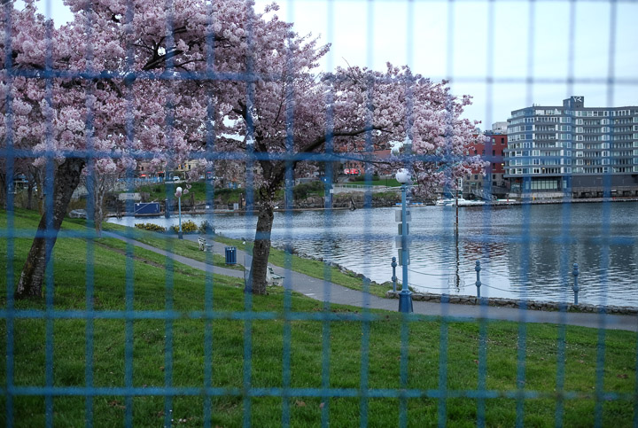
This area was fenced in, I assume because they were working on the old Johnson Street Bridge... A bit excessive, no?
Created by: Sebastien Benoit Keywords: Cherry Blossom, Fence, Inner Harbour, Victoria
Map: 48.428, -123.374
|
|
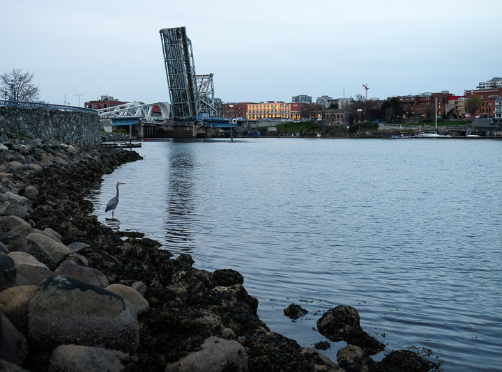
Hello heron.
Created by: Sebastien Benoit Keywords: Heron, Inner Harbour, Johnson Street Bridge, Victoria
Map: 48.426, -123.375
|
|
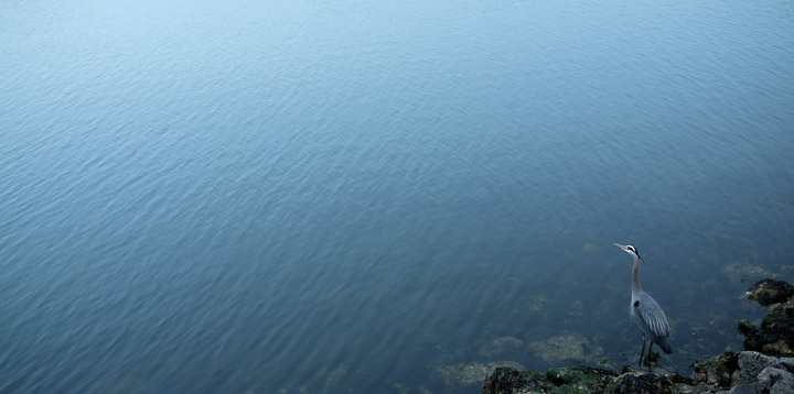
Lonely heron. We witnessed this heron randomly snap up a small fish and swallow it whole.
Created by: Sebastien Benoit Keywords: Heron, Inner Harbour, Victoria
Map: 48.427, -123.375
|
|
Kitty corner to our unit was the lit up unit where you can see a grand piano by the windows. We actually heard it being played later on that same night.
Created by: Sebastien Benoit Keywords: The Janion, Victoria
Map: 48.429, -123.371
|

|
The old part of the building.
Created by: Sebastien Benoit Keywords: The Janion, Victoria
Map: 48.429, -123.37
|
|
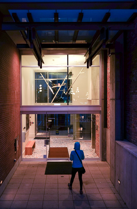
The entrance to the lobby.
Created by: Sebastien Benoit Keywords: Sejin, The Janion, Victoria
Map: 48.429, -123.37
|
|
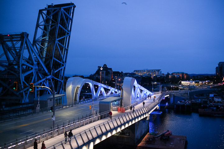
At night the new bridge lights up beautifully.
Created by: Sebastien Benoit Keywords: Johnson Street Bridge, Upper Harbour, Victoria
Map: 48.429, -123.371
|
|
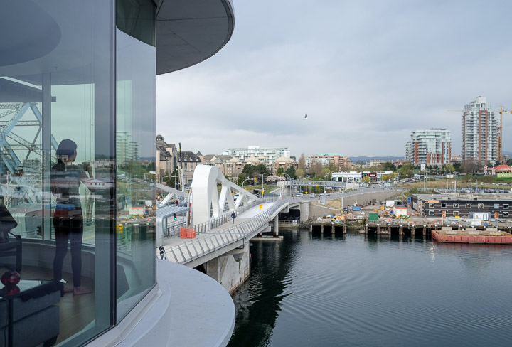
Sejin watching the seagulls swoop around the building.
Created by: Sebastien Benoit Keywords: Johnson Street Bridge, Sejin, The Janion, Upper Harbour, Victoria
Map: 48.429, -123.371
|

|
U-turn. I guess he didn't want to be in my picture. Also, it was raining a bit, and you can see in the top irght a hint of a rainbow.
Created by: Sebastien Benoit Keywords: Rainbow, Upper Harbour, Victoria, Water Taxi
Map: 48.429, -123.371
|
|
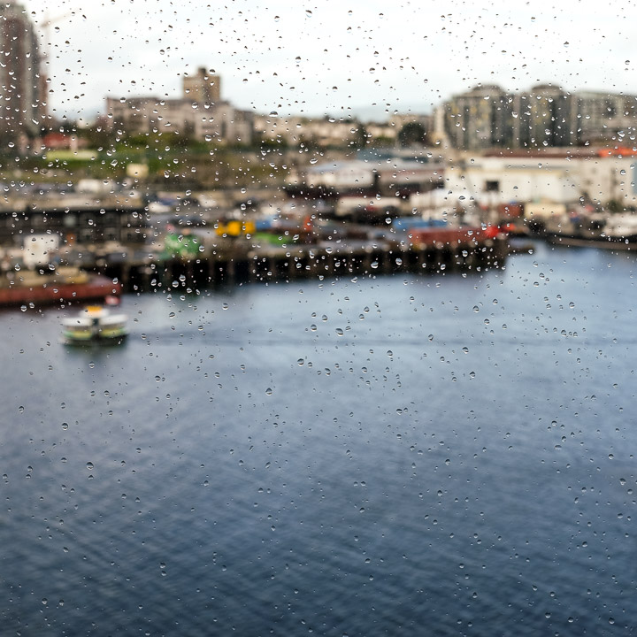
Droplet filter effect.
Created by: Sebastien Benoit Keywords: Rain Droplets, Upper Harbour, Victoria, Water Taxi
Map: 48.429, -123.371
|
|
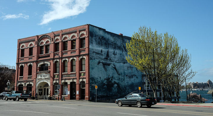
Beautiful mural.
Created by: Sebastien Benoit Keywords: Mural, The Guild, Victoria
Map: 48.427, -123.37
|
|
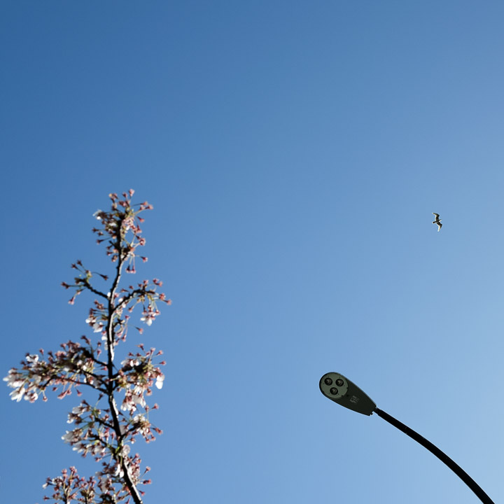
Trio.
Created by: Sebastien Benoit Keywords: Seagull, Street Lamp, Victoria
Map: 48.427, -123.371
|
|
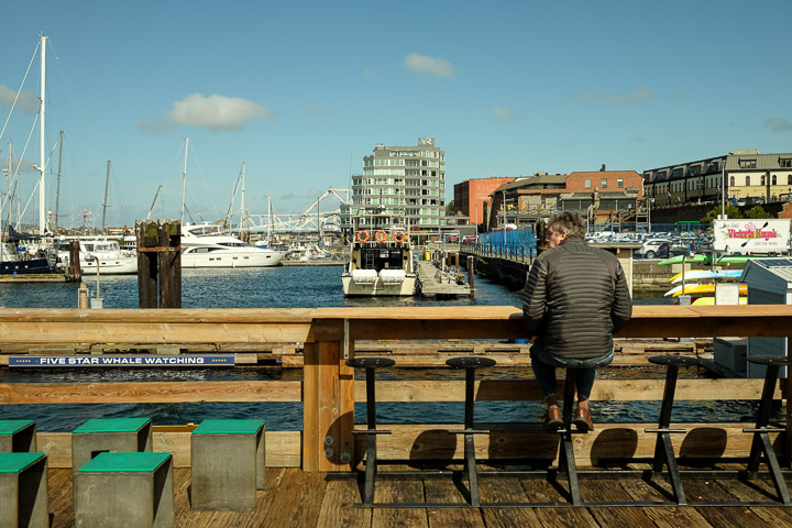
Folks, including this gentleman, were lining up to eat seafood prepared in seacan, the Red Fish Blue Fish restaurant.
Created by: Sebastien Benoit Keywords: Inner Harbour, Victoria
Map: 48.424, -123.371
|
|
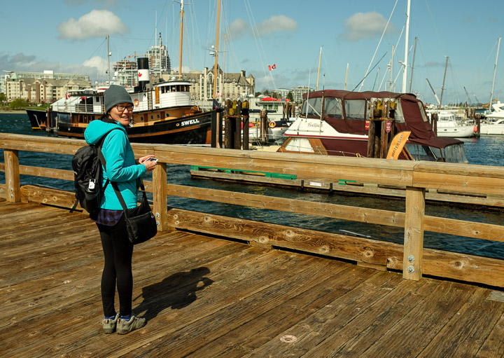
"That boat is Swell." -Sejin
Created by: Sebastien Benoit Keywords: Inner Harbour, Sejin, Sejin Jang, Victoria
Map: 48.424, -123.371
|
|
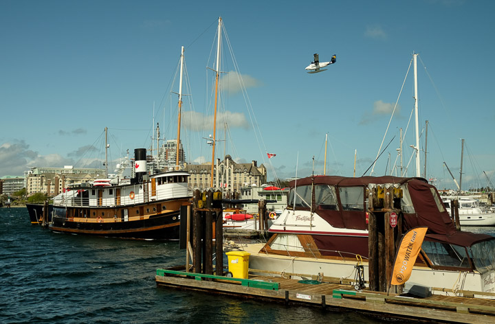
Seaplane coming in for a landing. They fly low, right over our condo. We saw them quite often as there's a pretty busy airport about 200 feet from where I took this picture.
Created by: Sebastien Benoit Keywords: Inner Harbour, Sea Plane, Victoria
Map: 48.424, -123.371
|
|
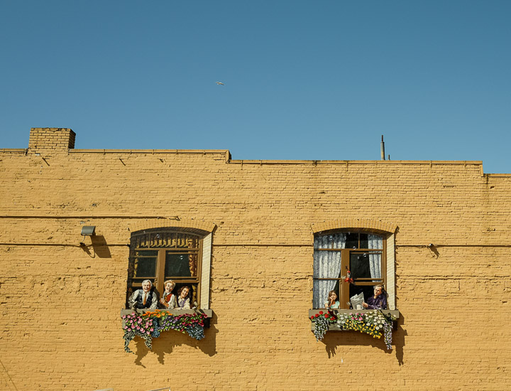
Creative murals.
Created by: Sebastien Benoit Keywords: Victoria
Map: 48.425, -123.369
|

|
Vibrant.
Created by: Sebastien Benoit Keywords: Mural, Victoria
Map: 48.426, -123.369
|
|
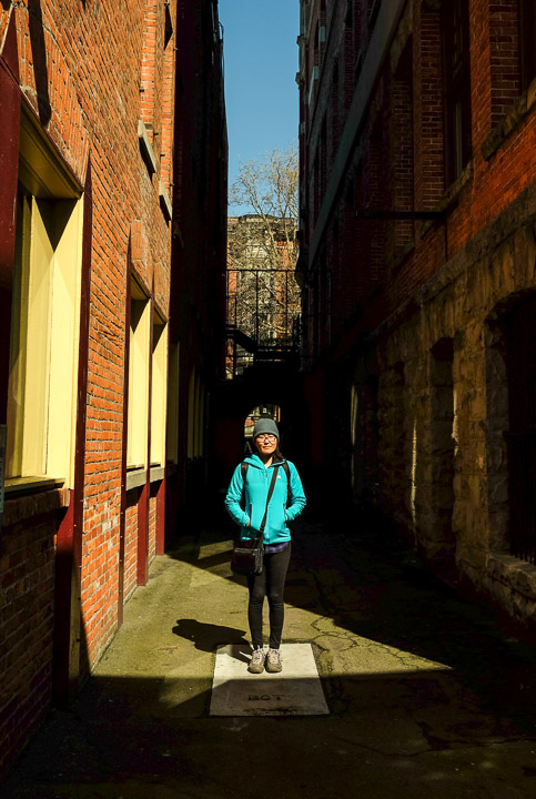
A slice of light.
Created by: Sebastien Benoit Keywords: Helmcken Alley, Sejin, Victoria
Map: 48.426, -123.369
|
|
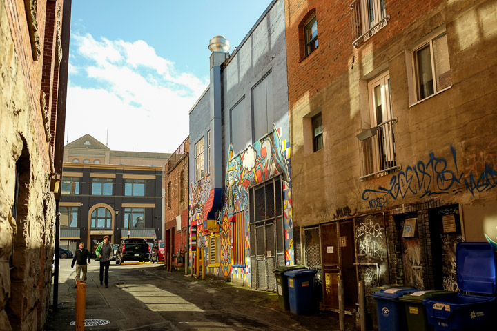
Murals and graffiti.
Created by: Sebastien Benoit Keywords: Graffiti, Mural, Victoria
Map: 48.425, -123.369
|
|
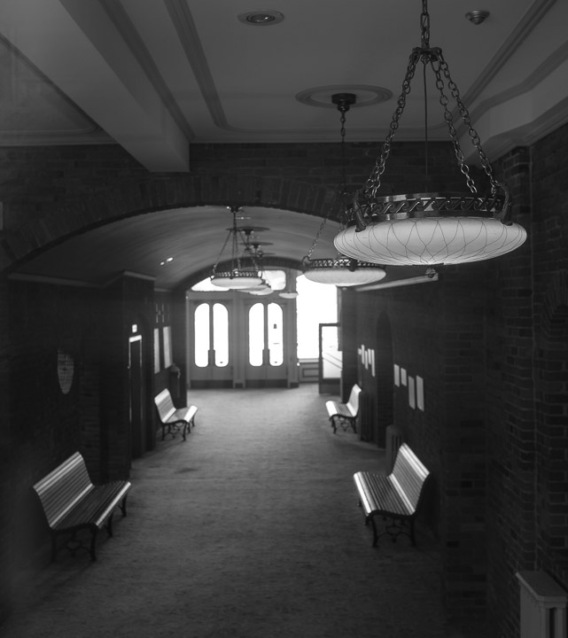
What appeared to be an unoccupied building.
Created by: Sebastien Benoit Keywords: Helmcken Alley, Victoria
Map: 48.426, -123.369
|
|
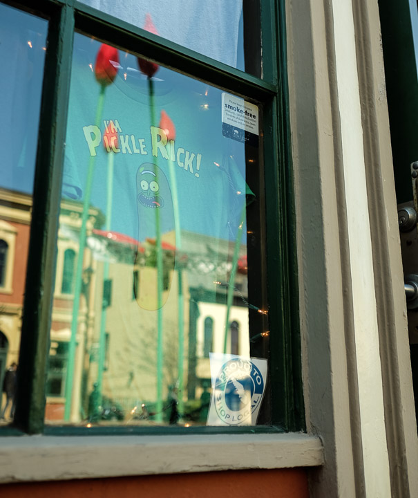
Pickle Rick enjoying the view of a few 20 foot rose stems.
Created by: Sebastien Benoit Keywords: Pickle Rick, Rose, Victoria
Map: 48.426, -123.369
|
|
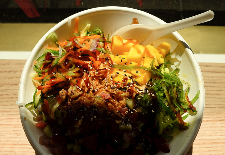
Sejin, stop stealing my food.
Created by: Sebastien Benoit Keywords: Bento Sushi, Poke Bowl, Victoria
Map: 48.425, -123.366
|
|
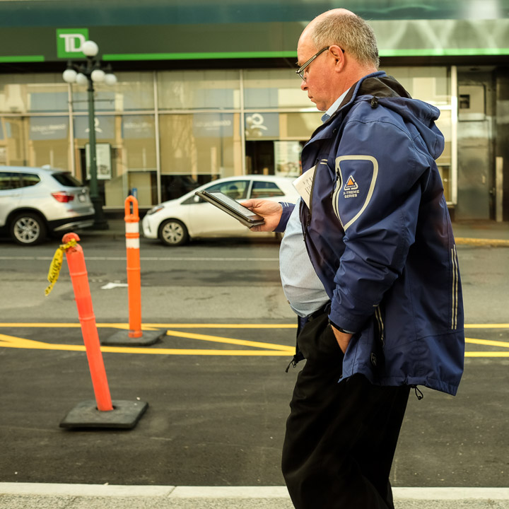
People watching from our perch in the little Bento Sushi restaurant. This guy was reading his eReader while walking down the street. Avid!
Created by: Sebastien Benoit Keywords: Bento Sushi, TD, Victoria, eReader
Map: 48.424, -123.366
|
|
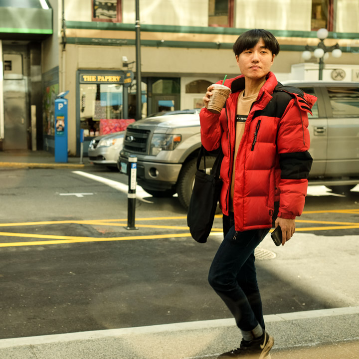
That's not a bubble tea, Sejin.
Created by: Sebastien Benoit Keywords: Bento Sushi, Victoria
Map: 48.425, -123.366
|
|
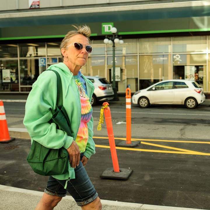
Colour coordinated.
Created by: Sebastien Benoit Keywords: Bento Sushi, TD, Victoria
Map: 48.425, -123.366
|
|
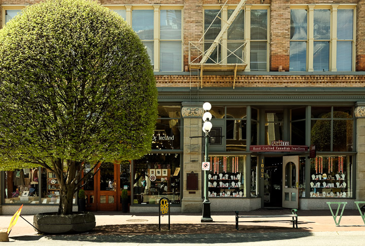
A polished tree. Not a sprig out of place!
Created by: Sebastien Benoit Keywords: Tree, Victoria
Map: 48.424, -123.368
|
|
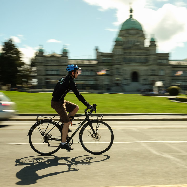
Zooming.
Created by: Sebastien Benoit Keywords: British Columbia Legislature, Cyclist, Victoria
Map: 48.421, -123.37
|
|
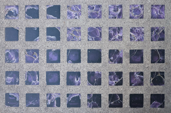
These pretty purple prisms were embedded into the sidewalk around the Yarrow building, first laid in c1909. These actually allowed light to shine into the basement which extended below the sidewalk.
Created by: Sebastien Benoit Keywords: Sidewalk, Victoria, Yarrow Building
Map: 48.425, -123.367
|
|
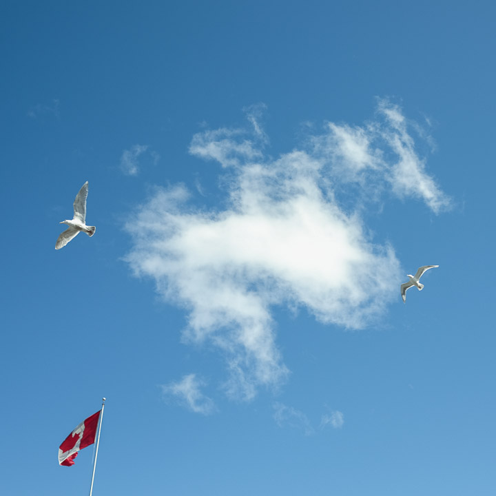
Saluting the flag.
Created by: Sebastien Benoit Keywords: Seagull, Victoria
Map: 48.426, -123.365
|

|
Birds of a feather.
Created by: Sebastien Benoit Keywords: Mac's, Seagull, Victoria
Map: 48.426, -123.365
|
|
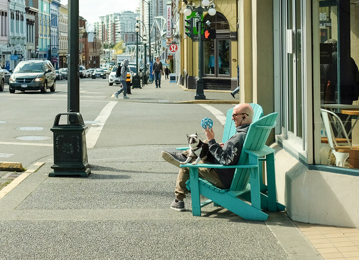
Playtime with little doggo.
Created by: Sebastien Benoit Keywords: Dog, Victoria
Map: 48.427, -123.367
|
|
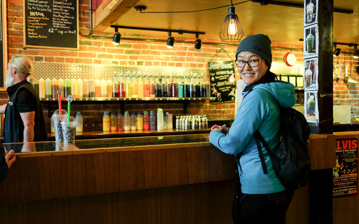
Bubble tea. Again.
Created by: Sebastien Benoit Keywords: Sejin, Sejin Jang, The Bubble Tea Place, Victoria
Map: 48.429, -123.369
|
|
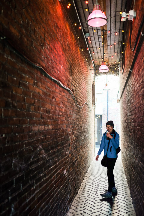
Another trip through Dragon Alley.
Created by: Sebastien Benoit Keywords: Dragon Alley, Sejin, Sejin Jang, Victoria
Map: 48.429, -123.369
|
|
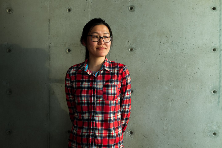
There was a large exposed concrete wall in the Airbnb, and we took advantage of it, and the warm sunset light, to take a new portrait of Sejin.
Created by: Sebastien Benoit Keywords: Concrete Wall, Sejin, Sejin Jang, The Janion, Victoria
Map: 48.429, -123.371
|
|
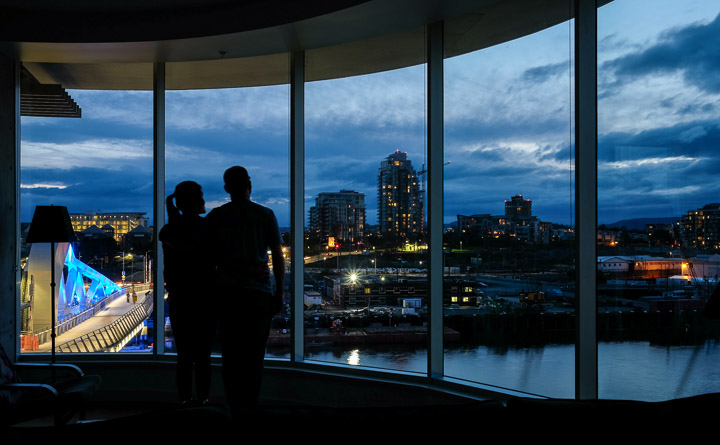
Looks candid, doesn't it?
Created by: Sebastien Benoit Keywords: Johnson Street Bridge, Sebastien, Sejin, The Janion, Upper Harbour, Victoria
Map: 48.429, -123.371
|
|
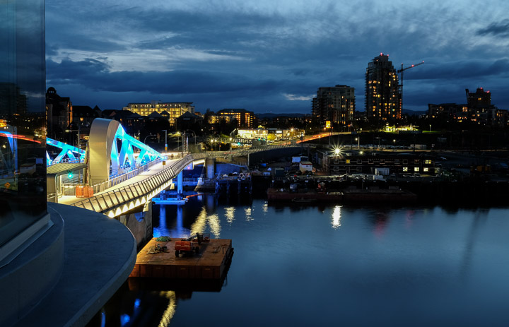
The night view of harbour is great, especially with the new bridge and being able to see everyone walking, running, and cycling across it. We were lucky to see it lifted twice while we were there.
Created by: Sebastien Benoit Keywords: Johnson Street Bridge, Upper Harbour, Victoria
Map: 48.429, -123.371
|
|
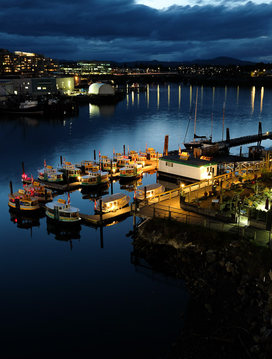
Taxi boats at rest for the night.
Created by: Sebastien Benoit Keywords: Upper Harbour, Victoria, Water Taxi
Map: 48.429, -123.371
|
|
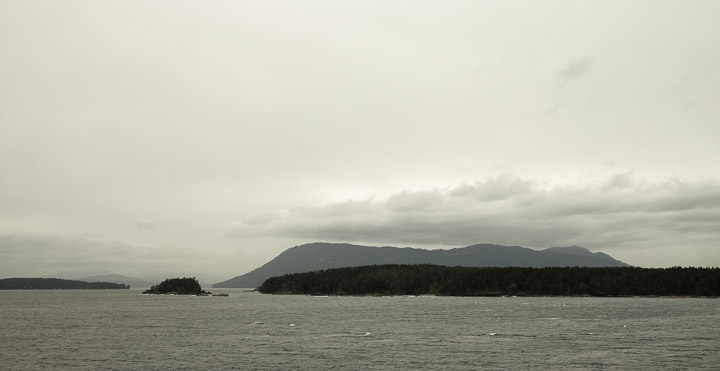
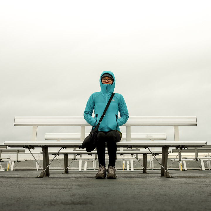
On the chilly ferry ride back from Victoria to Vancouver. There were fewer passengers than the last time, so Sejin and I go to enjoy the views mostly in solitude.
Created by: Sebastien Benoit Keywords: Tsawwassen, Swartz Bay
Map: 48.717, -123.347
|
|
End of the trip, but start of our journey back home.
Created by: Sebastien Benoit Keywords: Sejin, Tsawwassen, Swartz Bay
Map: 48.727, -123.346
|